

Today’s Forecast:
It's back to work and school day for many Coloradans after the long holiday weekend. To help cure your holiday weekend hangover, we're looking at a nice day across the area. Temperatures will be near to slightly above average in most areas, topping out in the 70s, 80s and lower 90s this afternoon.
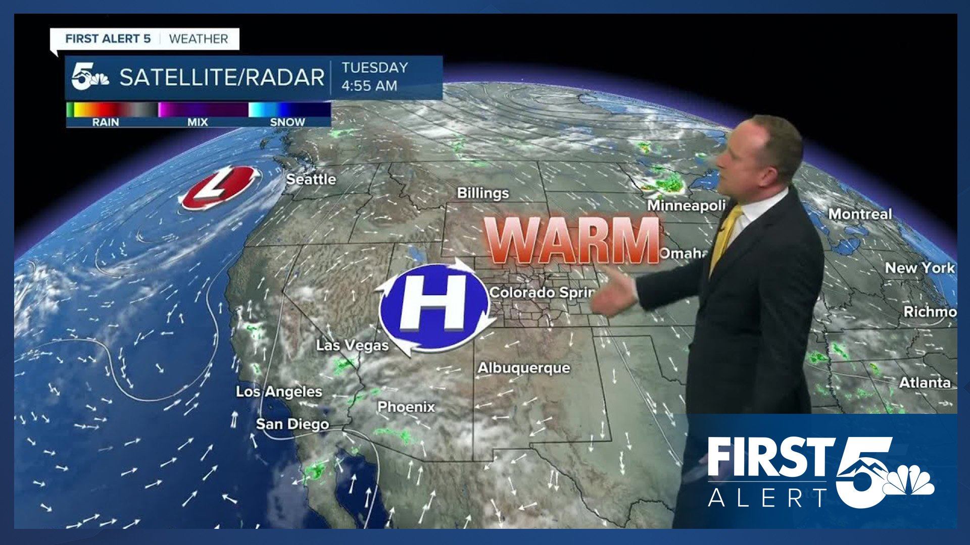
The main difference from yesterday to today is that we'll see more showers over the mountains this afternoon. These showers will want to travel towards I-25 this afternoon and evening, but rain will have trouble reaching the ground is most areas due to dry air at the surface. In today's set-up, the mountains will see the best chances for rain.
Colorado Springs forecast: High: 81; Low: 53. Temperature wise, it will be about the same as yesterday as we look to top out in the lower 80s. Unlike yesterday, sunshine will be replaced with stormier skies this afternoon as high based showers over the mountains drift towards the Pikes Peak Region.
Pueblo forecast: High: 88; Low: 55. Sunshine and fall-like temperatures this morning will give way to a warm and partly cloudy afternoon. While rain is not expected here today (10% rain chance), we're likely to see scattered showers west of I-25.
Canon City forecast: High: 85; Low: 57. Skies will go from bright and sunny to partly to mostly cloudy this afternoon as rain develops in the mountains that surround Canon City. In town, rain chances today will remain low, around 20%.
Woodland Park forecast: High: 74; Low: 44. After a couple of drier days, moisture will increase around Teller County today, leading to the potential for widely scattered showers and thunderstorms this afternoon and evening.
Tri-Lakes forecast: High: 70s/80s; Low: 40s/50s. We're feeling the chill this morning as out the door temperatures have been in the 40s. Highs this afternoon will warm into the 70s and very low 80s, with increasing clouds this afternoon and a small chance of a quick passing shower or thunderstorm.
Plains forecast: High: 80s/90s; Low: 50s. Dry skies for the Plains today as most of the rain that forms this afternoon should stay fairly close to the foothills and mountains, with only around a 10% chance of showers east of I-25.
Walsenburg and Trinidad forecast: High: 70s/80s; Low: 40s/50s. After a couple of gorgeous and sunny days, skies will turn a little darker this afternoon as rain returns to the mountains. Locally, rain chances will be around 20%.
Mountains forecast: High: 60s; Low: 30s/40s. Showers will be more numerous today in the mountains versus what we saw yesterday, but will still remain on the scattered side as a whole. Storms that form this afternoon will bring the potential for lightning, gusty winds and moderate rainfall.
Extended outlook forecast:
A cold front on Wednesday won't bring any cooling to Southern Colorado, but it will bring us a breezy day. Peak N/NE wind gusts of 15-30 mph can be expected, with any rain tomorrow mainly tied to the higher elevations.
Thursday will be our warmest day this week, with highs in the middle to upper 80s in the Colorado Springs area, with 90s in Pueblo and Canon City. Skies will be mostly clear to partly cloudy. A stronger cold front on Friday will drop highs by as much as 10-20 degrees, and bring us a chance for afternoon showers and thunderstorms to close out the week. Highs will rebound into the 70s and 80s this weekend on the Plains, with a daily chance of storms remaining in our forecast.
____
Curious about the First Alert 5 Weather Storm Impact Scale? Check out our cheatsheet explainer.
Watch KOAA News5 on your time, anytime with our free streaming app available for your Roku, FireTV, AppleTV and Android TV. Just search KOAA News5, download and start watching.
