

Tonight's Forecast:
A few mountain sprinkles remain possible before 8 PM, but for the most part rain today won't reach the ground. Skies remain partly to mostly cloudy across the plains through 9-10 PM, before slowly clearing becoming mostly clear overnight.
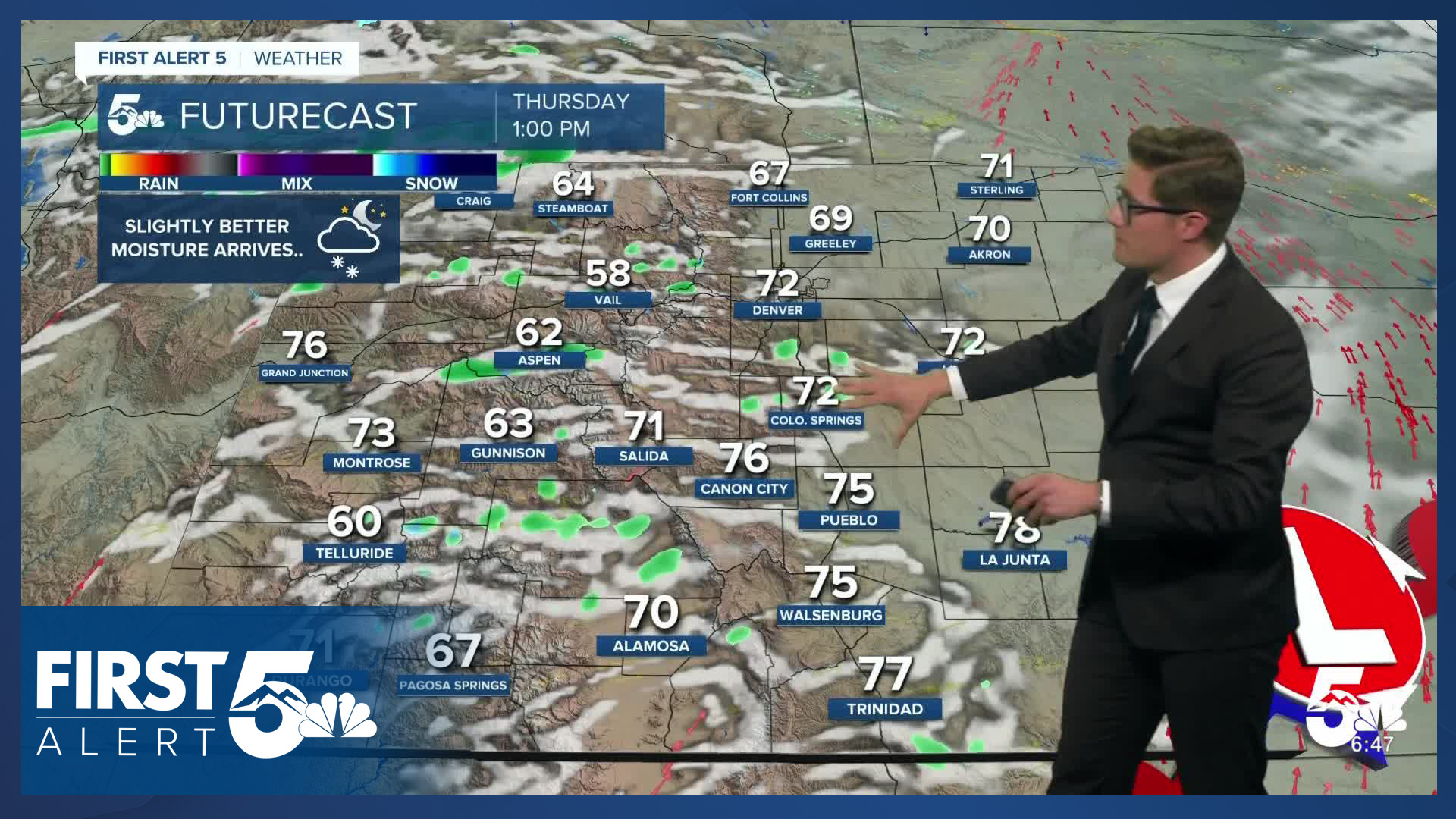
Colorado Springs forecast: Low: 37; High: 73;
Mostly cloudy with virga (rain that doesn't reach the ground) through 8 PM, with skies then slowly becoming partly cloudy through around 10 PM. Clouds continue to clear out into the overnight. It will remain breezy on the east side of the city through about 9:00 PM with an easterly flow at 10-15 mph, gusting in the 20 mph range. The wind will drop off after that though.
Pueblo forecast: Low: 38; High: 82;
Mostly cloudy becoming mostly clear. Breezy until 8:00 PM. Northeast winds at 10-15 mph, gusting to 25 mph before 8:00 PM.
Canon City forecast: Low: 42; High: 77;
Mostly cloudy becoming mostly clear. North winds at 5-10 mph becoming light.
Woodland Park forecast: Low: 35; High: 66;
Mostly cloudy becoming clear after midnight. West winds - generally weak and sporadic - at 5-10 mph.
Tri-Lakes forecast: Low: 30s; High: 60s;
Mostly cloudy becoming clear overnight. A stray sprinkle is possible before 9:00 PM - but no wetting rains. You do not need rain gear. South winds at 10-15 mph.
Plains forecast: Low: 30s; High: 80s;
Decreasing clouds becoming partly cloudy. Northeast winds at 10-20 mph.
Walsenburg and Trinidad forecast: Low: 40/39; High: 76/79;
Mostly cloudy becoming clear overnight. West winds at 5-15 mph.
Mountains forecast: Low: 30s; High: 60s/70s;
Mostly cloudy before 11 PM then becoming mostly clear. West winds at 5-10 mph.
Extended outlook forecast:
Multiple upper-level waves move through Colorado over the next several days. There is a chance of showers Thursday afternoon, with a few rumbles of thunder. These showers will be similar to those on Tuesday and favor the mountains primarily. We also may see a few storms in the far southeast plains. It will be warm again on Thursday with highs rather close to today's in the 70s and 80s. A cold front will back into the area in the evening.
The best chance of rain is on Friday and Saturday afternoons.
Upslope flow behind Thursday night's front coupled with incoming moisture and energy from the west lead to a better chance of showers and storms on Friday. Another upper level disturbance will move over southern Colorado on Saturday, providing another opportunity for afternoon showers and storms. Storms Saturday will be more scattered compared to Friday.
Sunday will be dry and gusty with high fire danger. It will be breezy again on Monday.
By next Tuesday, a seasonally strong upper level low is likely to move near Colorado. At the moment, there's fairly good agreement among the long range models for precipitation - including the chance for a wintry mix at higher elevations. Stay tuned.
____
Curious about the First Alert 5 Weather Storm Impact Scale? Check out our cheatsheet explainer.
Watch KOAA News5 on your time, anytime with our free streaming app available for your Roku, FireTV, AppleTV and Android TV. Just search KOAA News5, download and start watching.
