



Today’s Forecast:
Areas of fog, and partly to mostly cloudy skies this morning will give way to stormy skies towards the afternoon and early evening hours. Best coverage for today's storms will be in the high country, especially along and west of the Continental Divide. For I-25 and the Pikes Peak Region, a quick moving line of storms is expected to race east this afternoon, bringing us our best chances for rain between 3 and 6 pm. Pockets of moderate to heavy rain, gusty winds, small hail, and frequent lightning could accompany any of today's storms.
Temperatures today will remain cooler than average, but will warm from yesterday's highs by as much as 3-5 degrees. Highs on the Plains will warm into the 70s today, with 60s for the higher elevation areas.
Colorado Springs forecast: High: 71; Low: 49. Areas of fog will give way to partly cloudy skies towards late morning and early afternoon ahead of a chance for scattered storms between 3-6 pm. Storms today will be capable of moderate to heavy rain, gusty winds, and small hail.
Pueblo forecast: High: 75; Low: 50. Fog has been pretty thick in some parts of town this morning, but it should clear out for a few hours late the morning ahead of a slight chance of showers and thunderstorms this afternoon.
Canon City forecast: High: 74; Low: 52. Mostly cloudy skies early will give way to a mix of sun and clouds by late this morning in Fremont County. Highs will warm into the lower to middle 70s this afternoon, with scattered thunderstorms expected to clear out by 5-6 pm.
Woodland Park forecast: High: 62; Low: 41. Below average highs will remain in place today, with some sun breaks this morning that eventually give way to a chance for showers and thunderstorms this afternoon.
Tri-Lakes forecast: High: 60s/70s; Low: 40s/50s. Dense fog this morning will give way to some peeks of sunshine before storms roll off of the mountains around 2-3 pm. Storms today could be on the strong to low-end severe side.
Plains forecast: High: 70s; Low: 50s. We're looking at mainly dry skies early on the Plains, with a few isolated showers possible this afternoon. A line of storms moving in from our west this evening could bring gusty winds, hail, and moderate to heavy rain to some areas.
Walsenburg and Trinidad forecast: High: 70s; Low: 40s/50s. Partly cloudy skies this morning will give way to a slight chance of showers and thunderstorms late this afternoon or early this evening.
Mountains forecast: High: 50s/60s; Low: 30s/40s. The unsettled weather will continue for one more day on Friday ahead of warmer and drier changes this weekend. Today's snow levels could fall as low as 12,000 feet.
Extended outlook forecast:
High pressure will expand into the state this weekend. Saturday will be our nicest day, with mostly sunny skies, light winds and highs in the upper 70s in Colorado Springs. Sunday could be another degree or two warmer, driven by some gusty downsloping wind. Peak gusts Sunday will be around 20-30 mph.
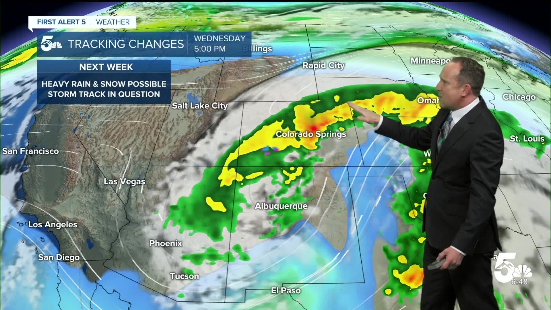
Moisture increases from Monday night into the mid-week period as our next storm moves into Nevada. A cold front arrives early Tuesday morning, which will cool temperatures back down to the 60s by next Tuesday and Wednesday, and allow for better chances for rain. Although it's still pretty far out, there's the potential for beneficial moisture from next week's storm, but this will depend greatly on storm track and intensity. Stay tuned.
____
Curious about the First Alert 5 Weather Storm Impact Scale? Check out our cheatsheet explainer.
Watch KOAA News5 on your time, anytime with our free streaming app available for your Roku, FireTV, AppleTV and Android TV. Just search KOAA News5, download and start watching.
