

Today’s Forecast:
A ridge of high pressure will lead to a break between systems today, with mainly clear skies and lighter wind across Southern Colorado. Yesterday's storm system broke the daily rainfall record for March 3rd, with 0.74" of rain recorded at the Colorado Springs Airport. The previous record was 0.34", set all the way back in 1899. The Pueblo Memorial Airport also set a daily record. You can expect snow covered roads and sidewalks this morning in Woodland Park and Monument. Also be prepared for patchy fog in the next couple of hours. It should clear fairly quickly as high pressure builds in.
Highs today will be above average and warmer than yesterday, topping out in the 50s and 60s.
Colorado Springs forecast: High: 60; Low: 33. Sunshine will return on Wednesday, drying skies out after record breaking rainfall on Tuesday at the Colorado Springs Airport. Tuesday's storm also brought a light dusting of snow to parts of Colorado Springs.
Pueblo forecast: High: 65; Low: 30. Mild and sunny weather will return on Wednesday after also setting a new record yesterday with 0.73" of rain captured at the Pueblo Memorial Airport. Highs will be in the middle 60s today, with our average high for this time of the year in the upper 50s.
Canon City forecast: High: 64; Low: 35. Sunshine will prevail on Wednesday, replacing yesterday's wet and soggy weather. Light westerly winds this morning will turn southeasterly this afternoon, with gusts expected to stay under 20 mph.
Woodland Park forecast: High: 53; Low: 27. Be careful when you head out the door this morning, with snowy side streets, parking lots and sidewalks. Once the sun comes out, a quick warm-up to the 50s will allow for the snow to melt away just as fast. Overall, it should be a beautiful Wednesday in Teller County.
Tri-Lakes forecast: High: 50s; Low: 30s. Roads may be slick and icy in some spots as you get out the door early Wednesday morning. Sunshine aplenty this afternoon will bring a beautiful day to the Tri-Lakes areas, with highs today climbing into the middle to upper 50s.
Plains forecast: High: 60s; Low: 20s/30s. Wednesday's weather will give us a break from the wind and a chance to dry out. Overall, it will be a beautiful day, with sunshine, light breezes and warmer than average temperatures.
Walsenburg and Trinidad forecast: High: 60s; Low: 30s. Much like what we'll see on the eastern Plains, today's forecast will give us a break from the wind and active weather that's expected to return late this week. Enjoy!
Mountains forecast: High: 40s/50s; Low: 20s. Moderately gusty wind in the mountains today will increase this evening, with peak gusts after sunset around 30-40 mph. Dry skies are expected for the next 24 hours.
Extended outlook forecast:
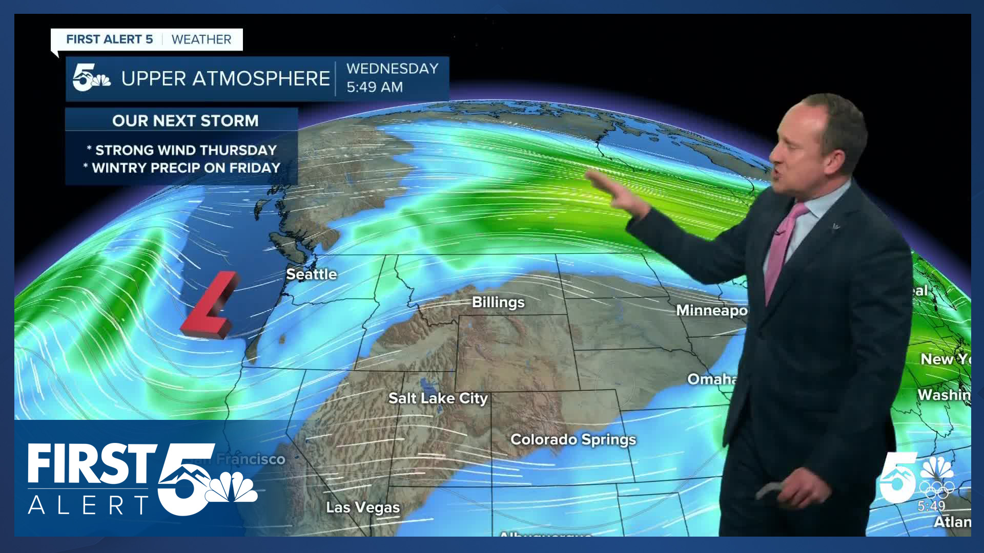
We're back to active weather on Thursday with significant downslope wind returning, and fire danger increasing. An upper level low will be pivoting through the Great Basin, increasing wind speeds ahead of it in the middle levels of the atmosphere. Fire Weather Watches are in place Thursday for all of Southern Colorado from 10:00 AM - 7:00 PM. Fire danger will be critical across the southeastern plains, and will be elevated to high in the Pikes Peak Region and Pueblo County. This is despite yesterday's rain for two reasons. First, the winds will be fairly strong. Second, the vast majority of fires at this time of year occur in flashy fuels that can dry out within hours of being exposed to very dry air and gusty wind. Still, the recent rainfall is better for fire prevention than if we had not just picked up significant rainfall.
The downslope wind will warm highs into the 60s and 70s on Thursday. Expect southwesterly winds at 10-20 mph, gusting to 35 mph within the Pikes Peak Region, with stronger gusts in the southern mountains and southeast plains.
On Friday, we'll track our next incoming system. While it's another fairly warm storm — there's still slightly more cold air with it, which will lead to a rain to snow set up in Southern Colorado. You can expect a trace-2" of snow in the Pikes Peak Region with this storm, with 2-5" possible in Monument and Woodland Park. Precipitation comes to an end Friday night.
Clearing skies this weekend with chilly temps Saturday giving way to a Sunday warm-up. Remember Daylight Saving Time begins Sunday — and clocks will "spring forward" by an hour.
Quiet weather continues early next week, ahead of the next potential system between Tuesday and Wednesday.
____
Curious about the First Alert 5 Weather Storm Impact Scale? Check out our cheatsheet explainer.
Watch KOAA News5 on your time, anytime with our free streaming app available for your Roku, FireTV, AppleTV and Android TV. Just search KOAA News5, download and start watching.
