


Tonight's Forecast:
After the hottest day of the year so far, it's going to take some time to see some relief tonight across Southern Colorado. Evening temperatures will be warm as we're not likely to cool down too much until well after midnight. By Sunday morning, overnight lows across the Plains will only drop down to the lower to middle 60s.
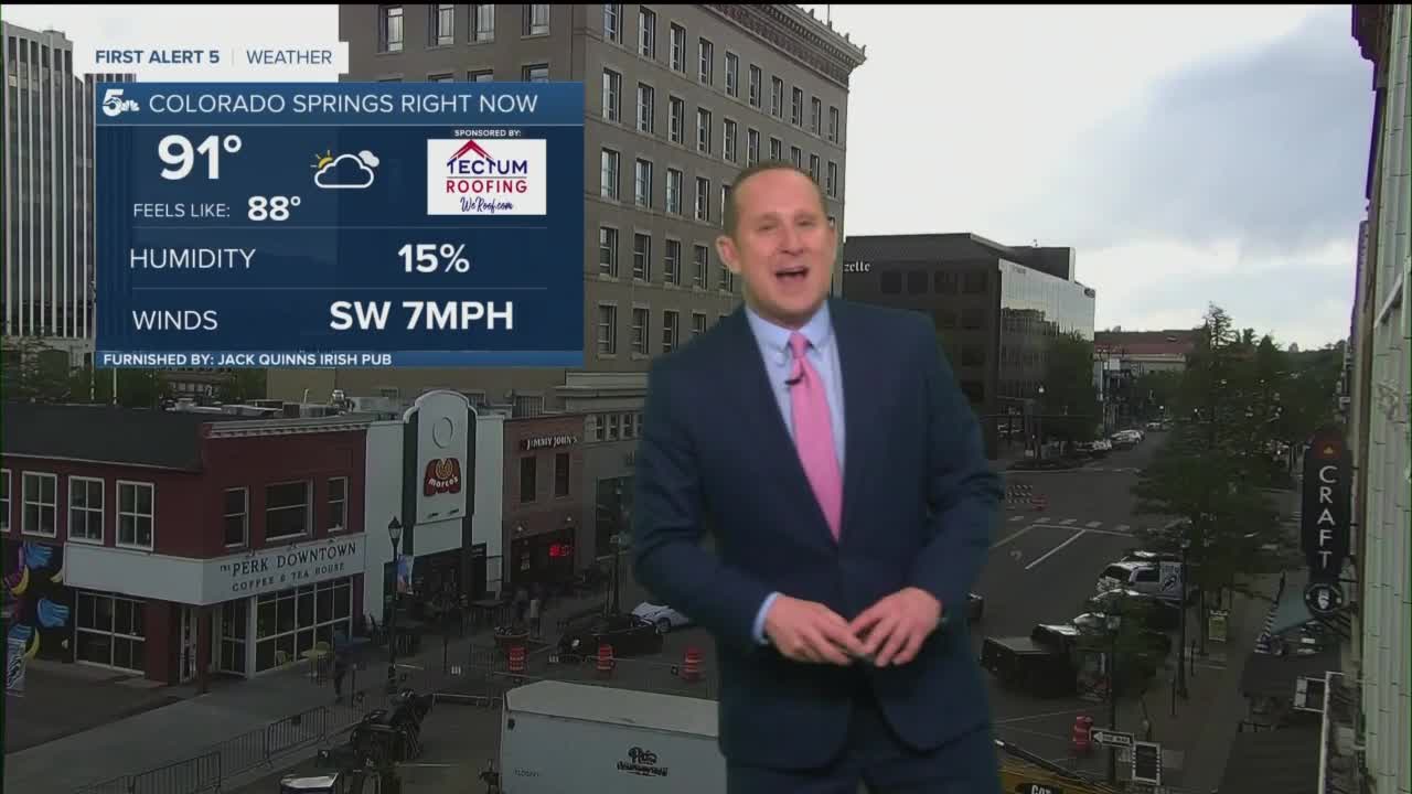
Colorado Springs forecast: Low: 62; High: 95; Another super hot day across the Pikes Peak Region on Sunday, and with a lower benchmark for the daily record at the Colorado Springs Airport, it's likely that we set a new record in town. Current record: 94° (1956).
Pueblo forecast: Low: 63; High: 101; After our first triple digit day of the year on Saturday, we're likely to do it again on Sunday, with the forecast calling for a high of 101°. We could get pretty close to a record as well at the Pueblo Airport. Current record: 104° (1981).
Canon City forecast: Low: 65; High: 98; Sunburn sunshine will continue as heat remains the big story on Sunday. A breezy west wind of 10-15 mph might provide some relief in the shade, but otherwise, make sure to stay hydrated when spending time outside.
Woodland Park forecast: Low: 53; High: 83; Warm on Sunday, with a small chance of an isolated shower or thunderstorm by the afternoon. Since the lower levels will be fairly dry, gusty outflow winds from any developing storms may be more prevalent that any beneficial rainfall tomorrow.
Tri-Lakes forecast: Low: 50s/60s; High: 80s/90s; Much like what we saw today, Sunday will be mostly sunny and hot across the Palmer Divide. While rain chances aren't completely zero, we can't rule out the possibility of a passing afternoon shower or thunderstorm.
Plains forecast: Low: 60s; High: 90s/100s; Sizzling heat during the day, with the potential for a few isolated shower or thunderstorm Sunday evening across the Plains. For the far eastern counties, some of these storms could turn severe.
Walsenburg and Trinidad forecast: Low: 50s/60s; High: 90s; A mix of sun and clouds on Sunday, and more sizzling heat, with highs expected to climb well into the 90s.
Mountains forecast: Low: 40s/50s; High: 70s; Red Flag Warnings will go into effect for the southeastern mountains and mountain valleys at 11 am, and continue until 8 pm. A weak disturbance could trigger an isolated shower or thunderstorm Sunday afternoon, but with dry air in place, impacts will not be very widespread.
Extended outlook forecast:
An approaching trough of low pressure to our west will set the stage for a windy and hot day on Monday, with more potential Red Flag Warnings across parts of Southern Colorado. While the bulk of the storm will pass us by to our north, a cold front is expected to reach Southern Colorado on Tuesday. This frontal boundary will drop highs by 8-12 degrees for the middle of the week before warming back up as we head towards next weekend.
____
Curious about the First Alert 5 Weather Storm Impact Scale? Check out our cheatsheet explainer.
Watch KOAA News5 on your time, anytime with our free streaming app available for your Roku, FireTV, AppleTV and Android TV. Just search KOAA News5, download and start watching.
