



Today’s Forecast:
Friday will be a transition day to a calmer and warm weather pattern for the start of October. With low level moisture in place this morning after our latest storm, we have areas of dense fog that have filled in from the Pikes Peak Region to portions of the High Plains. The low clouds and fog should clear out between 9 am and noon, leaving us with sunshine for the back half of the day. Highs today will be a few degrees warmer than yesterday, but still below average for this time of the year.
While we aren't expecting any rain or snow today in Southern Colorado, we will see a breezy to gusty afternoon. Peak southerly wind gusts today will range between 20-30 mph, with some stronger gusts east of I-25.
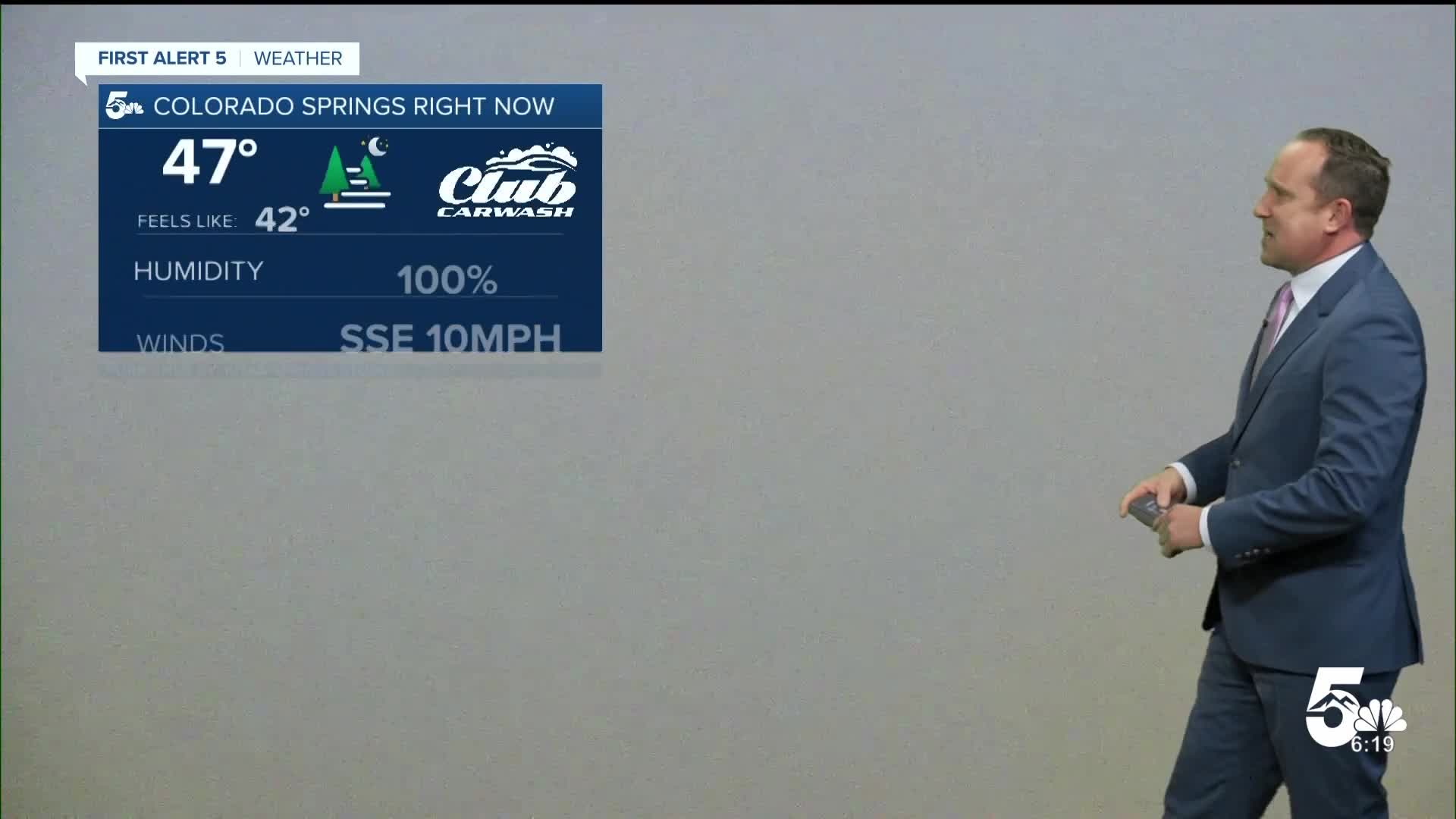
Colorado Springs forecast: High: 68; Low: 47. Areas of dense fog this morning will give way to a bright, breezy and mild afternoon. Highs today will be warmer than yesterday, but still a few degrees shy of our average high of 71 degrees.
Pueblo forecast: High: 71; Low: 46. Patchy clouds and fog Friday morning will turn to sunshine and breezy south winds this afternoon, with peak gusts around 20-25 mph.
Canon City forecast: High: 71; Low: 49. Patchy clouds this morning will give way to sunny skies and some very comfortable temperatures this afternoon in the lower 70s.
Woodland Park forecast: High: 65; Low: 42. Clear skies and some chilly, fall-like vibes this morning will give way to a bright and beautiful afternoon. Highs today will climb into the middle 60s.
Tri-Lakes forecast: High: 60s; Low: 40s. Overcast and foggy skies this morning will turn to sunshine and mild temperatures this afternoon. While skies will be dry for the next 12-24 hours, it will be gusty today, with southerly wind gusts around 25-35 mph.
Plains forecast: High: 60s/70s; Low: 40s. Patchy low clouds and fog will give way to sunshine into the afternoon, along with breezy south winds and highs in the upper 60s and lower 70s. Breezy south winds this afternoon will gust to around 25-35 mph.
Walsenburg and Trinidad forecast: High: 60s/70s; Low: 40s. After a wet and rainy couple of days, our weather will be much calmer and much brighter as we close out the week with sunshine and mild highs on the southern I-25 corridor.
Mountains forecast: High: 40s/50s/60s; Low: 30s/40s. After rain and high elevation snow earlier this week, Friday's forecast in the high country will be absolutely beautiful. With light winds and sunshine, highs today will top out in the
Extended outlook forecast:
In the extended period, high pressure to our southwest this weekend will keep the storm track well north of Colorado. Saturday will be the warmest day of the weekend, with a high of around 80 degrees in Colorado Springs.
A weak cold front will drop highs by around 10 degrees on Sunday, with lower 70s and breezy southerly winds by the afternoon. Temperatures will rebound back into the 80s on Monday and Tuesday, with just a slight chance of a shower or thunderstorm by Tuesday afternoon.
____
Curious about the First Alert 5 Weather Storm Impact Scale? Check out our cheatsheet explainer.
Watch KOAA News5 on your time, anytime with our free streaming app available for your Roku, FireTV, AppleTV and Android TV. Just search KOAA News5, download and start watching.
