

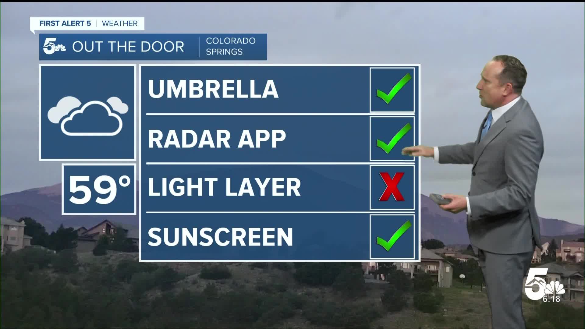


Today’s Forecast:
We're seeing a push of monsoonal moisture this morning, resulting in patchy drizzle and showers across Southern Colorado. These showers should wrap up by 9-10 am, leaving us with some sun breaks by late this morning.
As drier air spreads into western Colorado this afternoon, showers and thunderstorms will be much more limited in coverage compared to what we've seen the past 2-3 days. Still though, with some recycled moisture sticking around and today's warm temperatures, a few isolated thunderstorms will be possible region-wide, although better chances for rain will be on the Plains and areas south of Highway 50.
Colorado Springs forecast: High: 85; Low: 56. Patchy morning drizzle will give way to a few spotty thunderstorms this afternoon and a slightly warmer day in the mid 80s in the Pikes Peak Region.
Pueblo forecast: High: 90; Low: 59. Early this morning, we've already seen some drizzle and showers. These showers should clear out by mid to late morning with some additional thunderstorms possible towards the mid to late afternoon hours.
Canon City forecast: High: 88; Low: 62. As monsoonal moisture moves east, skies will be less stormy than the past few days, with only a few spotty showers or thunderstorms this afternoon.
Woodland Park forecast: High: 77; Low: 50. Lingering moisture will allow for a small chance of afternoon showers and thunderstorms in Teller County today. Storms on Tuesday are not expected to reach severe levels.
Tri-Lakes forecast: High: 70s/80s; Low: 50s. Overcast skies this morning will give way to some sun breaks towards the lunch hour ahead of a small chance of thunderstorms this afternoon. Keep an eye on the sky today anytime after 2 pm along the Palmer Divide.
Plains forecast: High: 90s; Low: 60s. Areas of drizzle and light rain this morning will give way to the potential for scattered showers and thunderstorms this afternoon. A few storms south of Highway 50 could include pea to penny sized hail and strong winds.
Walsenburg and Trinidad forecast: High: 80s; Low: 50s. Skies will turn stormy towards the mid afternoon hours, with a chance for thunderstorms. While severe weather is not expected today, storms could still include hail, gusty winds, and frequent lightning.
Mountains forecast: High: 60s/70s; Low: 40s/50s. Today should be our last day for storms until the end of the week. Storms today should not pose a big risk of flooding in the Aspen Acres burn scar.
Extended outlook forecast:
Drier air will punch into the Pikes Peak Region and Southern Colorado starting on Wednesday. This will allow for a return to well above average highs for the rest of the week. Temperatures will climb into the upper 80s by Wednesday, and the lower 90s from Thursday through Saturday. Daily temperatures for Pueblo and Canon City will be in the 90s.
Skies will remain dry during this time in the lower elevations, but for the mountains, storms could return as early as Friday. In Colorado Springs, I've added a chance for afternoon thunderstorms to our forecast for both Sunday and Monday.
____
Curious about the First Alert 5 Weather Storm Impact Scale? Check out our cheatsheet explainer.
Watch KOAA News5 on your time, anytime with our free streaming app available for your Roku, FireTV, AppleTV and Android TV. Just search KOAA News5, download and start watching.
