

Today’s Forecast:
Following a weak clipper system on Tuesday, Wednesday will be seasonably cool across Southern Colorado. As expected, around 0.5-1.5" of snow fell up in Monument due to the upslope flow. Higher amounts of 3-4" were reported about 10 miles north of Falcon. This morning, drivers in these areas can expect slick conditions on secondary roads in the Tri Lakes area and Black Forest, as well as Teller County. This snow should quickly melt after sunrise.
Temperatures begin the day in the 10s and 20s, and climb to the 40s and 50s with mostly sunny skies this afternoon. A broad ridge of high pressure - the big blue H - is building back over the state, and that will keep skies clear tonight.
Colorado Springs forecast: High: 47; Low: 28. A light dusting of snow fell last night in Colorado Springs, with accumulations of around 0.5-1.5" in northern El Paso County. Some of our neighborhood streets could be snowy and/or icy this morning, but whatever is on the ground now should melt quickly once the sun comes out.
Pueblo forecast: High: 52; Low: 24. Sunshine will warm us into the lower 50s today, a cool down of around 5 degrees from what we saw on Tuesday.
Canon City forecast: High: 52; Low: 31. Sunshine and cooler temperatures can be expected on Wednesday, with highs this afternoon near to slightly above seasonal averages.
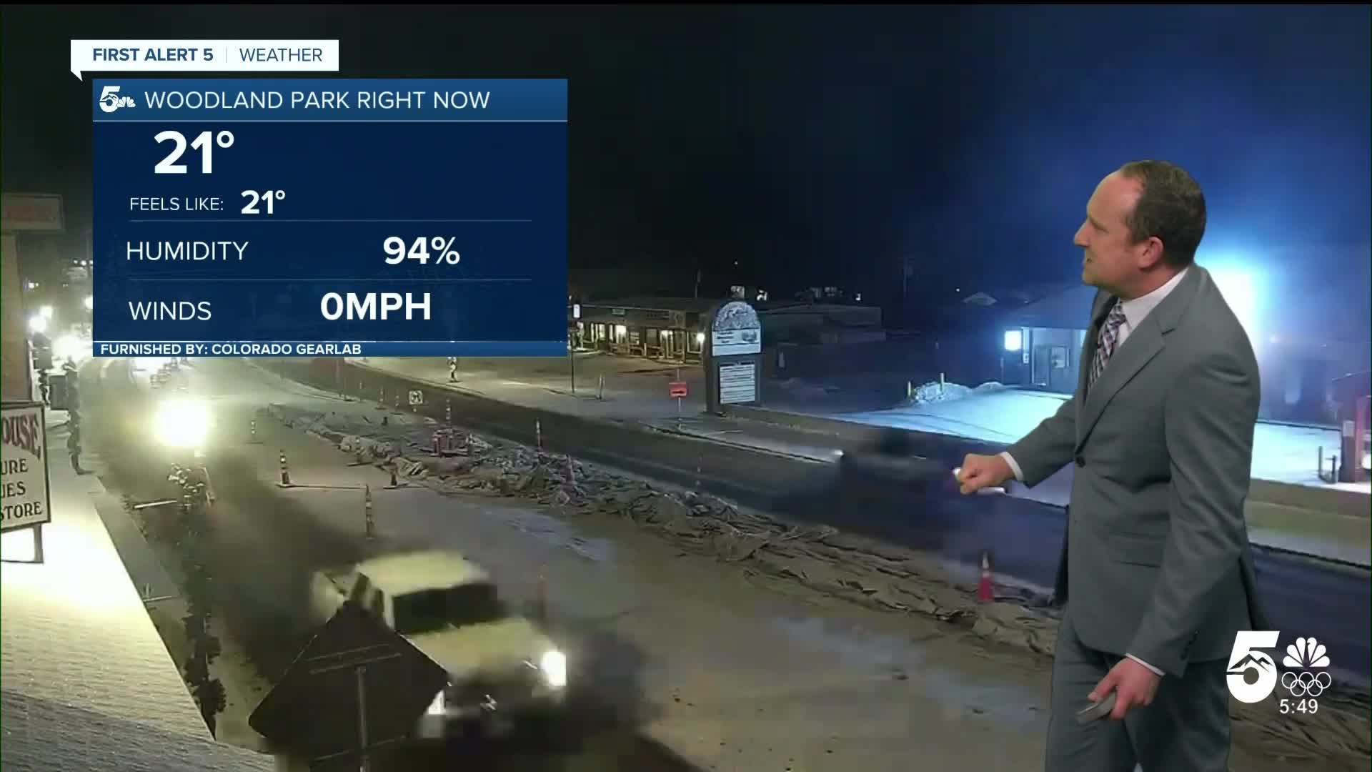
Woodland Park forecast: High: 40; Low: 25. After around 1" of snow fell in Teller County last night, unplowed roads have been a little icy this morning. Sunshine this afternoon and above freezing highs should take care of that as our high today looks to top out near 40 degrees.
Tri-Lakes forecast: High: 40s; Low: 20s. Now that the sun is out, last night's light accumulations will melt away pretty quickly and roads will improve. Highs today will warm into the 40s before rebounding to the 50s tomorrow.
Plains forecast: High: 40s/50s; Low: 20s. Sunshine will prevail on Wednesday, with highs taking a dip from what we've seen so far this week. Northwest winds will be breezy today, sustained around 10-15 mph, with some gusts to 20 mph.
Walsenburg and Trinidad forecast: High: 40s; Low: 20s/30s. After some rain and snow showers last night, Wednesday's forecast will turn bright and sunny, with highs this afternoon expected to warm into the upper 40s .
Mountains forecast: High: 30s/40s; Low: 20s. Sunshine and breezy north winds will follow yesterday's "storm". This system didn't bring much snow to the southeastern mountains, a part of the state that could really use it! Today will be dry, with our next chance for snow not until next week, although a few flurries may come on Saturday.
Extended outlook forecast:
High pressure remains in control of the weather pattern for the next several days. This will bring well above average temperatures back to Colorado. In Colorado Springs, we'll reach the 60s Thursday, Friday, and Saturday. Some areas on the eastern Plains could surpass the 70 degree mark during the warm-up.
It will be breezy at times, with the potential for elevated fire danger on Saturday.
In the extended period, there are signals for more unsettled weather and a significant shift in the weather pattern by Tuesday. Right now, our best chances for snow on Tuesday will be in the mountains.
Between the middle and end of February, favorable changes in major weather patterns suggest that we may break the dry and warm cycle that we've been in much of the winter season. Stay tuned...
____
Curious about the First Alert 5 Weather Storm Impact Scale? Check out our cheatsheet explainer.
Watch KOAA News5 on your time, anytime with our free streaming app available for your Roku, FireTV, AppleTV and Android TV. Just search KOAA News5, download and start watching.
