


Tonight's Forecast:
A quick moving storm will bring snow to the mountains of Colorado tonight and early Monday. There's not much moisture to work with, and as the storm moves east, snow is not as likely for this storm for the Plains and I-25 corridor. Instead, these areas can expect to see gusty winds from late tonight into the day on Monday, with northerly wind gusts of 30-40 mph.
Colorado Springs forecast: Low: 31; High: 52; An overnight cold front will drop highs on Monday by more than 10 degrees. A few flurries may fall into early Monday morning across the Palmer Divide, but the main story will be the wind, with peak gusts of 30-40 mph.
Pueblo forecast: Low: 33; High: 59; A nice cooling trend on Monday, with highs much closer to average for this time of the year versus what we saw this past weekend.
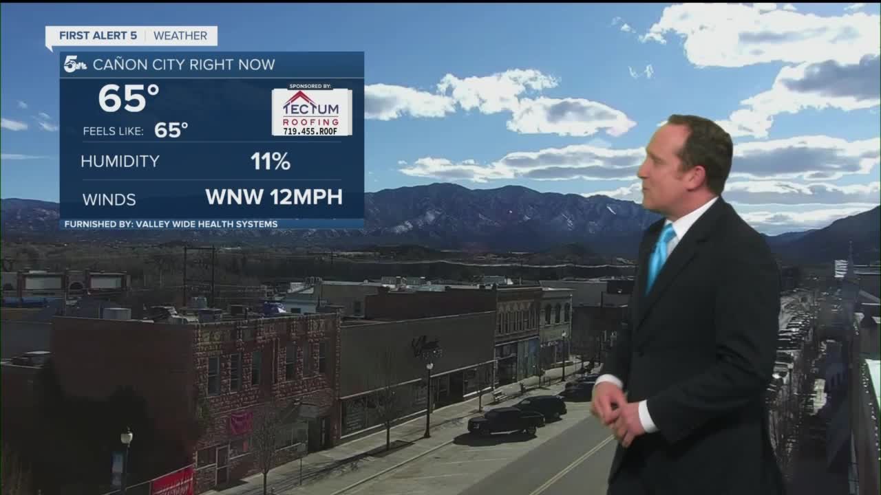
Canon City forecast: Low: 35; High: 55; A windy and cooler start to the day Monday will be followed by a roller coaster ride of temperatures for the work week ahead.
Woodland Park forecast: Low: 20; High: 43; An isolated snow shower or flurry will be possible into early Monday morning. Otherwise, we're looking at a windy and cooler start to the week for Teller County.
Tri-Lakes forecast: Low: 20s; High: 40s/50s; A sprinkle or light snow shower will be possible during the overnight hours, with little to no accumulation. Behind the cold front, we'll see a cooler and windier day on Monday, with gusts to 35 mph.
Plains forecast: Low: 30s; High: 50s; A late night cold front will bring strong wind gusts to the Plains later tonight, and the potential for some light drizzle into Monday morning. The rest of our day tomorrow will be blustery and cooler, with highs only warming into the middle to upper 50s.
Walsenburg and Trinidad forecast: Low: 20s; High: 40s/50s; A strong cold front will bring gusty winds to the southern I-25 corridor late tonight and Monday, along with the potential for a few isolated rain/or snow showers. Behind the front, highs Monday will be more than 10 degrees cooler.
Mountains forecast: Low: 10s/20s; High: 30s; Windy, with areas of snow and blowing snow for the mountains late tonight and early Monday. Most of the heavier snow will fall along and north of the Cottonwood Pass. Snowfall totals for our local mountains will range from a trace to 2".
Extended outlook forecast:
Temperatures will rebound on Tuesday as southwesterly winds also ramp up the fire weather risk for the Plains. Our next storm will bring some big changes to our forecast around the middle of the work week. Snow will begin to pile up over the mountains on Wednesday before pushing into the Plains Wednesday night. Because of the warmer air associated with the storm, snow levels will start out near 7,000 feet before lowering to 5,000 feet by Thursday morning. Whether you see rain or snow (or both), the storm looks pretty wet either way, with some beneficial moisture expected for our part of the state.
After the snow wraps up on St. Patrick's Day, we'll see a transition back to a warmer and drier pattern heading into next weekend.
____
Curious about the First Alert 5 Weather Storm Impact Scale? Check out our cheatsheet explainer.
Watch KOAA News5 on your time, anytime with our free streaming app available for your Roku, FireTV, AppleTV and Android TV. Just search KOAA News5, download and start watching.
