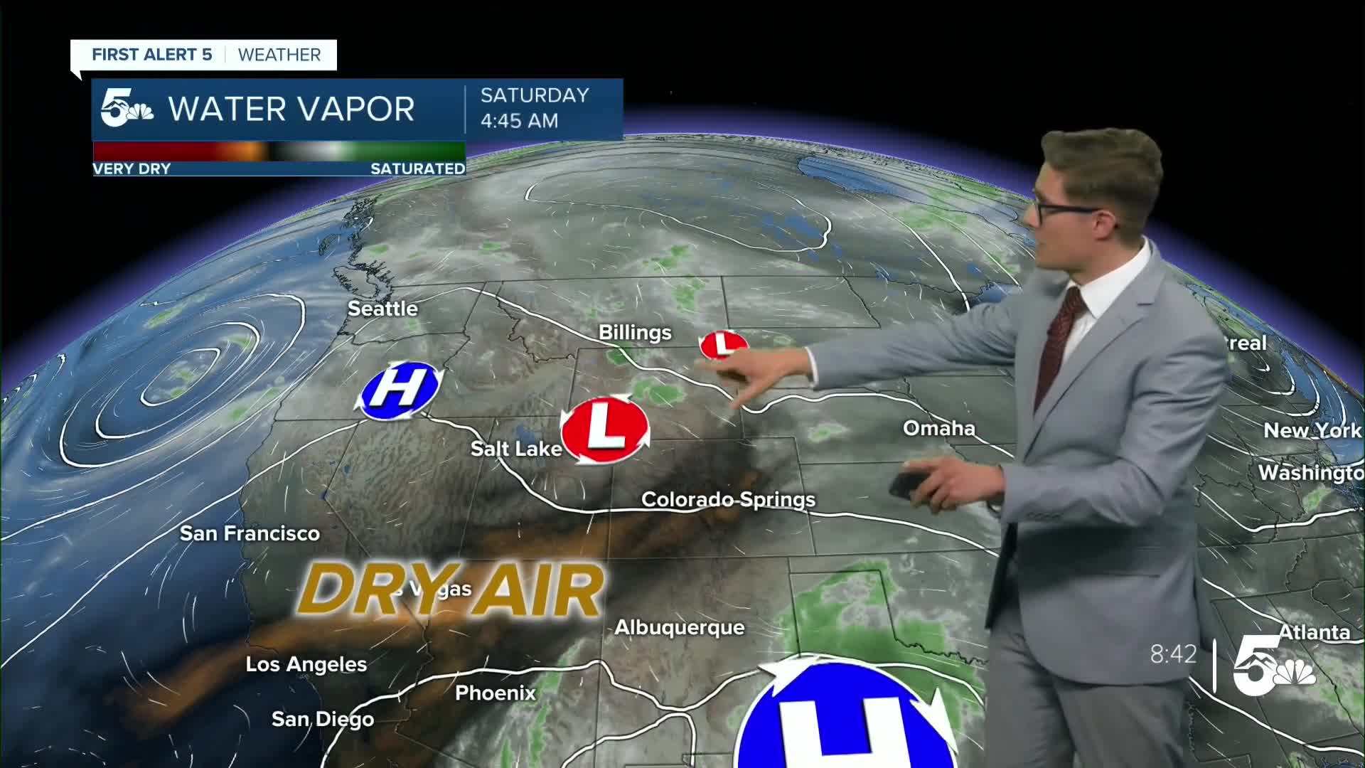
Today’s Forecast:
We've arrived at the unofficial end of summer - but it's the official end of summer in the meteorology world! Meteorological summer runs from June 1st through August 31st. The big story in Colorado Springs today is the labor day liftoff. Balloons can't launch without 3-5 miles of visibility per FAA visual flight rule requirements, and wind speeds generally need to be under 10 miles per hour. As a result, the morning launch was canceled.
Wind gusts and speeds should decrease in mid-morning, which may factor into a separate planned skydiving event at the liftoff.
Meanwhile - over 2 inches of rain has fallen in almost all of El Paso County, Teller County, and a notable chunk of Pueblo county in the past week, so the ground is very wet. I'd strongly suggest bringing waterproof shoes or boots with you if you're getting outside today - expect pockets of mud on our regional trails. Overall, the morning will still be generally dry and pleasant.
A passing upper disturbance - our last in a long line of them - will move through in the afternoon. Coupled with sufficient moisture, storms will be relatively widespread again today: coverage will be similar to yesterday, but severe threats will be much lower. Heavy rain is possible with storms leading to an isolated flash flood potential. Otherwise, storm threats include lightning, gusty wind, and small hail.
Colorado Springs forecast: High: 74; Low: 49.
Partly cloudy this morning with light but noticeable breezes, mainly along and east of I-25 in the 10-20 mph range associated with a very weak passing frontal feature. Scattered thunderstorms this afternoon with a couple heavy thunderstorms possible. Any heavy storm today could produce flash flooding given the recent rainfall we've seen, this concern looks isolated but it's good to be aware of. Severe threats are lower today with lightning, small hail, and gusty wind the main concerns with storms.
Pueblo forecast: High: 80; Low: 54.
Generally mostly sunny this morning with a few periods of mid-level patchy clouds. Scattered thunderstorms this afternoon with north winds at 10-15 mph. Storms today have a lower severe potential, but gusty winds remain possible. North winds at 10-15 mph.
Canon City forecast: High: 77; Low: 56.
Mostly sunny this morning, partly cloudy this afternoon. Scattered thunderstorms this afternoon but the pattern is beginning to dry out. Storms are most likely in the early to middle afternoon. Easterly winds at 5-10 mph, mainly this afternoon.
Woodland Park forecast: High: 65; Low: 40.
Partly cloudy this morning with increasing clouds by 11 AM. Widespread thunderstorms (again) today, and I expect several parts of Teller County to see 2-3 rounds of showers and storms, with north winds at 5-15 mph. There's still going to be at least 12 dry hours for you today though. The good news: drier air will drop your storm odds tomorrow.
Tri-Lakes forecast: High: Low 70s; Low: 40s.
Patchy morning clouds, becoming briefly mostly sunny in the late morning, then becoming partly cloudy this afternoon. Scattered afternoon thunderstorms, with winds at 10-15 mph from the north.
Plains forecast: High: 70s/80s; Low: 50s.
Partly cloudy all day, with isolated afternoon thunderstorms favoring late afternoon to early evening. Northeast winds at 10-15 mph.
Walsenburg and Trinidad forecast: High: 74/77; Low: 51/50.
Partly cloudy this morning, with scattered afternoon thunderstorms. Northeast winds at 5-10 mph.
Mountains forecast: High: 60s; Low: 30s/40s.
Mostly sunny becoming partly cloudy late in the morning. An isolated shower is possible by 11:00 AM, with more widespread showers and storms developing after noon. Easterly winds, mainly in the afternoon, at 5-10 mph.
Extended outlook forecast:
A drier and quieter pattern will move in for the rest of the Labor Day period. I don't foresee any weather issues for the Labor Day Liftoff's second day, at 7:00 AM. Sunday will be mostly sunny and pleasant in southern Colorado, with highs a few degrees warmer than today in the middle 70s to low 80s for the urban corridor and the plains, and upper 60s to low 70s in the high country. An isolated afternoon thunderstorm is still possible over the mountain tops and the Palmer Divide. I'd still pack waterproof shoes if you head to the Colorado State Fair - it will take awhile for the ground to dry out from the deluge of rain in the last week.
Labor Day will be seasonal, with mostly sunny to sunny skies across the area, and light winds - mother nature providing a beautiful day as we celebrate the contributions of the American workforce. Even the high mountains should remain mainly dry. Similar conditions continue Tuesday, but isolated mountain storm chances will return.
A cold front arrives on Wednesday, which will bring storm chances back for most of southern Colorado. It's worth noting this is a typical continental system - rather than sub-tropical monsoonal moisture. Therefore, storms should be more isolated and won't last as long as those we've seen this past week. Residual moisture has the potential to fuel a couple more storms Thursday. Heading into September, we lose the influence of the monsoon and on average it's a much drier month than August.
____
Curious about the First Alert 5 Weather Storm Impact Scale? Check out our cheatsheet explainer.
Watch KOAA News5 on your time, anytime with our free streaming app available for your Roku, FireTV, AppleTV and Android TV. Just search KOAA News5, download and start watching.


