



Today’s Forecast:
A FLOOD WATCH will remain in effect until noon Thursday, and includes the Arkansas River Valley, Aspen Acres burn scar, southeastern mountains, and southeastern Plains. On the Plains, this is where we expect to see the heaviest rain for the next few hours, with rain ending from west to east this afternoon. In the Pikes Peak Region, all FLOOD WATCHES have been allowed to expire early, and any chances for additional rain today will be low and light.
It has also been windy this morning on the eastern Plains, with gusts in some areas up over 40-50 mph. As the storm moves east, the weather will improve. Region-wide, we will see skies turning partly cloudy this afternoon, and highs will be around 5-10°F warmer than yesterday.
Colorado Springs forecast: High: 65; Low: 43. We're already turning the corner in the Pikes Peak Region this morning, and by the afternoon, we should see some blue sky as highs climb into the middle 60s. Tonight will be our coldest night of the season, with lows in the lower 40s.
Pueblo forecast: High: 68; Low: 45. A few lingering and breezy showers this morning will give way to a partly cloudy and mild afternoon. As the storm pulls away from Colorado tonight, it will be chilly, with overnight lows in the middle 40s.
Canon City forecast: High: 67; Low: 46. A few showers will be possible this morning, but as the storm pulls away this afternoon, skies will clear out and temperatures will warm into the upper 60s.
Woodland Park forecast: High: 57; Low: 37. October will be begin chilly, with temperatures this afternoon in the upper 50s and lows this evening falling into the upper 30s.
Tri-Lakes forecast: High: 50s/60s; Low: 30s/40s. We're pretty much done with the rain for today in northern El Paso County, with the best chance for rain this morning east of I-25. The rest of our Thursday will be dry and turning bright, with highs in the upper 50s and lower 60s.
Plains forecast: High: 60s; Low: 40s. Heavy rain will continue to batter the eastern Plains until late this morning, with showers ending from west to east this afternoon. FLOOD WATCHES will remain in effect here until noon. It's also been very windy this morning, with gusts early today in the 40-50 mph range.
Walsenburg and Trinidad forecast: High: 50s/60s; Low: 40s. Windy, with rain showers this morning. The rain should come to an end towards the lunch hour as this week's storm finally pulls away from Southern Colorado.
Mountains forecast: High: 40s/50s; Low: 30s. Rain and high elevation snow will continue in the southeastern mountains until late this morning or early this afternoon, with a FLOOD WATCH in effect until noon. Snow levels this morning will hover around 11,000 feet.
Extended outlook forecast:
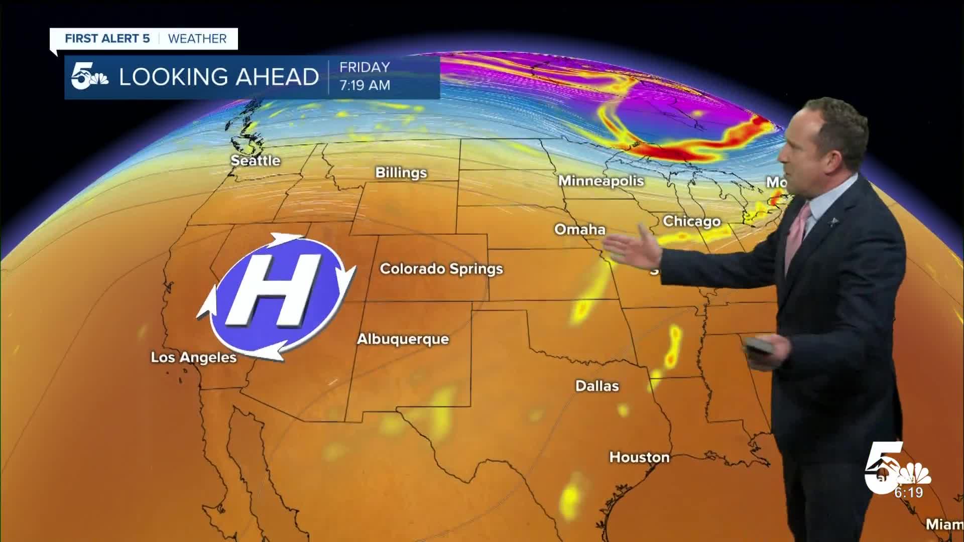
Friday will be a transition day to much warmer weather that follows this weekend and early next week. Highs on Friday will rebound into the upper 60s in Colorado Springs, which will still be below the average high of 71°F. It will also be breezy on Friday, with southerly wind gusts around 20-25 mph.
Saturday will be much warmer, with our high expected to climb to near 80°F. A weak cool front late Saturday will drop highs down a few degrees to the lower 70s on Sunday.
Looking ahead to next week...we're expecting mainly dry skies and highs in the 70s, with just a slight chance of a shower or thunderstorm on Tuesday.
____
Curious about the First Alert 5 Weather Storm Impact Scale? Check out our cheatsheet explainer.
Watch KOAA News5 on your time, anytime with our free streaming app available for your Roku, FireTV, AppleTV and Android TV. Just search KOAA News5, download and start watching.
