

Today’s Forecast:
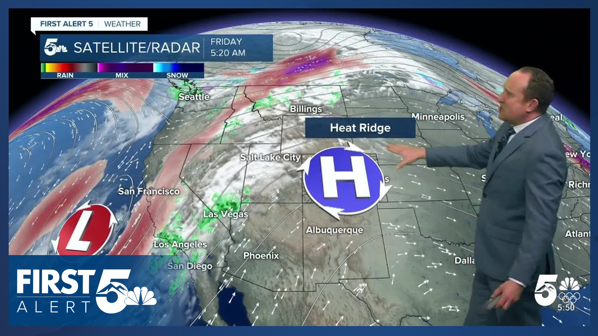
Weak westerly flow has resulted in another mild morning, with some parts of Southern Colorado waking up to temperatures in the 50s. The coldest air this morning can be found in the San Luis Valley and on the eastern Plains.
This afternoon's forecast will be another warm and dry one as temperatures continue to climb another degree or two from what we saw back on Thursday. Afternoon highs on the Plains may top 80 degrees in some areas! In Colorado Springs and Pueblo, our forecast today for each city comes within 3 degrees of a record high.
Colorado Springs forecast: High: 74; Low: 43. What's already been a very warm week will end even warmer, with our high today expected to come pretty close to today's record high of 77 degrees at the Colorado Springs Airport.
Pueblo forecast: High: 79; Low: 39. Flirting with 80! Pueblo's high in the upper 70s looks to almost threaten the current record of 82 degrees, last set in 1990.
Canon City forecast: High: 76; Low: 45. September or November? Our weather this week has been very warm, and today's high may climb another couple of degrees, topping out in the middle 70s.
Woodland Park forecast: High: 64; Low: 37. Friday will bring us mild highs, and a delightful mix of sun and clouds. No snow for at least next 12-24 hours for Teller County.
Tri-Lakes forecast: High: 60s/70s; Low: 30s/40s. If it's snow you want, you may not like today's forecast. If it's warm weather you crave, make sure to get outdoors today and enjoy it!
Plains forecast: High: 70s/80s; Low: 30s/40s. Dare I say hot?!? Today's temperatures on the Plains will be even warmer than yesterday, topping out in the 70s and lower 80s.
Walsenburg and Trinidad forecast: High: 70s; Low: 40s. The work week will end how it began, warm and dry. It has been breezy this morning in the usually gap flow regions of Huerfano County, with gusts throughout the day as strong as 30 mph.
Mountains forecast: High: 50s; Low: 30s. Our snow shortage will continue in the mountains, but only for a few more days! This weekend will start out dry before much needed moisture hits the high country on Sunday.
Extended outlook forecast:
As high pressure slowly moves east and low pressure moves onshore in California this weekend, we'll see a transition to a more unsettled pattern, but it will take some time. Initially, Saturday will be warm and dry, but a few degrees cooler than today.
Sunday's highs will also drop another couple of degrees while remaining around 10-15 degrees above average. Snow will increase in the mountains throughout the day and in the Pikes Peak Region, we could see a few quick moving showers by Sunday evening.
Skies will dry out early next week ahead of a cold system mid-week storm that could bring parts of Southern Colorado the first snowflakes of the season.
____
Curious about the First Alert 5 Weather Storm Impact Scale? Check out our cheatsheet explainer.
Watch KOAA News5 on your time, anytime with our free streaming app available for your Roku, FireTV, AppleTV and Android TV. Just search KOAA News5, download and start watching.
