

Today’s Forecast:
A strong ridge of high pressure over the Great Basin will provide a boost to our highs today of around 3-5 degrees. This will allow for near average highs in the 80s and lower 90s, with mostly 70s for the mountain valleys and higher elevation areas. In the mountain zones, a few showers will be possible today as skies turn partly to mostly cloudy in these areas this afternoon.
Colorado Springs forecast: High: 84; Low: 55. After highs in the 70s the past two days, warmer highs today will allow for temperatures to return to the middle 80s in Colorado Springs.
Pueblo forecast: High: 89; Low: 58. Dry and warmer, with rain not likely on Tuesday as our high this afternoon climbs to near the 90 degree mark.
Canon City forecast: High: 87; Low: 60. After a couple of cooler days, highs in eastern Fremont County will return to the middle to upper 80s today, which is right around average for this time of the year.
Woodland Park forecast: High: 75; Low: 48. Temperatures will be around 3-5 degrees warmer than yesterday, with skies turning partly to mostly cloudy this afternoon. On Tuesday, we'll see around a 20% chance of rain across Teller County.
Tri-Lakes forecast: High: 70s/80s; Low: 50s. Sunshine and cool temperatures this morning will give way to warming highs this afternoon under partly cloudy skies. Highs today will be in the 70s and lower 80s, with highs around 6-10 degrees hotter tomorrow.
Plains forecast: High: 80s/90s; Low: 50s/60s. Highs in the 80s and lower 90s will be nice on Tuesday as it only gets hotter from here. Highs from Wednesday to Friday will warm into the 90s and 100s on the Plains.
Walsenburg and Trinidad forecast: High: 80s; Low: 50s. Dry skies today, with highs warming into the 80s. Widespread rain is not likely today through Thursday as the heat will be the big story late this week.
Mountains forecast: High: 60s/70s; Low: 40s. Sunshine this morning will give way to increasing clouds this afternoon in the mountains, with a few rain showers or thunderstorms possible for Pikes Peak, the Wet Mountains and Sangres today.
Extended outlook forecast:
As high pressure moves into the Rockies on Wednesday, temperatures will soar. Our high in Colorado Springs will hit 91 degrees on Wednesday, 94 degrees on Thursday, and 91 degrees on Friday. Highs in Pueblo late this week and the eastern Plains will warm into the 90s and 100s.
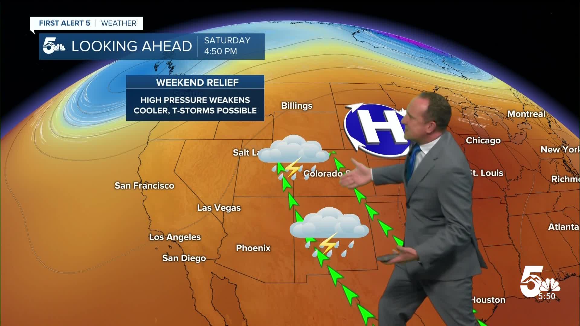
While Wednesday and Thursday are expected to be dry, an isolated afternoon thunderstorm will be possible for areas outside of the mountains by Friday afternoon. Highs will cool slightly into the upper 80s and 90s this weekend on the Plains, with isolated to scattered thunderstorms remaining in our forecast each afternoon.
____
Curious about the First Alert 5 Weather Storm Impact Scale? Check out our cheatsheet explainer.
Watch KOAA News5 on your time, anytime with our free streaming app available for your Roku, FireTV, AppleTV and Android TV. Just search KOAA News5, download and start watching.
