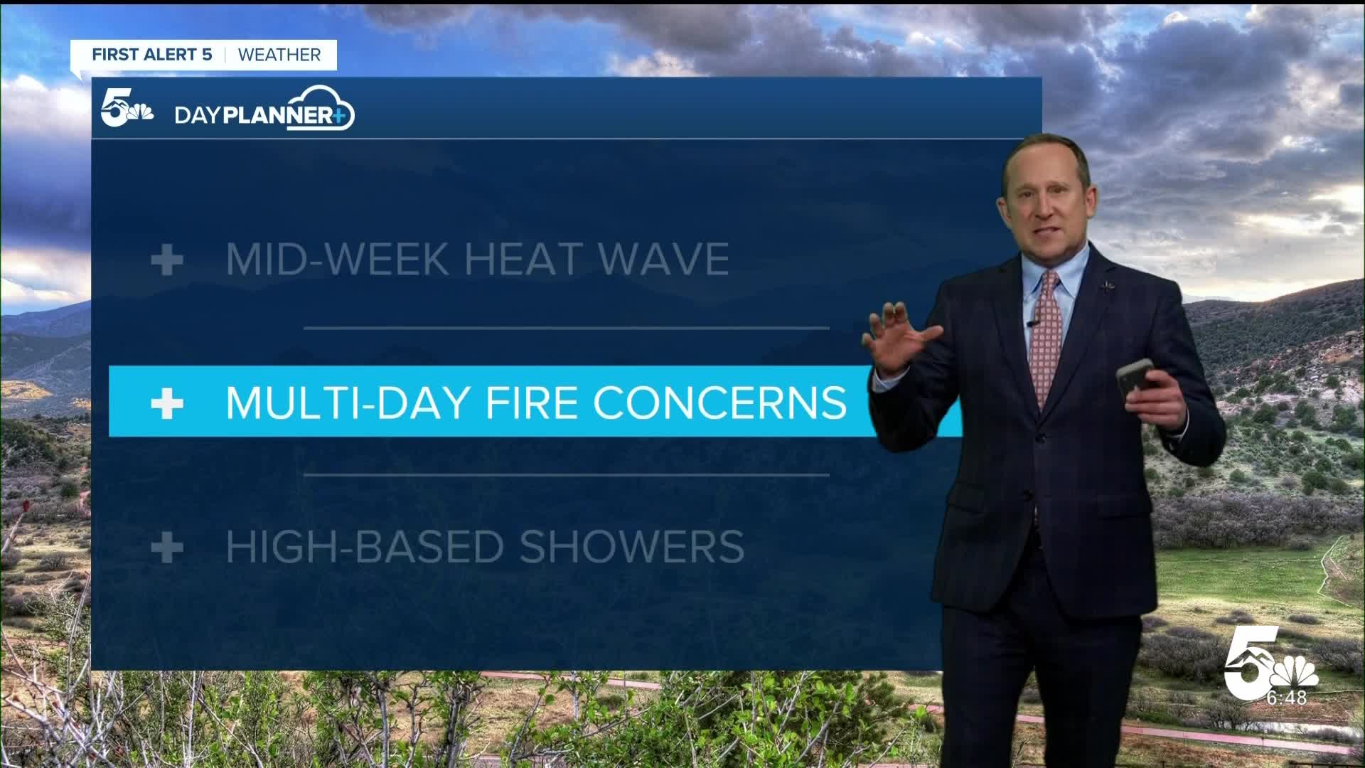


Today’s Forecast:
Tuesday will be hot and gusty across Southern Colorado! Highs will soar into the 90s and 100s on the Plains, with 70s and 80s in the mountain valleys and Teller County.
Although it's cloudy this morning in many areas, increasing downslope winds will lead to a dry and gusty afternoon. Peak gusts today will range between 30-45 mph, and many areas will be under a Red Flag Warning today from noon to 8 pm. Humidity during the afternoon hours will drop into the single digits. Outdoor burning should be avoided today as well as any activities that can create a spark.
High-based showers will add to the wind as they move east from the mountains into the Plains this afternoon. Today's dry air at the surface may make it tough for rain to reach the ground this afternoon, with the best chances for showers and thunderstorms over the eastern Plains.
Colorado Springs forecast: High: 90; Low: 56. Dry, hot and windy on Tuesday as highs could hit the 90 degree mark for only the second time this month. Storm clouds will move overhead into the afternoon, with only around a 10% chance of a shower.
Pueblo forecast: High: 97; Low: 59. Tuesday's forecast will feature warmer highs, and dry, windy weather conditions. A Red Flag Warning will remain in effect in Pueblo County from noon to 8 pm.
Canon City forecast: High: 94; Low: 59. Red Flag Warnings will also cover Fremont County on Tuesday, with peak gusts this afternoon up around 30-40 mph.
Woodland Park forecast: High: 80; Low: 49. Much like El Paso County, Teller County will not be included in today's Red Flag Warnings. That said, it will still be a windy and very warm afternoon, with peak gusts today to 45 mph.
Tri-Lakes forecast: High: 80s; Low: 50s. Tuesday's forecast will be very warm and windy, with mainly dry skies in our area in spite of some high-based showers that move off of the mountains in the afternoon. As these showers encounter drier air, rain will mostly evaporate before reaching the ground.
Plains forecast: High: 90s/100s; Low: 60s. We'll see heat and mainly dry skies on Tuesday, with a Red Flag Warning in effect for some counties from noon to 8 pm. High based showers that form over the mountains may bring a few thunderstorms to the eastern Plains by late this afternoon and this evening, with severe wind gusts to 60 mph the main risk.
Walsenburg and Trinidad forecast: High: 90s; Low: 50s/60s. Windy and mainly dry on Tuesday, with a Red Flag Warning in effect from noon to 8 pm. As high based showers move east towards I-25 this afternoon, a few showers will be possible.
Mountains forecast: High: 70s; Low: 40s. Windy and warm today in the mountains, with a chance of showers and thunderstorms this afternoon. Gusts today will range between 40-50 mph.
Extended outlook forecast:
Elevated to critical fire danger will continue on Wednesday across portions of Southern Colorado, but does not include El Paso and Teller counties. Wednesday's forecast in Colorado Springs will be hot, dry and gusty. Highs will climb into the lower 90s. Rain is not expected. Highs on the Plains could top 100 degrees in some areas.
Dry weather will remain throughout the remainder of the week and Thursday will feature a modest drop in temperatures to the lower 80s. Friday's highs will rebound to the upper 80s in Colorado Springs.
It will stay hot through Saturday, with a chance for thunderstorms by Saturday evening. Rain chances will be up around 40-50% both Sunday and Monday, with highs cooling down to the 70s in the Springs.
____
Curious about the First Alert 5 Weather Storm Impact Scale? Check out our cheatsheet explainer.
Watch KOAA News5 on your time, anytime with our free streaming app available for your Roku, FireTV, AppleTV and Android TV. Just search KOAA News5, download and start watching.
