



Today’s Forecast:
The North American monsoon will remain active again today over Arizona and Utah, with showers and thunderstorms also expected this afternoon in our state's mountains and valleys. Storms will be capable of heavy rain, localized flooding, frequent lighting and gusty winds.
On the Plains, we will continue to see hot and dry conditions on Friday. Highs will warm into the upper 80s and 90s, with breezy to gusty E/SE winds on tap this afternoon.
Colorado Springs forecast: High: 89; Low: 61. Temperatures may be a degree or two warmer than yesterday, with our weather trends pointing towards hotter 90s for Colorado Springs this weekend.
Pueblo forecast: High: 96; Low: 64. Our weather has changed very little over the past couple of days and will remain fairly persistent again today, with sunshine, breezy SE winds and hot highs in the middle 90s.
Canon City forecast: High: 93; Low: 63. Seasonably hot weather will continue on Friday, with dry skies and sunshine expected across eastern Fremont County.
Woodland Park forecast: High: 80; Low: 52. Much like yesterday, we'll be on the eastern periphery of today's monsoon fueled showers and thunderstorms. A few hit or miss storms will once again be possible today in Teller County, with the heavier storms expected to remain to our west.
Tri-Lakes forecast: High: 80s; Low: 50s. Another hot, summer-like day can be expected on Friday. Highs will warm into the middle to upper 80s, with SE winds this afternoon sustained around 10-15 mph.
Plains forecast: High: 90s; Low: 60s. Our weather will once again be on repeat, with a hot, dry and breezy afternoon ahead for the southeastern Plains of Colorado. If we do see a shower today, it would be in Las Animas County.
Walsenburg and Trinidad forecast: High: 80s; Low: 50s/60s. While rain is not likely for most areas on Friday, we do see at least a small chance of a shower or thunderstorm this afternoon in Las Animas County. Southerly flow will increase moisture, with a pop up shower possible near the Raton Mesa, or along the eastern slopes of the Sangres.
Mountains forecast: High: 60s/70s/80s; Low: 40s/50s. Most of the action across the state today will remain in the mountains, where slow-moving storms will bring the potential for heavy rain, localized flooding, frequent lightning and gusty winds. Rain chances will be highest along and west of the Continental Divide.
Extended outlook forecast:
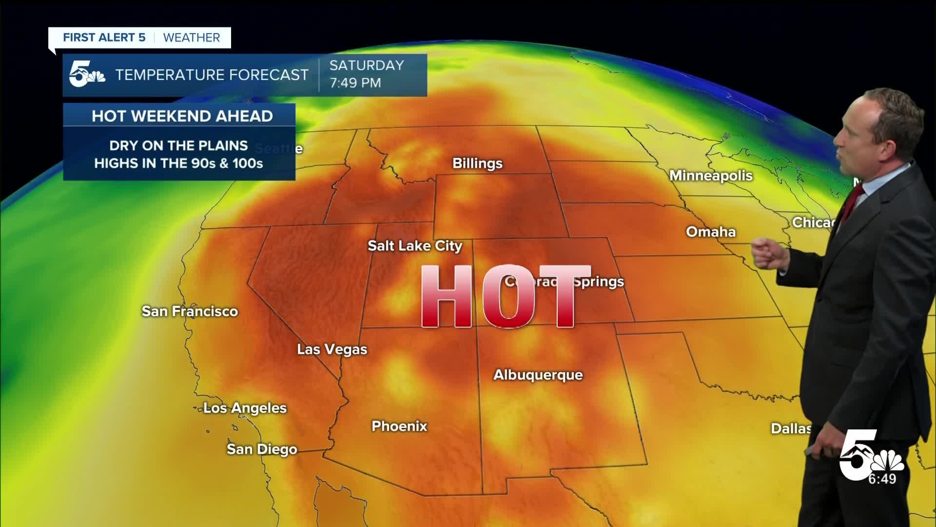
With a strong dome of high pressure settling into Colorado this weekend, this will set the stage for a hot and dry forecast. Highs this weekend in Colorado Springs will warm into the lower to middle 90s. Highs from Pueblo to the eastern Plains will warm into the lower triple digits.
Next week's well anticipated arrival of monsoon moisture looks slightly delayed this morning. While we may see a few showers on Monday, our best chances for rain may hold off until the middle to end of next week. With the more active weather comes cooler temperatures. Highs will fall back into the 80s in Colorado Springs starting next Tuesday.
____
Curious about the First Alert 5 Weather Storm Impact Scale? Check out our cheatsheet explainer.
Watch KOAA News5 on your time, anytime with our free streaming app available for your Roku, FireTV, AppleTV and Android TV. Just search KOAA News5, download and start watching.
