


Today’s Forecast:
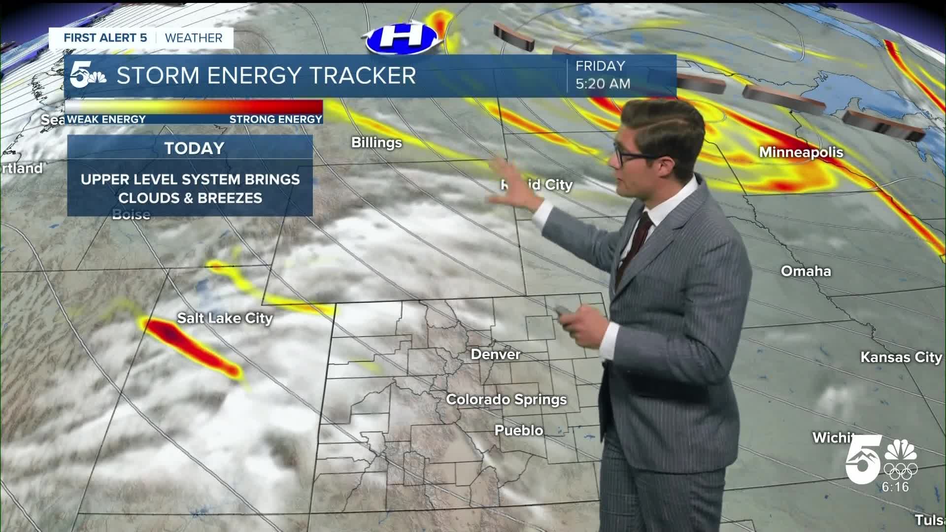
Mother nature is bringing her own chills to our Halloween skies this year. We're starting the day in the 20s, with an incoming upper-level system bringing breezes and increasing clouds through the day. First you can expect high clouds to arrive this morning, with filtered sunshine. By the afternoon, some mid-level clouds will arrive. This plus northwest breezes and a system grazing us that's centered over the north central US will combine to keep temperatures below average. Today's normal high
Colorado Springs forecast: High: 54; Low: 25.
Beware the ghouls and goblins today in the Pikes Peak Region - as we begin the day in the 20s, with increasing clouds through the morning and into the afternoon combined with north winds keeping temperatures below average. Today's average high in Colorado Springs is 59 degrees. Compare that with most of the month - which has been consistently above average, and this may feel refreshing for some of you.
North winds at 10-15 mph, gusting at times to 25 mph in the early afternoon from the north northeast. Skies begin to clear heading into the evening.The kiddos will need jackets over their costumes tonight with temperatures in the mid-40s dropping into the upper 30s later in the evening.
Pueblo forecast: High: 57; Low: 23.
High clouds this morning increasing in coverage, with mid-level clouds increasing by the afternoon, then turning mostly clear late in the afternoon with mainly clear skies in the evening. North winds at 10-15 mph, gusting to 20 mph at times (noticeable but not potent).
Canon City forecast: High: 56; Low: 30.
Partly cloudy early becoming mostly cloudy through mid-afternoon then clearing skies this evening. Northwest winds at 5-10 mph this morning shifting east at 5-15 mph this afternoon.
Woodland Park forecast: High: 49; Low: 24.
Mostly cloudy through mid-afternoon then becoming mostly clear. North winds at 10-15 mph, gusting to 25 mph at times early this afternoon.
Tri-Lakes forecast: High: 50s; Low: 20s.
Increasing clouds this morning, mostly cloudy through early afternoon, then becoming mostly clear by late afternoon. North winds at 10-15 mph, gusting at times to 25 mph early this afternoon, resulting in a wind chill in the 40s in the PM hours. You'll want to keep the coat handy throughout the day, although it'll be pleasant enough by end-of-October on the Palmer Divide standards.
Plains forecast: High: 50s; Low: 20s.
Mostly sunny early, becoming mostly cloudy by late morning. Clouds persist into the early evening before pushing southeast with clearing skies (so you keep the clouds longer than areas further north and west). Southeast winds at 10-15 mph.
Walsenburg and Trinidad forecast: High: 56/59; Low: 26/25.
Partly cloudy with northwest winds at 10-15 mph.
Mountains forecast: High: 40s; Low: 10s/20s.
Partly cloudy with north winds at 10-15 mph, gusting to 25 mph at times early this afternoon - with increasing gusts at higher elevations.
Extended outlook forecast:
Multiple waves of high pressure roll across the western United States in our extended forecast. High pressure leads to sinking air, and when air sinks, it warms up. This leads to above average temperatures which we'll see a lot of in the next 7 days. Expect sunshine through the weekend with a 10 degree warm up Saturday compared to temperatures today, and downslope breezes pushing temperatures toward record territory on Sunday. My high of 77 degrees Sunday in Colorado Springs would beat the current record of 76 set in 1941. There will be several opportunities for elevated fire danger through next week given continued dry, and warm conditions, which we'll need to keep a close eye on.
Across the state, we're continuing to fall further behind with our snowpack - as our La Nina pattern and northern jet stream brings breezes. A large scale weather pattern (called a teleconnection if you want to impress the weather enthusiasts in your life) called the Pacific North American Oscillation strongly correlates with our precipitation chances in fall and winter. It is not currently in a phase that is favorable for precipitation. It trends more favorable by the end of next week, so we will have an opportunity to see a wetter pattern of weather at that point in Colorado. At the moment, it's too early to say whether that will include southern Colorado.
____
Curious about the First Alert 5 Weather Storm Impact Scale? Check out our cheatsheet explainer.
Watch KOAA News5 on your time, anytime with our free streaming app available for your Roku, FireTV, AppleTV and Android TV. Just search KOAA News5, download and start watching.
