

Today’s Forecast:
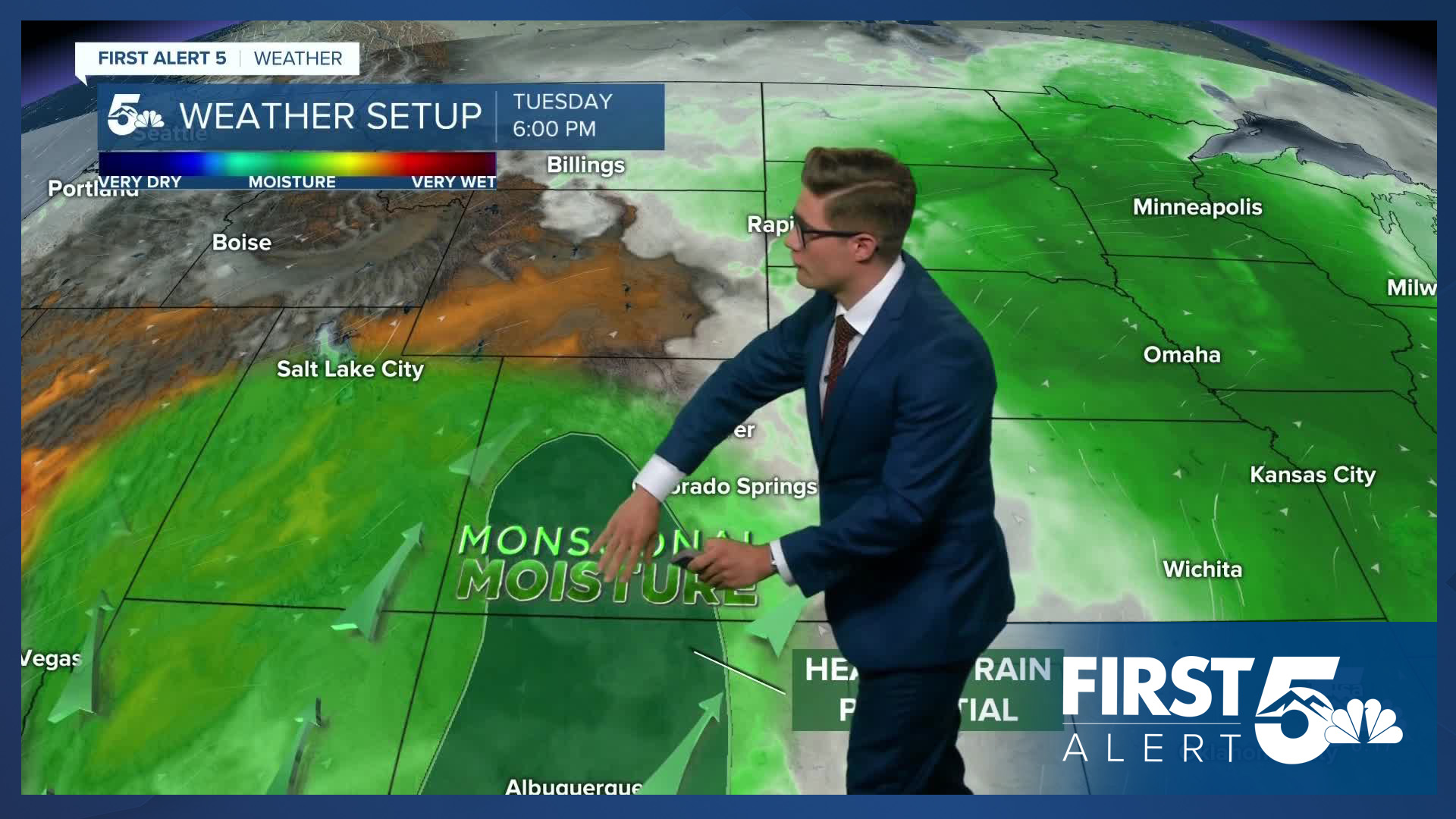
Flash flooding is a concern today in southern Colorado. Monsoon moisture continues to stream through the state, while upper-level energy will provide widespread storm support this afternoon - and this is the major difference to the pattern from the weather you saw Monday. Upper-level energy provides extra storm organization and lift support, which helps storms make it off the mountains and persist as they move through the plains.
The threat of flash flooding is isolated, with the Weather Prediction Center maintaining a 1-out-of-4 marginal risk today for most of southern Colorado, and a 2-out-of-4 slight risk over La Veta Pass, the southern mountains, and parts of the southern San Luis Valley. The main issue is that storms today will be slow movers. As we've seen with similar set ups in the last couple of weeks, these slow-moving storms can dump a lot of rain where they set up. Outdoor plans today are best to do before the lunch hour as storm chances will increase with time throughout the afternoon and into the early evening. This particularly applies to the mountains, with storms starting and ending later in the plains.
Highs today will be near seasonal averages - and should peak early, ahead of the incoming storms and energy.
Colorado Springs forecast: High: 86; Low: 58.
Partly sunny this morning - with patches of mid-level clouds that are fairly thin, allowing for a quick rise in temperatures. Clouds build over the mountains between 11 AM - 2 PM with storms forming and slowly drifting through the Pikes Peak Region throughout the afternoon and evening. Storms will move slowly, so if you end up under one of the heavier ones - you have the potential to see a lot of rain today. North winds at 5-10 mph, shifting northeast in the afternoon.
Pueblo forecast: High: 94; Low: 62.
Mostly sunny this morning, with increasing clouds and decreasing temperatures (as a result) in the afternoon. Storms are likely in the afternoon and evening, which will be slow moving. Gusty wind is a possibility with storms, as is small hail, but heavy rain is the biggest concern. West winds at 5-10 mph shifting southeast in the afternoon.
Canon City forecast: High: 91; Low: 63.
Partly sunny this morning, becoming mostly cloudy after 12:00 PM, with storms forming to the west and drifting slowly over the city during the afternoon hours. If you're planning on going to shelf road to climb, budget for being off the rock by 12 PM. You might eek out an extra hour past that, but this is a day where the question is more "when" than "if", you get thunderstorms. Southwest winds at 5-10 mph.
Woodland Park forecast: High: 79; Low: 49.
Periodic morning clouds, overall quite pleasant through about 11 AM, then the clouds will start building up and storm chances begin to increase. Thunderstorms are likely during the afternoon, with the potential for seeing multiple rounds. Northwest winds at 5-10 mph shifting east in the afternoon.
Tri-Lakes forecast: High: 80s; Low: 50s.
Partly sunny this morning becoming mostly cloudy after 12 PM. Widespread afternoon thunderstorms, which will move slowly. North winds at 5-10 mph.
Plains forecast: High: 90s; Low: 60s.
Patchy mid-level morning clouds, but with more sun than clouds. Increasing clouds after 12 PM. Storm chances today will be late - as storms off to the west take their time slowly meandering to the east. Still, isolated storms will be in the cards late today. South winds at 10-15 mph, increasing to 15-25 mph in the afternoon...you'll notice the breeze.
Walsenburg and Trinidad forecast: High: 87; Low: 59/58.
Mostly sunny this morning becoming mainly cloudy this afternoon. Thunderstorms are likely after 12:00 PM. Flash flooding is a notable concern today, with a 2/4 slight risk from the Weather Prediction Center. This does not mean you'll see a flash flood - it just means you should have a way to receive warnings, and if you do live in a low lying or flood prone area, be prepared to take action and move to higher ground if a warning is issued. Southwest winds at 5-10 mph.
Mountains forecast: High: 70s; Low: 50s.
Patchy morning clouds - widespread thunderstorms, with the earliest storms around 11:00 AM, becoming much more widespread through the afternoon. Be below treeline on any exposed summits or hikes by 11:00 AM.
Extended outlook forecast:
Wash, rinse, and repeat weather on Wednesday and Thursday. Wednesday looks marginally less active compared to today, and Thursday, but the differences aren't likely to be that noticeable. The same isolated flooding concern persists both days, with 5-10% less storm coverage on Wednesday compared to today. The storm motions will remain very slow too, which keeps the flash flood risk.
Highs will trend slightly downward through Thursday, but not enough to be noticeable.
The pattern begins to shift on Friday as our stubborn monsoonal low and high pressure systems begin to move. This will allow drier air from the west to downslope into the area, lowering storm chances Friday to isolated-scattered, rather than widespread. A more wholesale change arrives for the weekend with high pressure bringing in heat and sunshine. Most of us see highs in the 90s Friday to Monday, with triple digit heat in the southeast plains by late in the weekend. This will come with very low storm chances. Even in the mountains, storms will be isolated - making this a good weekend for outdoor high altitude pursuits, especially after the early storms last weekend.
____
Curious about the First Alert 5 Weather Storm Impact Scale? Check out our cheatsheet explainer.
Watch KOAA News5 on your time, anytime with our free streaming app available for your Roku, FireTV, AppleTV and Android TV. Just search KOAA News5, download and start watching.
