


Today’s Forecast:
Mountain wave clouds lead to cloudiness this Friday morning in much of southern Colorado ahead of an incoming system bringing major changes to the Centennial State. Highs today will be about 5-10 degrees above average - in the upper 50s to lower 60s. Winds will generally be weak and out of the west southwest, except for areas close to the mountains, where gusts to 25 mph will be possible. Clouds will clear out to some degree this after. Enjoy the weather today, if you can.
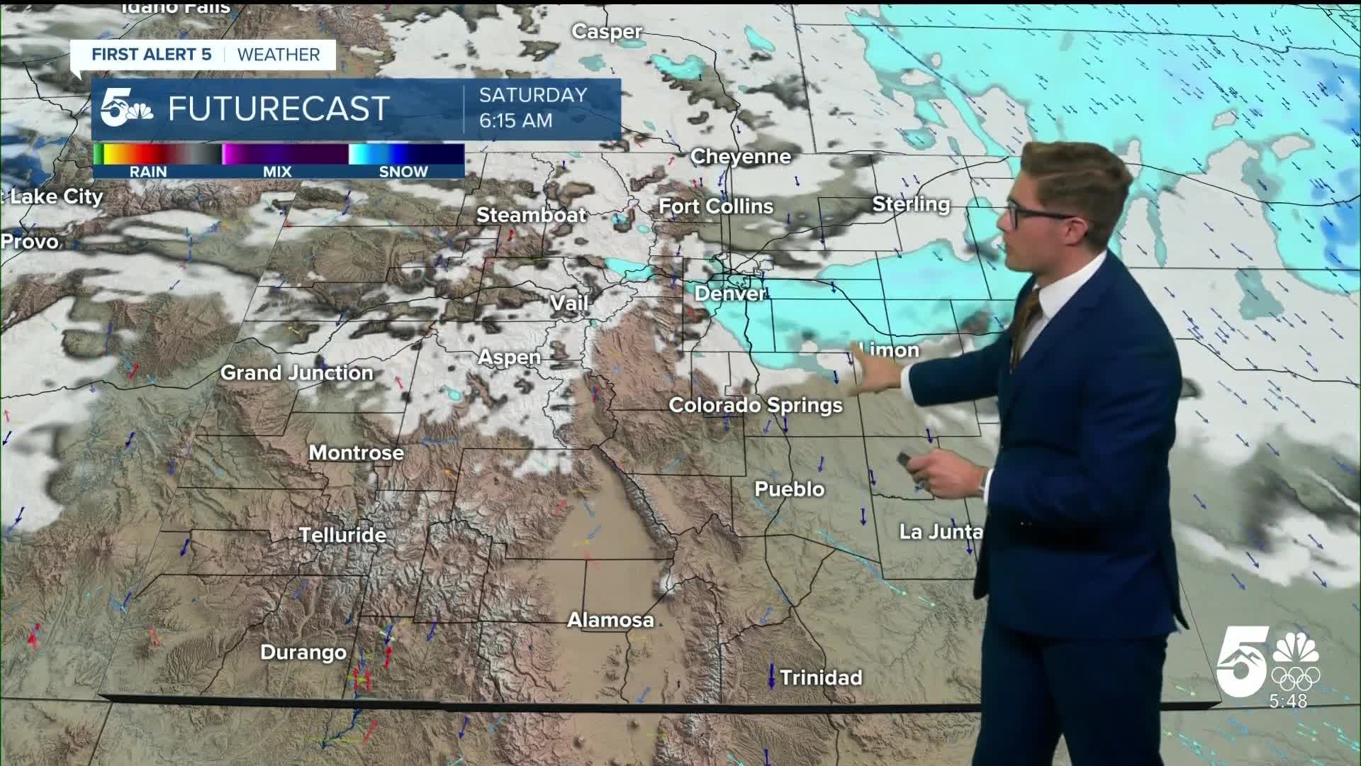
Winter weather arrives this afternoon in parts of the northern and Front Range mountains. An incoming disturbance and associated cold front will bring snow into these zones this afternoon. A Winter Weather Advisory is in place for these areas - including Rabbit Ears Pass, Rocky Mountain National Park, and Breckenridge, beginning at 5:00 PM this afternoon and continuing until 8:00 AM Saturday morning. In addition to 3-9" of snow, wind gusts of 30-45 mph are possible - creating blowing snow conditions and lowering visibility. If you're traveling this afternoon toward the mountains for a long weekend getaway, check whether your route is included in the advisory and current radar. Expect winter travel conditions in those zones tonight.
Colorado Springs forecast: High: 58; Low: 21.
Mostly cloudy until mid-afternoon, then clearing skies. Enjoy today's weather if you can - today's highs will be the warmest they'll be for the foreseeable future. Southwest winds at 5-10 mph, except right next to the mountains where they'll run 10-15 mph this afternoon. Gusty cold front arriving tonight.
Pueblo forecast: High: 60; Low: 25.
Mostly cloudy until late afternoon, becoming mostly sunny near sunset. Pleasant conditions for the holiday lighting ceremony at the Riverwalk! Light winds this morning, becoming southwest at 5-10 mph this afternoon
Canon City forecast: High: 61; Low: 31.
Partly cloudy through about 2:00PM, then becoming clear heading into the evening. West winds at 10-15 mph, slightly stronger west of city center where the canyon will marginally enhance the winds (not by much).
Woodland Park forecast: High: 52; Low: 20.
Patchy clouds, mainly along and east of a line that goes above the city center - these are wave clouds so Woodland Park sits right on the periphery of where they tend to form in these setups. Mild, with southwest winds at 5-10 mph. Chilly tonight, with snow showers possible late this evening. Get ready for some real winter-feeling weather!
Tri-Lakes forecast: High: 50s; Low: Teens.
Mostly cloudy thanks to wave clouds, with some marginal clearing late this afternoon, but likely to remain mostly cloudy through sunset. Southwest winds at 5-10 mph.
Plains forecast: High: 50s; Low: 20s.
Mostly sunny with south winds at 5-10 mph. Increasing clouds after 2:00 PM.
Walsenburg and Trinidad forecast: High: 59/64; Low: 28/27.
Mostly sunny with west winds at 10-20 mph. Gusts to 30 mph in gap flow prone zones this afternoon.
Mountains forecast: High: 40s; Low: Teens.
Partly to mostly cloudy (more clouds farther north, less clouds farther south), until late afternoon with mostly clear skies near sunset. Southwest winds at 5-15 mph, stronger above 9,000 feet. Gusty tonight with an arriving cold front. Snow in the northern mountains - but not in the southern mountains.
Extended outlook forecast:
A powerful arctic cold front arrives tonight in southern Colorado. It'll bring gusty wind as it bulldozes its way south. Snow showers are possible over the Palmer Divide, and light snow showers/flurries remain possible in Colorado Springs, though significant accumulations look unlikely in southern Colorado.
Highs Saturday will be in the low 30s for most and it will be breezy with northerly winds. Lows Saturday night to the low teens with even colder wind chills across the plains. Even more cold air arrives Sunday, cooling highs further - into the upper 20s to low 30s! A second incoming wintery system arrives Sunday afternoon. It will bring more snow to the northern and central mountains. Brief snow is possible in Colorado Springs and Pueblo Sunday night into Monday. Monday remains cold, as northerly air flow and cold air remain anchored in the region with highs still in the 30s.
We get a brief warm up on Tuesday, before more cold air returns mid-week. At the moment, Monday AM represents our best chance for snow - if we don't get accumulations then, we'll be trending toward the second latest reliable data first snowfall on record - December 31st is the latest, with December 2nd the second latest.
____
Curious about the First Alert 5 Weather Storm Impact Scale? Check out our cheatsheet explainer.
Watch KOAA News5 on your time, anytime with our free streaming app available for your Roku, FireTV, AppleTV and Android TV. Just search KOAA News5, download and start watching.
