

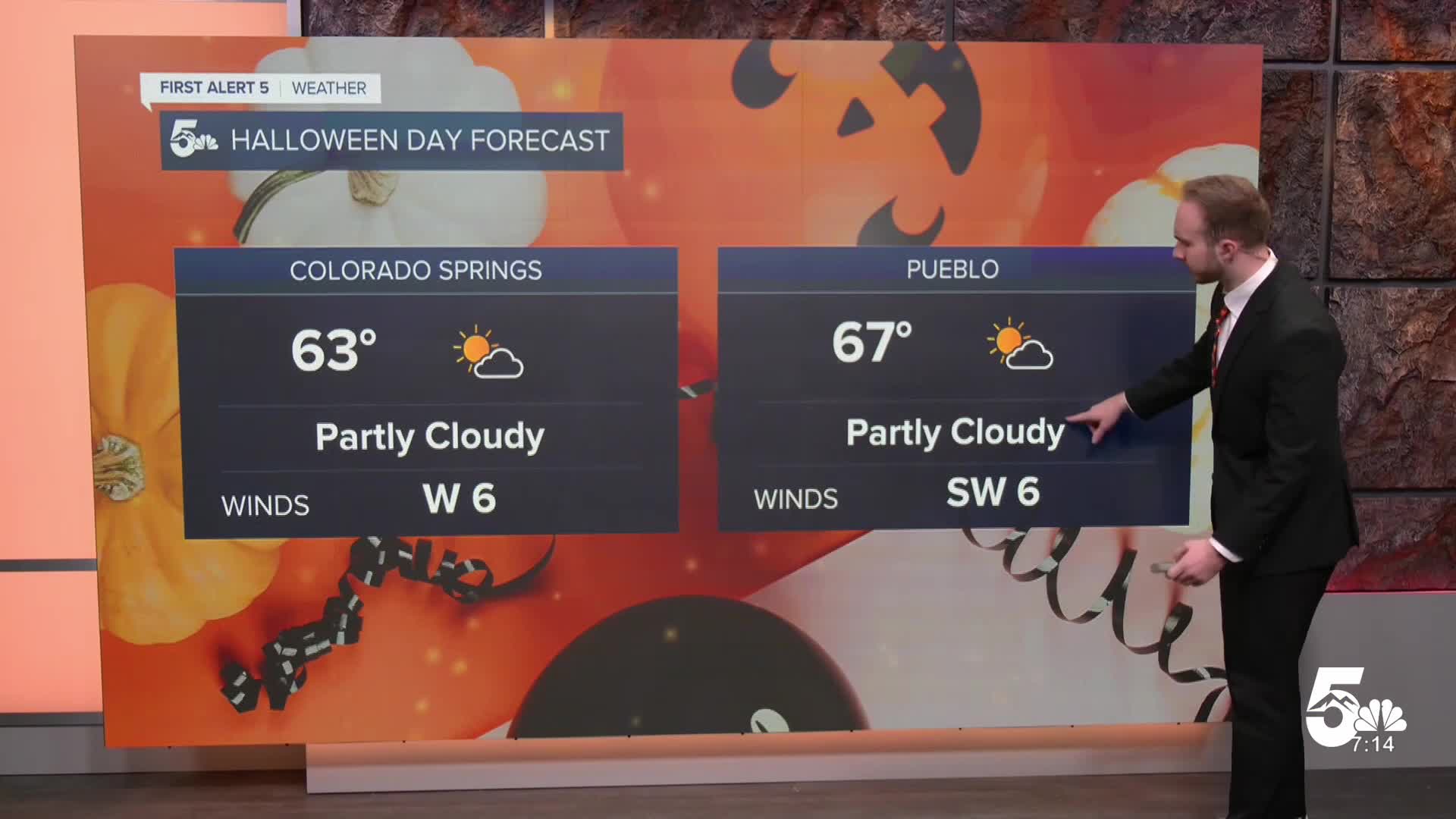

Today's Forecast: Happy Halloween! A brief morning wave brings early scattered showers and light high-elevation mountain snow, but conditions clear out nicely for the afternoon and trick-or-treating hours.
Expect partly cloudy skies, light winds under 10 mph, and unseasonably warm daytime temperatures across Southern Colorado. Highs top out in the 60s and 70s for the plains, 50s for high mountain valleys, and 30s to 40s in the mountains.
Tonight's Forecast: Clouds gradually increase overnight ahead of an incoming, high-impact storm system. Conditions remain mostly dry through daybreak with mild temperatures holding across the region. Overnight lows drop into the upper 30s to 40s for the plains, 30s to low 40s for mountain valleys, and mid-20s to 30s for the higher peaks.
- Colorado Springs: High: 63 | Low: 44 A pleasant Halloween overall! Morning clouds break for afternoon sunshine with mild temperatures climbing into the upper 60s. Trick-or-treaters can expect great evening weather with light winds and temperatures falling through the 50s after sunset.
- Pueblo: High: 67 | Low: 45 Warm and dry for Halloween afternoon with highs topping out in the low 70s under partly cloudy skies. Evening conditions remain comfortable and clear for trick-or-treating before cloud cover thickens overnight.
- Canon City: High: 68 | Low: 47 Mild and pleasant through the day with afternoon highs hitting the 70-degree mark. Skies turn partly sunny by the afternoon, staying dry through the evening with overnight lows dropping into the mid-40s.
- Woodland Park: High: 56 | Low: 36 A few spotty morning showers give way to clearing skies and pleasant afternoon temperatures in the mid-50s. Skies turn cloudy again overnight with crisp temperatures dipping close to the freezing mark.
Extended Forecast: A minor lull this afternoon gives way to a high-impact, dangerous storm system on Sunday and Monday, followed by an unsettled pattern through next week.
Sunday – Monday: A powerful storm system drags subtropical moisture northward, bringing 2 to 4 inches of rain to the southwestern mountains and San Luis Valley. On top of saturated soils, rivers could reach moderate-to-major flood stages by Monday.
Snow levels start high (above 11,000 ft) on Sunday before dropping to 9,000 ft Monday morning, bringing 12 to 15 inches of heavy snow to the San Juans and gusty winds up to 50 mph. Scattered rain showers expand across the I-25 corridor and eastern plains on Monday as a cold front moves through.
- Tuesday – Friday: The main storm system exits Tuesday morning, leaving behind gusty winds on the plains. Additional shortwave disturbances keep an unsettled, active pattern in place through late week, bringing ongoing chances for mountain snow showers, breezy conditions, and mild, near-seasonal temperatures.
____
Curious about the First Alert 5 Weather Storm Impact Scale? Check out our cheatsheet explainer.
Watch KOAA News5 on your time, anytime with our free streaming app available for your Roku, FireTV, AppleTV and Android TV. Just search KOAA News5, download and start watching.
