

Today’s Forecast:
High pressure over the Desert Southwest will bring drier air and warmer temperatures into Southern Colorado on Wednesday. Highs will be as much as 6-12 degrees warmer than yesterday. On the Plains, afternoon highs will warm into the 70s and 80s.
A few high based showers will be possible this afternoon, but with dry air near the surface, rain is not likely to reach the ground. If we do see any rain today, it would favor the higher terrain.
Finally today, a weak frontal boundary will push across the eastern Plains, with little to no impact to our weather.
Colorado Springs forecast: High: 73; Low: 41. Warming highs on Wednesday will push our temperatures back into the 70s this afternoon. While some upper level moisture will generate storm clouds this afternoon, drier lower levels should prevent any rain from the reaching the ground.
Pueblo forecast: High: 80; Low: 40. Highs today will be very warm, around 15 degrees above average for this time of the year. Skies will start out clear before turning partly to mostly cloudy this afternoon. Rain is not expected on Wednesday.
Canon City forecast: High: 77; Low: 42. Skies will turn mostly cloudy this afternoon, but with drier air at the surface, rain is not expected today in eastern Fremont County.
Woodland Park forecast: High: 63; Low: 34. Wednesday's forecast will be nice, mild and for the most part, dry. Rain chances this afternoon will only be around 20% in Teller County. They will increase later this week.
Tri-Lakes forecast: High: 60s/70s; Low: 30s/40s. A cool and clear morning will give way to increasing clouds and mild highs this afternoon, with chances for rain today down around 10-20%.
Plains forecast: High: 70s/80s; Low: 30s/40s. Sunny and cool conditions this morning will give way to a warm mix of sun and clouds this afternoon. It will be breezy today as a frontal boundary increases the wind this afternoon. Gusts to 25 mph will be possible, with the wind turning out of the E/NE this evening.
Walsenburg and Trinidad forecast: High: 70s; Low: 30s/40s. Warm and breezy on Wednesday, with afternoon wind gusts around 20-30 mph. The strongest gusts will be in the gap flows regions of Huefano County.
Mountains forecast: High: 40s/50s/60s; Low: 20s/30s. Wednesday's forecast will be warmer and breezy, with shower chances much lower compared to the past few days. Gusts today will be strongest in the Sangres, peaking around 35-45 mph.
Extended outlook forecast:
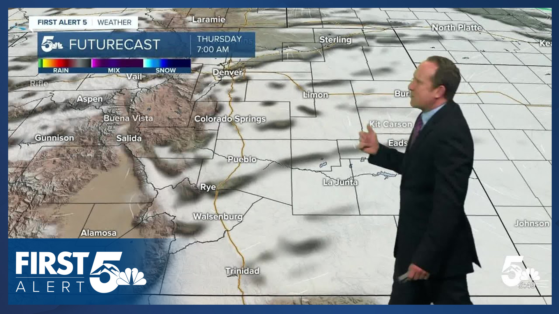
While the warmth sticks around on Thursday, increasing humidity in the atmosphere will allow for a slightly better chance for afternoon showers and thunderstorms to form. Much like what we saw on Tuesday, showers should be fairly spotty across Southern Colorado.
A strong cold front moves across the state Thursday night. Behind it, Friday's weather will turn cool, overcast and showery. A few thunderstorms will also be possible on Friday, with our high in the Springs only warming into the lower to middle 60s.
Showers and thunderstorms will remain possible on Saturday, and some storms could be on the stronger side. Sunday will be warm and gusty, with high fire danger a possibility, driven by strong wind gusts above 30 mph and low relative humidity. Highs this weekend will warm into the 60s and 70s on the Plains.
____
Curious about the First Alert 5 Weather Storm Impact Scale? Check out our cheatsheet explainer.
Watch KOAA News5 on your time, anytime with our free streaming app available for your Roku, FireTV, AppleTV and Android TV. Just search KOAA News5, download and start watching.
