



Today’s Forecast:
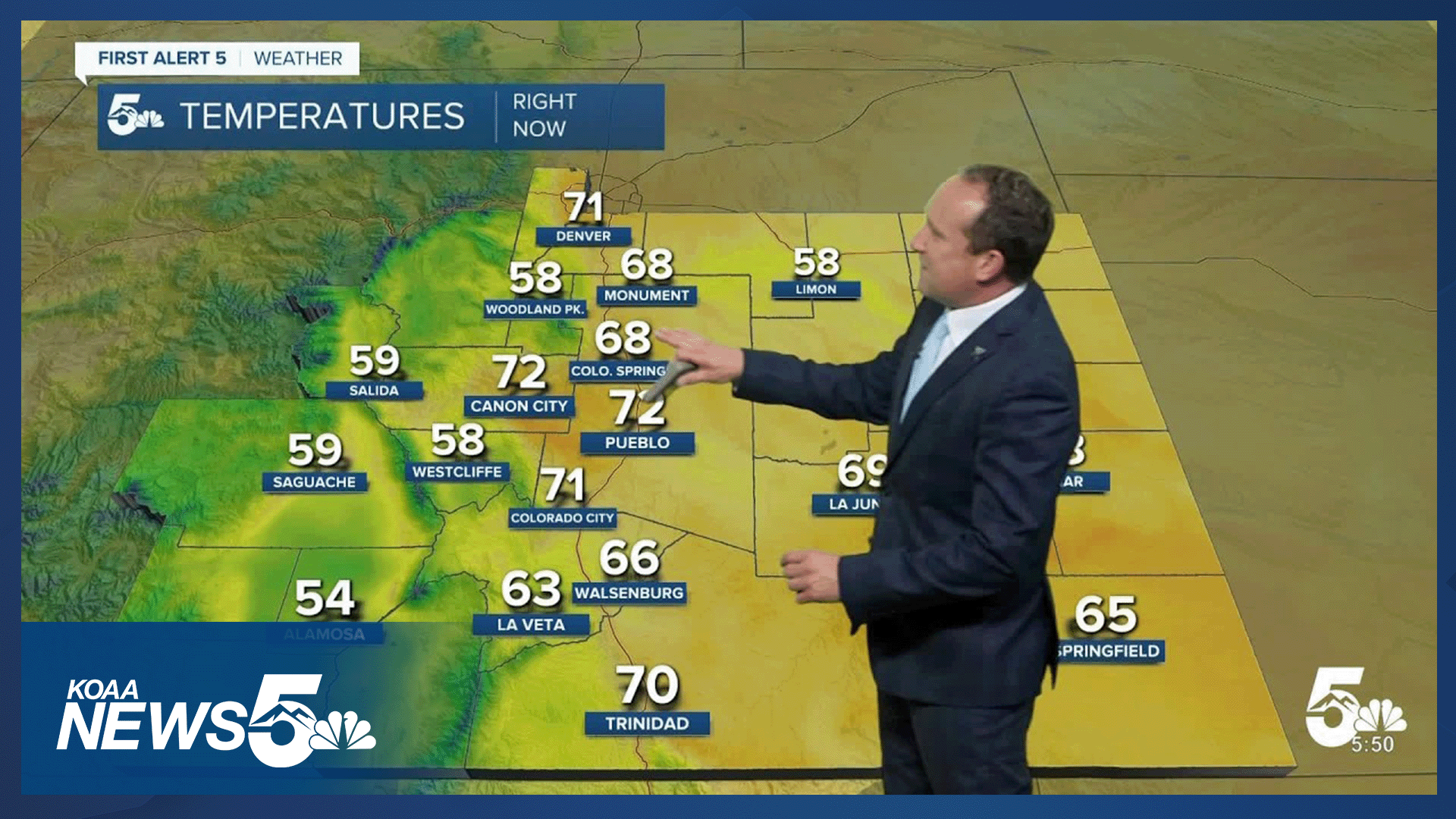
After 90s and 100s on Monday, the heat will continue this afternoon, with maybe a few degrees of cooling compared to yesterday. Areas that see any rain showers this afternoon may see better cooling than areas that stay dry, like the far eastern Plains.
Rain chances will be low overall outside of the mountains, where a few isolated thunderstorms will be possible late this afternoon or evening into the Pikes Peak Region. Heavier rain and the potential for flooding will remain highest on Tuesday for northern and westerns parts of the state.
Colorado Springs forecast: High: 93; Low: 63. Highs will be cooler by a few degrees, but it will remain hot with our high today around 5-7 degrees above average. As moisture increases from the south today, we could see a few spotty late afternoon or early evening showers in the Pikes Peak Region.
Pueblo forecast: High: 99; Low: 67. Today will be nearly as hot as yesterday, when we will 100 degrees for the first time this month! Rain chances will begin to increase today, before peaking Wednesday and Thursday.
Canon City forecast: High: 97; Low: 67. Hot and mainly dry on Tuesday, with only a slight chance of a late afternoon or early evening shower or thunderstorm.
Woodland Park forecast: High: 84; Low: 55. Rain chances will be fairly low today, but with increasing monsoon moisture in our forecast, don't be surprised to see a few storms pulse up this afternoon in and around Teller County.
Tri-Lakes forecast: High: 80s/90s; Low: 50s/60s. With increasing moisture in the mid-week period, we will see increasing rain chances. Showers and isolated thunderstorms will be possible by the afternoon, with rain chances today low, at around 30%.
Plains forecast: High: 90s/100s; Low: 60s. 90s and 100s will continue on the Plains on Tuesday, with very low chances for any rain or thunderstorms this afternoon. If we do see any rain today on the Plains, it would favor areas closest to I-25.
Walsenburg and Trinidad forecast: High: 90s; Low: 50s/60s. Hot and dry weather will continue on Tuesday, with rain chances only around 10-20%. While we're not likely to see much rain today, that looks to change in the mid-week period.
Mountains forecast: High: 70s/80s; Low: 40s/50s. The mountain areas will be ground zero for rain and thunderstorm development today, but most of these showers look to favor areas along and west of the Continental Divide. Rain chances in the southeastern mountains will increase in the mid-week period.
Extended outlook forecast:
As high pressure continues to move east towards Texas, we'll see a better influx of moisture into Southern Colorado and the Pikes Peak Region. Scattered thunderstorms, with periods of heavy rain, will be possible on Wednesday, with an even bigger threat for heavy rain by Thursday. These two days will pose the greatest risk of flash flooding in urban areas and near recent fires and burn scars.
Highs will remain in the 90s on Wednesday, cooling to the upper 80s on Thursday, and then back up near 90 degrees on Friday in Colorado Springs. By Friday, high pressure will begin to expand back towards Colorado. This will result in fewer showers from Friday to Sunday, with rain favoring mountain zones. As we dry out, we heat up, with weekend temps in the mid 90s in Colorado Springs. Temperatures this weekend on the Plains will top triple digits in some areas.
____
Curious about the First Alert 5 Weather Storm Impact Scale? Check out our cheatsheet explainer.
Watch KOAA News5 on your time, anytime with our free streaming app available for your Roku, FireTV, AppleTV and Android TV. Just search KOAA News5, download and start watching.
