

Today’s Forecast:
The final day of September will be a warm one for Southern Colorado, with highs this afternoon running as much as 4-7 degrees above seasonal averages. Highs on the I-25 corridor and eastern Plains will soar into the 70s and 80s, with a mix of 60s and 70s in the higher elevations.
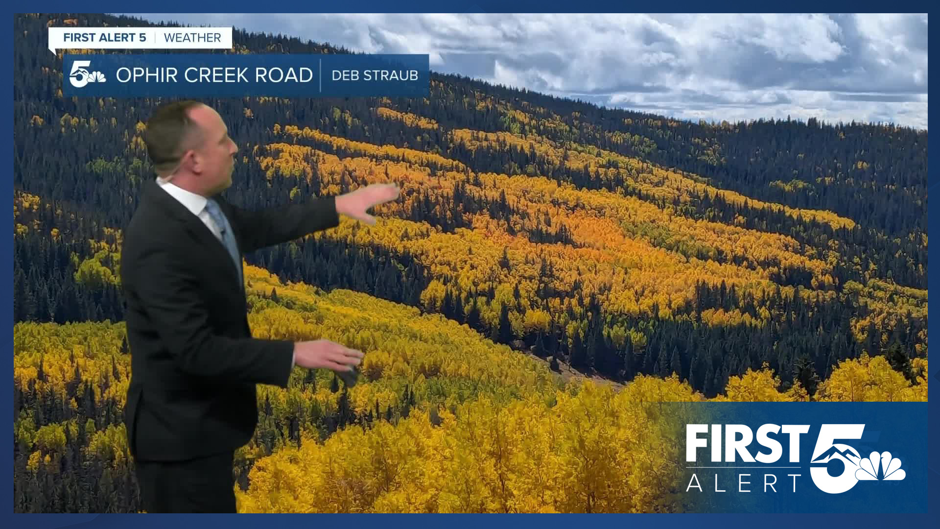
A weak disturbance will trigger a few spotty showers in the mountains on Tuesday, with a chance for a late afternoon shower or thunderstorm also possible near the Palmer Divide. A few sprinkles could also reach Colorado Springs late this afternoon or this evening.
Colorado Springs forecast: High: 77; Low: 50. After some rough and tumble thunderstorms in El Paso County on Monday, today's weather will be much calmer. While a few sprinkles will be possible late this afternoon and evening, any thunderstorms that form today should favor the mountains and Palmer Divide.
Pueblo forecast: High: 84; Low: 51. Rain is not likely on Tuesday as most of the rain state-wide today should favor the mountains and mountain valleys.
Canon City forecast: High: 81; Low: 53. With only around a 10-20% chance for rain today, any showers that we do see reach eastern Fremont County should be fairly spotty as highs today will climb into the lower 80s.
Woodland Park forecast: High: 68; Low: 38. An additional piece of storm energy moving across the mountains will bring us a chance for a few isolated thunderstorms towards the late afternoon and evening hours. Storms should be less intense than yesterday.
Tri-Lakes forecast: High: 70s; Low: 40s. After hail and thunderstorms on Monday, today's weather should be considerably more quiet. Weak energy coming off the mountains this afternoon will bring the potential for a few rogue showers to the Palmer Divide, but these storms should be weaker and less numerous than yesterday.
Plains forecast: High: 70s/80s; Low: 40s/50s. Dry skies and warmer than average highs for our friends on the Plains on this final day of September, with highs this afternoon warming into the upper 70s and 80s.
Walsenburg and Trinidad forecast: High: 70s/80s; Low: 40s/50s. After scattered thunderstorms on Monday, our weather will be both more mellow and warmer on Tuesday, with highs climbing into the lower 80s for some.
Mountains forecast: High: 50s/60s; Low: 30s. While a few showers will be possible this afternoon in the Wet Mountains and Sangre de Cristos, areas closer to the Continental Divide will have the best chances for rain on Tuesday.
Extended outlook forecast:
A strong early October high pressure system will bring Southern Colorado warm and dry conditions for the rest of the week. Highs in Colorado Springs will warm into the upper 70s on Wednesday, followed by lower 80s Thursday and Friday. Highs on the Plains, including Pueblo and La Junta, could hit the 90s by Friday.
As high pressure shifts east into the Plains late this week, an incoming low pressure system will move across the western U.S. This will lead to increasing southwesterly winds late this week, with gusts to 25 mph. It will remain breezy this weekend, with the potential for showers on Saturday as a cold front moves in from the north. Highs will cool through the 70s on Saturday in Colorado Springs and 60s by Sunday.
____
Curious about the First Alert 5 Weather Storm Impact Scale? Check out our cheatsheet explainer.
Watch KOAA News5 on your time, anytime with our free streaming app available for your Roku, FireTV, AppleTV and Android TV. Just search KOAA News5, download and start watching.
