


Tonight's Forecast:
A few scattered storms have moved into Southern Colorado from New Mexico. These should dissipate between 8-10 pm. Main threats will be gusty winds, lightning, brief downpours. Storms this evening will favor the higher terrain, adjacent foothills, and southeastern Plains.
Temperatures will stay mild heading into Saturday morning, only cooling down to the lower 60s in Colorado Springs and Pueblo. Winds across Southern Colorado will be light and variable into the overnight hours, and this should set the stage nicely for tomorrow's balloon lift off at Memorial Park in downtown Colorado Springs.
Colorado Springs forecast: Low: 60; High: 89; Mild temperatures and light N/NW breezes should make for a successful start to Labor Day Lift Off in Colorado Springs. For the afternoon, it will be hot and mainly dry. Skies will turn partly cloudy, with rain chances only around 20%.
Pueblo forecast: Low: 62; High: 95; Mild morning temperatures in the low 60s will give way to highs in the middle 90s, with Saturday's temperatures well above our average high of 87 degrees.
Canon City forecast: Low: 63; High: 92; Skies will start out bright and sunny before turning partly to mostly cloudy in the afternoon. It will remain hot on Saturday, with lower rain chances early this weekend before increasing towards Labor Day.
Woodland Park forecast: Low: 54; High: 78; Saturday will start out gorgeous, with a cool and comfortable morning giving way to a warm afternoon. A few isolated showers will be possible Saturday, developing as early as 1-2 pm.
Tri-Lakes forecast: Low: 50s; High: 80s; Bright skies and morning sunshine will give way to a partly to mostly cloudy afternoon, with lower end rain chances compared to what we'll see closer to Labor Day.
Plains forecast: Low: 60s; High: 90s; More heat and humid this weekend for the Plains, with a daily chance for showers and thunderstorms, especially for areas south of Highway 50.
Walsenburg and Trinidad forecast: Low: 50s/60s; High: 80s/90s; Much like what we saw on Friday, monsoon moisture will continue to stream into the state on Saturday. Our forecast will be hot and muggy, with a chance of spotty afternoon thunderstorms.
Mountains forecast: Low: 40s/50s; High: 60s/70s; The mountains will see the potential for showers and thunderstorms towards early Saturday afternoon. Storms should be fairly spotty in coverage, but I would advise on hikes or time on the lake during the first half of the day.
Extended outlook forecast:
Saturday's forecast is trending drier overall and hotter. Highs will remain in the upper 80s and 90s on the Plains. Much like today, monsoon moisture will stream into the state, helping to initiate some spotty to scattered thunderstorms. Storms will be most favorable over the mountains and across the the southeastern Plains.
Moisture will gradually increase throughout the weekend as Colorado will stay sandwiched between high pressure to our east and a cool low pressure system over the Pacific NW. Temperatures will remain hot and it will be muggy in the afternoon, with scattered mountains thunderstorms, and a low end chance for rain along the I-25 corridor.
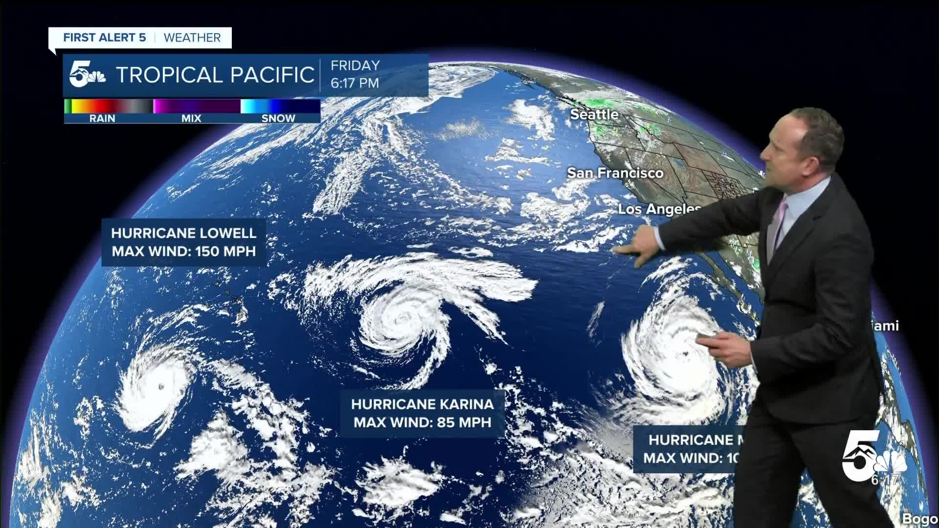
By Monday, moisture will become even more elevated as the monsoon combines with moisture swept into the state from Hurricane Marie. Storms should be more numerous by the afternoon, with a daily chance for thunderstorms continuing into next week.
____
Curious about the First Alert 5 Weather Storm Impact Scale? Check out our cheatsheet explainer.
Watch KOAA News5 on your time, anytime with our free streaming app available for your Roku, FireTV, AppleTV and Android TV. Just search KOAA News5, download and start watching.
