


Tonight's Forecast:
Skies will remain clear, but hazy this evening for most areas in Southern Colorado. The exception will be across the southern mountains, southeastern Plains and Raton Mesa, where an isolated evening thunderstorm will remain possible. Overnight lows will be seasonable and pleasant, cooling down to the 50s and 60s away from the mountains.
COLORADO SPRINGS: Low: 56; High: 90. The heat will be on the rise for the Pikes Peak Region on Labor Day as temperatures are expected to climb into the lower 90s. In addition to the heat, areas of smoke and haze will be higher than normal, prompting an Air Quality Alert for the area on Monday.
PUEBLO: Low: 57; High: 94. Hot and hazy on Monday as Labor Day will be the hottest day of the holiday weekend. If you're planning to check out the Colorado State Fair before it closes, make sure to stay hydrated and bring some sunscreen.
CANON CITY: Low: 60; High: 93. Both summer ozone and smoke levels will be higher on Monday as the heat peaks, and highs climb into the lower to middle 90s.
WOODLAND PARK: Low: 48; High: 80. Labor Day will bring a warm and hazy end to the holiday weekend for Teller County as afternoon highs climb into the upper 70s and lower 80s.
TRI-LAKES: Low: 50s; High: 80s. Hot, with areas and smoke and haze for northern El Paso County on Monday. In addition to the heat, an Air Quality Alert will remain in effect until at least 8 pm.
PLAINS: Low: 50s; High: 90s. Sunny and hot for the Plains of Southern Colorado on Labor Day. Along with the heat, we'll see hazy and smoky skies by the afternoon.
WALSENBURG/TRINIDAD: Low: 50s/60s; High: 80s/90s. We'll see a hot and hazy end to the Labor Day weekend as highs climb into the upper 80s and lower 90s.
MOUNTAINS: Low: 40s; High: 70s/80s. Warm, but pleasant temperatures for the mountains and mountain valleys on Monday. The downside to the forecast will be increasing smoke and haze across the region, especially for areas along and north of I-70.
Extended Outlook:
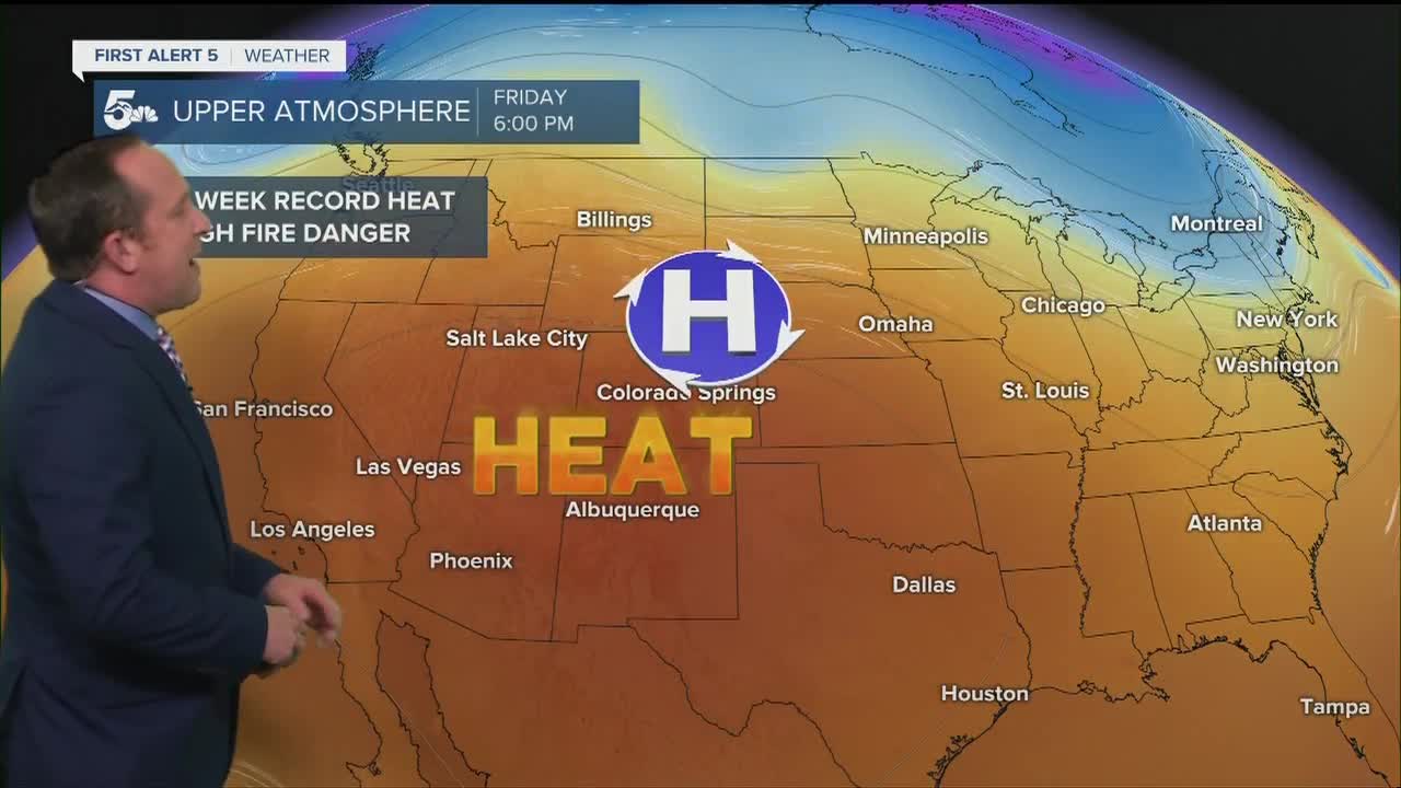
A cool front will push more smoke and haze into the forecast on Tuesday, along with gusty northerly winds for the Plains and Arkansas River Valley. Temperatures will only cool by a few degrees behind the front. The sizzling heat comes roaring back late this week as record highs may fall from Colorado Springs to Pueblo to Alamosa.
KOAA News5 on your time, streaming on your Roku, FireTV, AppleTV and AndroidTV.
News5 App | First Alert 5 Weather App | Youtube | Facebook | Instagram | Twitter
