

Today’s Forecast:
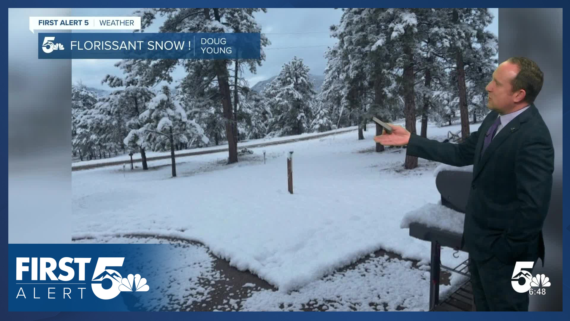
Our well-advertised spring storm is here! A Winter Storm Warning is in effect for Teller County until 12 PM Friday. Round #1 of this system is overperforming, providing plentiful moisture early today. The weather team has already received several reports in Teller County this morning - with up to 6" reported in Woodland Park, and up to 9" in Florissant.

The Palmer Divide has snow covered secondary roadways, with isolated slick spots farther south towards the Air Force Academy. Road crews are out and have cleared many of the roads off already.
The first round of precipitation will wrap up this morning as we sit between pieces of upper-level energy. A few spotty showers will still be possible in this period, favoring the mountains, but the consistent precipitation will stop.
The next round of energy will arrive this afternoon. Snow showers will become more consistent in the mountains by 2:00 PM, with precipitation returning to the I-25 corridor towards 3:00-5:00 PM. Recent model trends have continued a southward shift of a large upper level low, and precipitation has followed suit. A frontal boundary will also push in from the north this afternoon, shifting wind direction to a more northeasterly direction.
This second round of precipitation will be heavy at times but will be less consistent than this first round of moisture, with more apparent banding in the overall pattern (areas of heavy precipitation right next to areas of light precipitation). This leads to a bit of uncertainty in the exact locations that will get the most snow and rain as these bands will be fairly thin. That said, we expect significant travel impacts to continue in Teller County tonight with snow covered roads, as well as the southeastern mountains and adjacent mountain valleys. We also expect the Palmer Divide to see accumulating snow on roads tonight.

Overall, you can expect additional snow accumulations of 2-5" in Monument, 1-4" in Briargate, 3-7" at the Air Force Academy, and 4-8" in Black Forest where upslope flow will be strongest. Areas south of Briargate Parkway are likely to see mainly rain or a wintry mix, and if snow does fall, it will struggle to accumulate.

Colorado Springs forecast: High: 44; Low: 32. The first round of rain and snow will come to an end late this morning, with a brief lull in the action before more rain and snow develops later today. Round #2 will bring cooler air, with better chances for snow in Colorado Springs Thursday night into Friday morning. Totals will range from very little accumulations in SE Springs to as much as 2-5" in northern and western neighborhoods.
Pueblo forecast: High: 49; Low: 35. Pueblo has seen some heavy rain this morning. Rain showers will wrap up towards late morning, with a small break in the storm before round #2 arrives. Rain will pick up towards late afternoon and early evening before tapering off Friday afternoon.
Canon City forecast: High: 47; Low: 35. Rain will wind down this morning with a small break in the unsettled weather ahead of round #2 that arrives later this afternoon and evening. A mix of rain and snow will be possible in Fremont County early Friday morning.
Woodland Park forecast: High: 36; Low: 24. The first round of snow that wraps up this morning has brought some significant totals to Teller County, with a few viewer reports of 5-9" in the Florissant area. We should see a small break in the action for a few hours today before another round of snow late this afternoon into midday Friday. Additional snow totals could still be in the 4-10" range across Teller County.
Tri-Lakes forecast: High: 30s/40s; Low: 20s/30s. Rain and snow showers should come to an end by 9 am, leaving us with a small break in the action before more precipitation moves in later today and this evening. The second round will be much colder, and in typical spring fashion, there will some instability that could lead to a wide range of totals over relatively short spaces. We think that Monument could see 2-5", with 4-8" possible in Black Forest, and 3-7" for the Air Force Academy.
Plains forecast: High: 40s/50s; Low: 30s. Rain this morning will taper off towards the lunch hour before a more impactful second round of rain moves into the Plains this evening. Periods of heavy rain will remain possible through midday Friday. A few thunderstorms will also be possible on Thursday.
Walsenburg and Trinidad forecast: High: 40s; Low: 20s/30s. Not as much moisture has reached the southern I-25 corridor yet, compared to northern parts of our viewing area, but that will change later today. As round #2 arrives, heavier precipitation will favor areas south of Highway 50, with a chance for some light snow accumulations into Friday morning.
Mountains forecast: High: 20s/30s; Low: 10s/20s. Snow will continue at times from Thursday morning until late Friday, with the next round of heavier snow expected later this evening into midday Friday. Winter Storm Warnings are currently in effect for the Wet Mountains and Sangres, with a Winter Weather Advisory in effect for the Wet Mountain Valley.
Extended outlook forecast:
Friday will begin with freezing temperatures, and clearing skies as the rain and snow come to an end. Make sure you bring in any sensitive plants before you go to bed tonight. In the afternoon, scattered showers will be possible - but we aren't expecting another round of sustained and significant moisture once the rain and snow wraps up.
The first weekend of May will be dry, warm, and sunny - with highs in the upper 60s and 70s on the PLains...ahead of more unsettled changes early next week. For now, there are chances for afternoon showers and storms each day Monday through Wednesday.
____
Curious about the First Alert 5 Weather Storm Impact Scale? Check out our cheatsheet explainer.
Watch KOAA News5 on your time, anytime with our free streaming app available for your Roku, FireTV, AppleTV and Android TV. Just search KOAA News5, download and start watching.
