


Today’s Forecast:
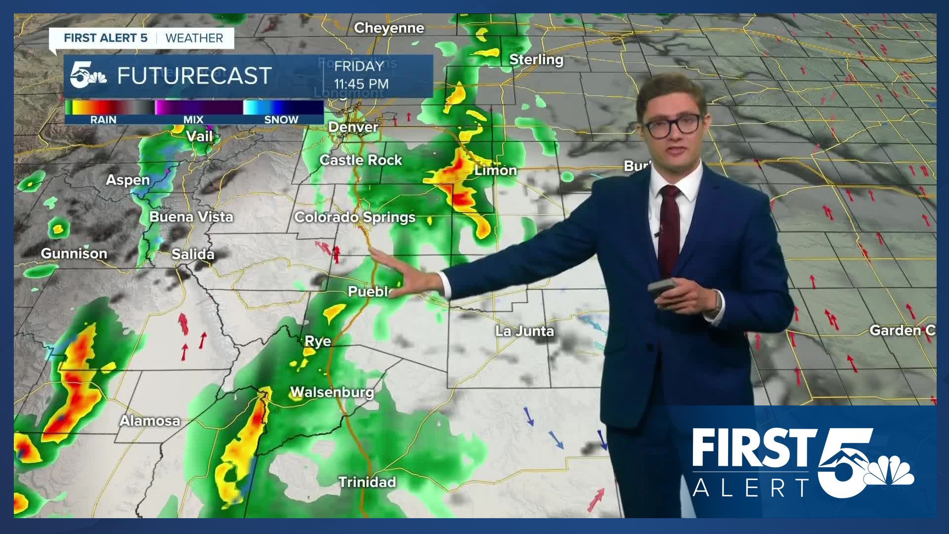
Monsoon moisture from the south combines with moisture and upper-level energy from an area of low pressure in the western U.S today. The combination will produce periods of clouds, showers, and thunderstorms across much of the I-25 corridor. In general, the farther west you are, the more likely storms will be today and the greater your chance of seeing more than one storm.
After some light early and patchy showers, skies will become partly cloudy by mid-morning allowing temperatures to climb across much of I-25. More widespread showers and storms will return this afternoon - generally after 3 PM in our cities and becoming more widespread heading into the evening commute. Storms this afternoon will be capable of gusty wind, lightning, and briefly heavy rainfall. It's a good day to keep an umbrella in your car and the rain jacket handy.
A cold front will arrive this evening providing additional storm support after sunset, and this will be combined with another batch of upper level energy arriving from the west.
Colorado Springs forecast: High: 78; Low: 51.
After some early patchy light showers, the Pikes Peak Region will see patchy sunshine through the rest of the morning. This will allow temperatures to climb into the upper 70s by early afternoon. By mid-afternoon showers and weak thunderstorms return to the area with storm chances lasting into the evening. Southwest winds at 10-15 mph.
Pueblo forecast: High: 87; Low: 57.
Partly cloudy becoming mostly sunny by the end of the morning commute. Temperatures will climb quickly into the 80s. Isolated storms will return in the mid to late afternoon, with chances continuing into the evening. Storms will be hit-or-miss Southwest winds at 10-15 mph.
Canon City forecast: High: 84; Low: 56.
Patchy morning clouds and light showers, eventually drying out by the end of the morning commute. Shower chances return in the afternoon with weak scattered thunderstorms also possible. West winds at 10-15 mph.
Woodland Park forecast: High: 70; Low: 42.
Mostly cloudy with AM light patchy showers transitioning to a bit of a break by 9 AM with a few periods of sunshine. By noon, clouds re-build, and by 2 PM, thunderstorm chances return. You're likely to get multiple rounds of showers/weak t-storms today. Southwest winds at 10-15 mph.
Tri-Lakes forecast: High: 70s; Low: 40s.
Partly sunny this morning following some light showers overnight. There is a 4 in 10 chance of seeing rain today at your home. Southwest winds at 10-15 mph.
Plains forecast: High: 90s; Low: 50s/60s.
Mostly sunny - and gusty with south winds at 15-30 mph, gusting to 35 mph at times. Hot - with highs in the mid 90s. Clouds will increase late in the afternoon becoming mostly cloudy tonight.
Walsenburg and Trinidad forecast: High: 84/87; Low: 54/53.
Mostly sunny, with isolated afternoon showers and thunderstorms. Southwest winds at 10-20 mph.
Mountains forecast: High: 60s/70s; Low: 40s/50s.
Heavy rain today across the mountains as multiple rounds of energy move through the state. While it won't rain all day, expect a wet day. Thunderstorms will be more likely in the afternoon, with lighter and patchier showers this morning. Southwest winds at 15-25 mph, gusting to 35 mph at times this afternoon.
Extended outlook forecast:
Residual moisture will fuel additional storm chances on Saturday afternoon. These storms will be less widespread but where they form, have the potential to be a bit stronger than storms today with a couple storms capable of 1" hail, and gusty wind. The storm potential will shift east as well. Showers and storms will remain widespread across most of the mountains - but will also make it out of the mountains and push out to the eastern plains in the later parts of the afternoon. Due to the cold front tonight, temperatures Saturday and Sunday will be cooler - in the 60s in the mountains, 70s to 80s along the Front Range and the plains.
Sunday will be dry and pleasant with mainly sunny skies and is the pick of the weekend. Temperatures warm back to the 80s to lower 90s early next week with partly to mostly sunny skies Monday and Tuesday ahead of our next incoming system on Wednesday, which brings in the next chance for showers and thunderstorms.
____
Curious about the First Alert 5 Weather Storm Impact Scale? Check out our cheatsheet explainer.
Watch KOAA News5 on your time, anytime with our free streaming app available for your Roku, FireTV, AppleTV and Android TV. Just search KOAA News5, download and start watching.
