



Today’s Forecast:
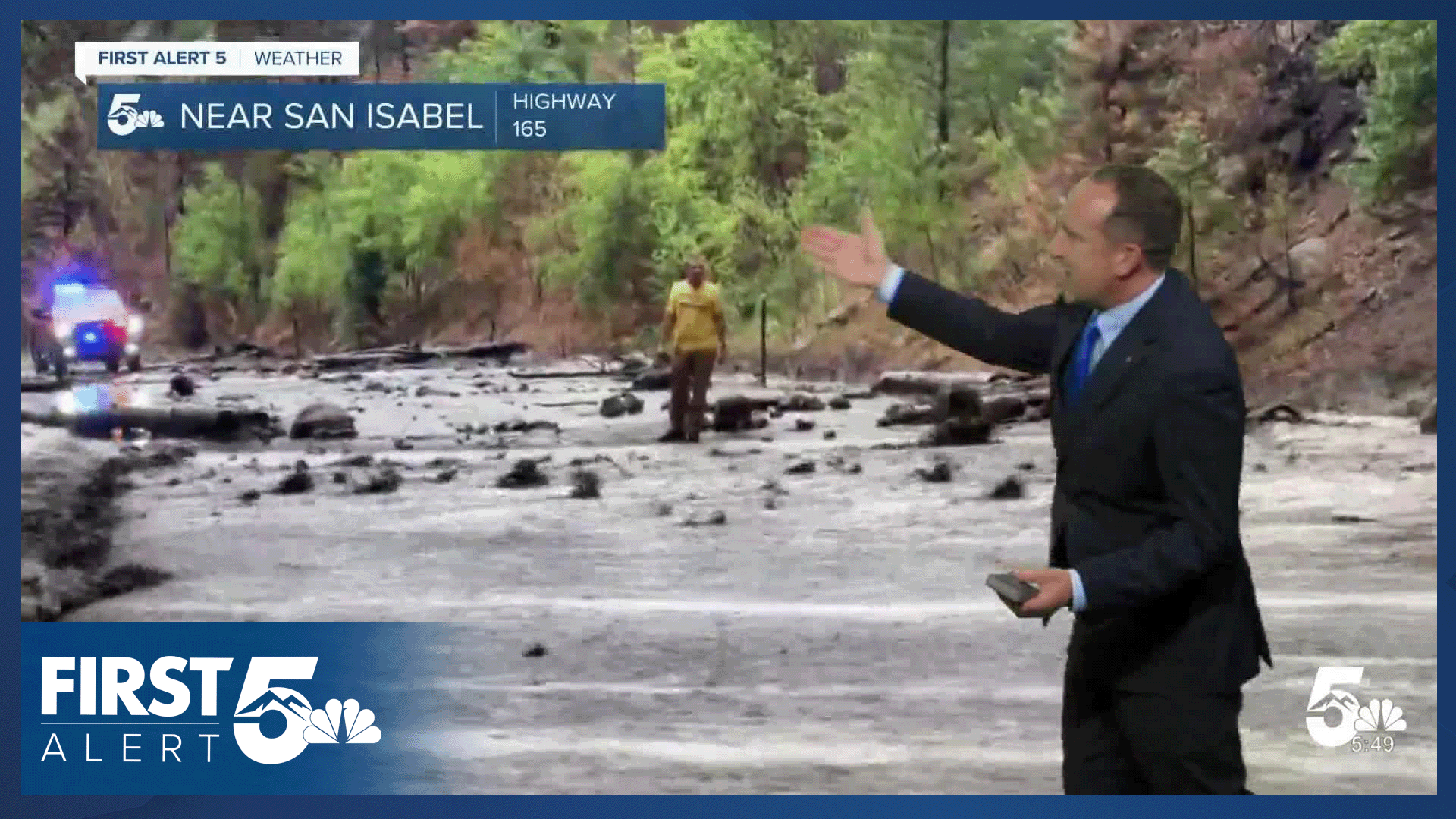
After two days under a Flash Flood Emergency in the Aspen Acres burn scar, we should see a small break from flooding rains on Thursday. The worst of the rain this afternoon and evening will be over the eastern Plains. However, if storms can strengthen closer to the mountains, flooding may become a concern. Stay tuned for updates throughout the day from First Alert 5.
Storms will begin to pulse up in the higher terrain between noon and 2 pm. As storms move east, they may become strong to severe on the Plains. Main threats today will be frequent lightning, 1" hail and wind gusts to 60 mph.
Ahead of a cold front Friday morning, highs will warm by several degrees this afternoon. Temperatures on the Plains will warm into the 90s and lower 100s, with 70s and 80s in the mountains and valleys today.
Colorado Springs forecast: High: 91; Low: 60. After a few days in the 80s, highs will return to the lower 90s this afternoon, which will be warmer than our average high of 86°F. Scattered showers and storms will be possible this afternoon anytime after 1-2 pm. Storms should diminish towards sunset.
Pueblo forecast: High: 98; Low: 64. Hot and muggy weather can be expected on Thursday, with highs soaring into the upper 90s. Scattered showers and thunderstorms will be possible this afternoon after 3 pm, and storms should stay below severe criteria.
Canon City forecast: High: 96; Low: 65. Hot and humid, with a chance for scattered showers and thunderstorms. Rain should less heavy than the past few days, with severe threats also lowering.
Woodland Park forecast: High: 82; Low: 52. Sunshine this morning will give way to mostly cloudy skies and scattered thunderstorms this afternoon. Storms should wind down towards 5-6 pm, with only a slight chance of showers this evening.
Tri-Lakes forecast: High: 80s/90s; Low: 50s. Muggy weather will continue on Thursday, which should allow for scattered showers and thunderstorms to pulse up again this afternoon. Our day looks busiest from 1-5 pm.
Plains forecast: High: 90s/100s; Low: 60s. Storms will reach the Plains towards mid to late afternoon, before exiting the state late this evening. Storms on the Plains today will be capable of 1" hail, 50-60 mph wind gusts, and frequent lightning.
Walsenburg and Trinidad forecast: High: 90s; Low: 60s. Calm skies this morning will give way to scattered showers and thunderstorms this afternoon. This pattern will continue through Friday ahead of drier changes this weekend.
Mountains forecast: High: 70s/80s; Low: 40s/50s. We should see a small break the heavier rain today in the high country as the threat for stronger storms will shift east into the Plains.
Extended outlook forecast:
Friday morning's cold front will drop highs back down to the upper 80s Friday afternoon in Colorado Springs. With better upslope flow in place, showers and thunderstorms will once again have the opportunity to intensify over the mountains and foothills. Storms could become intense enough to produce flooding from the Aspen Acres burn scar to flood prone urban areas.
Drier weather is expected to follow this weekend, with a mixed bag of temperatures ahead for Southern Colorado and the Pikes Peak Region. Highs will warm into the middle 80s on Saturday before rebounding into the lower 90s Sunday. Monday will be even hotter, at 97 degrees in Colorado Springs. Pueblo and Canon City will likely see highs in the triple digits on Monday.
____
Curious about the First Alert 5 Weather Storm Impact Scale? Check out our cheatsheet explainer.
Watch KOAA News5 on your time, anytime with our free streaming app available for your Roku, FireTV, AppleTV and Android TV. Just search KOAA News5, download and start watching.
