

Today’s Forecast:
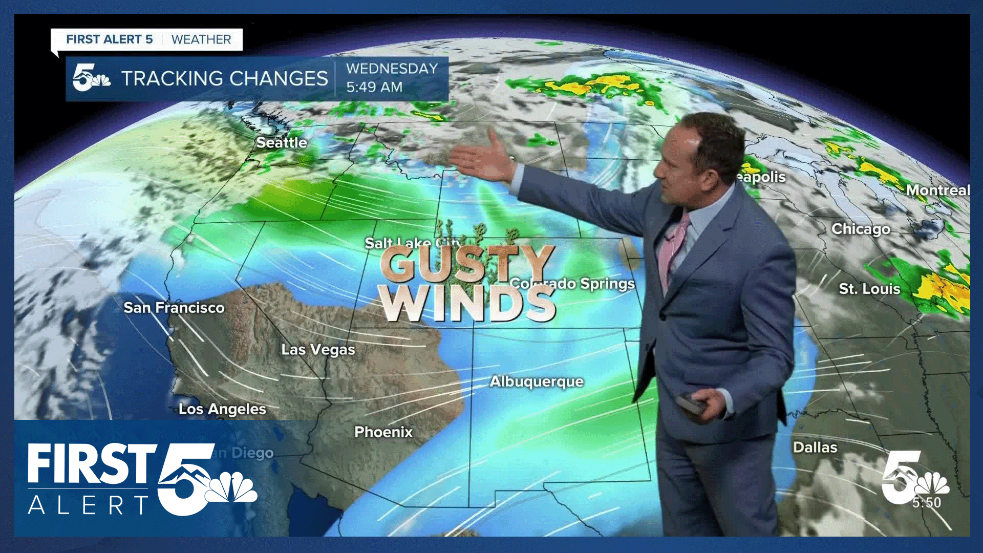
A storm system over the northern Rockies will continue to bring wind to Southern Colorado on Wednesday, with peak gusts today around 30-45 mph. The warm wind will lead to increasing heights in the atmosphere, which means for you and me, hotter temperatures. Highs today will warm into the 90s and 100s on the Plains, with 70s and 80s in Teller County and our mountain valleys.
On top of heat and sunshine on Wednesday, the combining effects of the wind and low relative humidity will spell more fire danger. Red Flag Warnings have been issued for a third consecutive day this week in parts of Southern Colorado.

Colorado Springs forecast: High: 90; Low: 56. Overall today, it will be a nice and bright day for the Pikes Peak Region, but a hot and windy one at that. Peak wind gusts will range between 30 and 40 mph this afternoon.
Pueblo forecast: High: 99; Low: 59. Today's forecast will be hot, dry and windy as our high this afternoon could approach the century mark in some areas.
Canon City forecast: High: 96; Low: 60. Hot and windy weather has prompted another Red Flag Warning on Wednesday for Fremont county, which will remain in effect from 11 am to 8 pm.
Woodland Park forecast: High: 80; Low: 45. The wind that we saw on Tuesday will remain a fixture in our forecast today, with peak gusts in Teller County ranging between 40-45 mph.
Tri-Lakes forecast: High: 80s; Low: 50s. Hot, dry and windy today, with peak gusts this afternoon up around 40 mph.
Plains forecast: High: 90s/100s; Low: 50s/60s. Parts of Southern Colorado will see a return to Red Flag Warning conditions on Wednesday. On the Plains, this will include the following counties: Bent, Prowers and Kiowa.
Walsenburg and Trinidad forecast: High: 90s; Low: 50s/60s. Red Flag Warnings have also been issued on Wednesday for the southern I-25 corridor, with today's strongest gusts expected to occur nearby the foothills and mountains.
Mountains forecast: High: 70s/80s; Low: 40s. The mountain zones on Wednesday will be treated to plenty of sunshine and warmth, but also a lot of wind. Peak gusts this afternoon are expected to range between 40-45 mph.
Extended outlook forecast:
A cold front on Thursday will bring a healthy amount of cooling to our forecast, dropping our highs into the upper 70s. Sunshine will prevail on Thursday, with breezy to gusty north winds in the morning , shifting to the east by the afternoon.
The cool down won't last long as temperatures are expected to rebound back into the upper 80s and lower 90s on both Friday and Saturday. Moisture will slowly increase across the mountains during this time, with a few showers possible in the Pikes Peak Region by Saturday evening. Storms will become more likely Sunday to Monday as highs drop all the way down to the lower 70s in Colorado Springs.
____
Curious about the First Alert 5 Weather Storm Impact Scale? Check out our cheatsheet explainer.
Watch KOAA News5 on your time, anytime with our free streaming app available for your Roku, FireTV, AppleTV and Android TV. Just search KOAA News5, download and start watching.
