



Today’s Forecast:
After warming into the 80s in Colorado Springs and Pueblo on Memorial Day, Tuesday's highs will be cooler on the order of 5-10 degrees. Skies will be mostly cloudy most of the day, with another round of gusty showers and thunderstorms this afternoon and evening. Rain could linger in some areas well past midnight, even into early Wednesday morning.
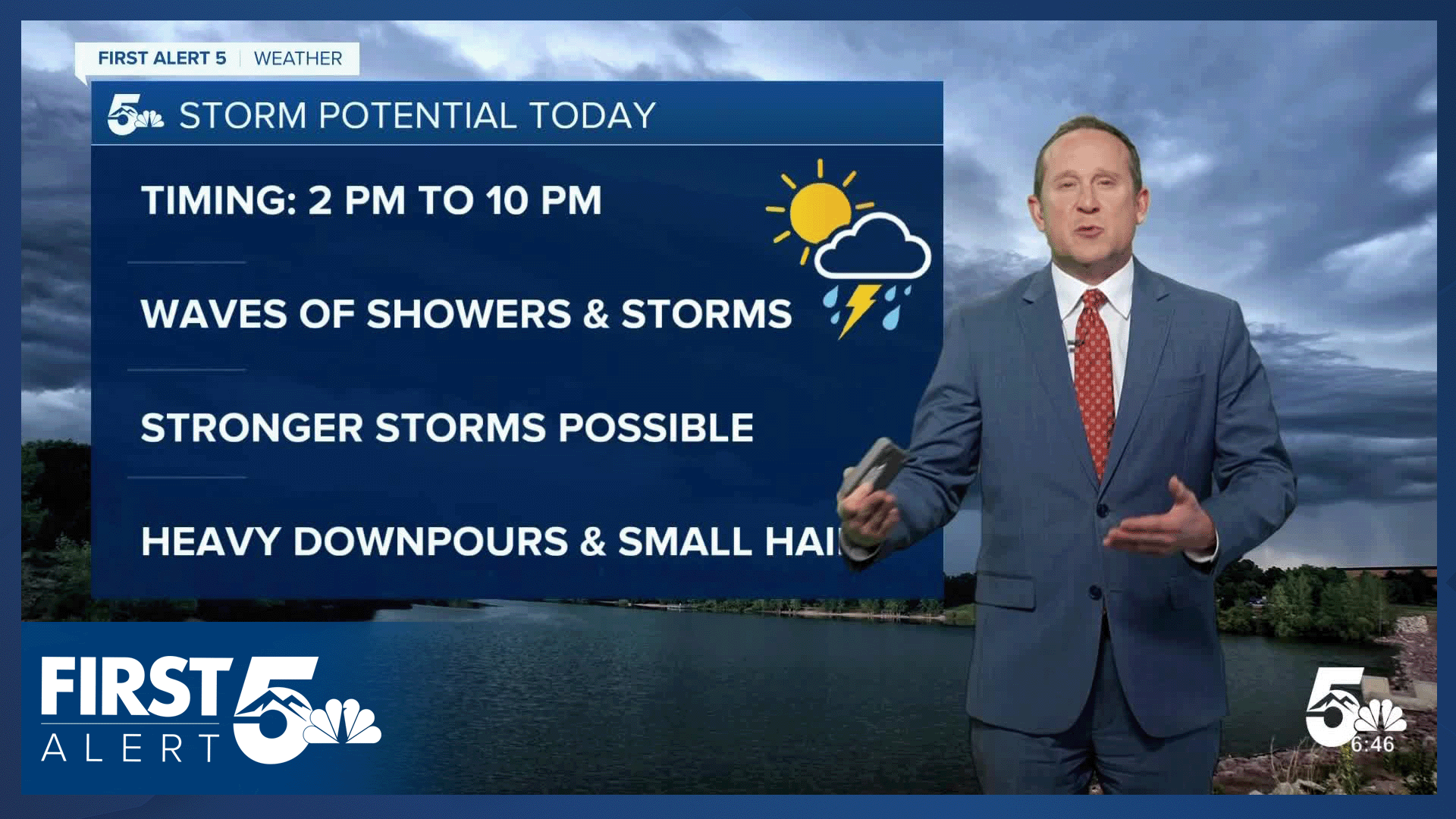
Thunderstorms will be moving from south to north today, rotating around an area of low pressure over Utah. A few storms could be on the strong side today, capable of small hail, frequent lightning, heavy downpours and gusty winds.
Colorado Springs forecast: High: 73; Low: 49. Skies will be mostly cloudy to cloudy on Tuesday, with increasing shower chances after 2 pm. Waves of showers and thunderstorms could continue in some areas until late this evening.
Pueblo forecast: High: 80; Low: 52. Aside from a rogue thunderstorm this afternoon, our best chances for rain will move into Pueblo County this evening, with showers tapering off early Wednesday morning.
Canon City forecast: High: 76; Low: 52. A messy pattern over the western U.S. will spread more numerous showers and thunderstorms towards eastern Fremont County this afternoon and evening. Some models suggest that rain could continue past midnight.
Woodland Park forecast: High: 64; Low: 42. Skies will turn stormy this afternoon, with more numerous showers today compared to what we saw on Memorial Day. Storms today will be capable of small hail, gusty winds, lightning and heavy downpours.
Tri-Lakes forecast: High: 60s/70s; Low: 40s. Mostly cloudy skies will give way to an increased chance for showers and thunderstorms this afternoon and evening. Rain showers could linger well past midnight in northern El Paso County.
Plains forecast: High: 70s/80s; Low: 40s/50s. After some beneficial rain back in some areas on Monday, another round of showers and thunderstorms returns to our forecast on Tuesday, with the potential for rain to linger into Wednesday morning in some areas.
Walsenburg and Trinidad forecast: High: 60s/70s; Low: 40s/50s. After dry skies this morning, storms will begin to pulse up this afternoon, with rain showers diminishing late this evening after sunset.
Mountains forecast: High: 50s/60s; Low: 30s/40s. Your best bet for outdoor recreation in the mountains on Tuesday will come this morning. By as early as the lunch hour, showers and thundestorms begin to form. Although we're not concerned with severe weather today, lightning is always a threat in the mountains this time of the year.
Extended outlook forecast:
Wednesday for now looks to be our wettest day of the week. As a strong low-pressure system parks itself over the Great Basin, it will send enough instability and moisture into Southern Colorado to allow for a stormier and wetter day. Highs will also continue to cool, topping out in the 60s and 70s.
Thursday's forecast is an important one. It's graduation day for the cadets at the United States Air Force Academy. Thursday's forecast will feature additional chances for rain, but storms should be less numerous than what we expect to see on Wednesday. Highs on Thursday will warm into the lower to middle 70s in Colorado Springs, with upper 70s and lower 80s for Canon City and Pueblo.
As the low-pressure system over the Great Basin moves into the northern Rockies, storm chances will lower on Friday, but remain elevated in the mountains. Highs on Friday will warm into the upper 70s and 80s on the Plains. Showers are likely to return this weekend, with dry skies for the morning hours, and scattered thunderstorms for the afternoon hours.
____
Curious about the First Alert 5 Weather Storm Impact Scale? Check out our cheatsheet explainer.
Watch KOAA News5 on your time, anytime with our free streaming app available for your Roku, FireTV, AppleTV and Android TV. Just search KOAA News5, download and start watching.
