

Today’s Forecast:
After a touch of spring this past weekend, highs will cool by a few degrees this afternoon. Temperatures will still be above average by around 10-15 degrees, topping out in the 50s and 60s.
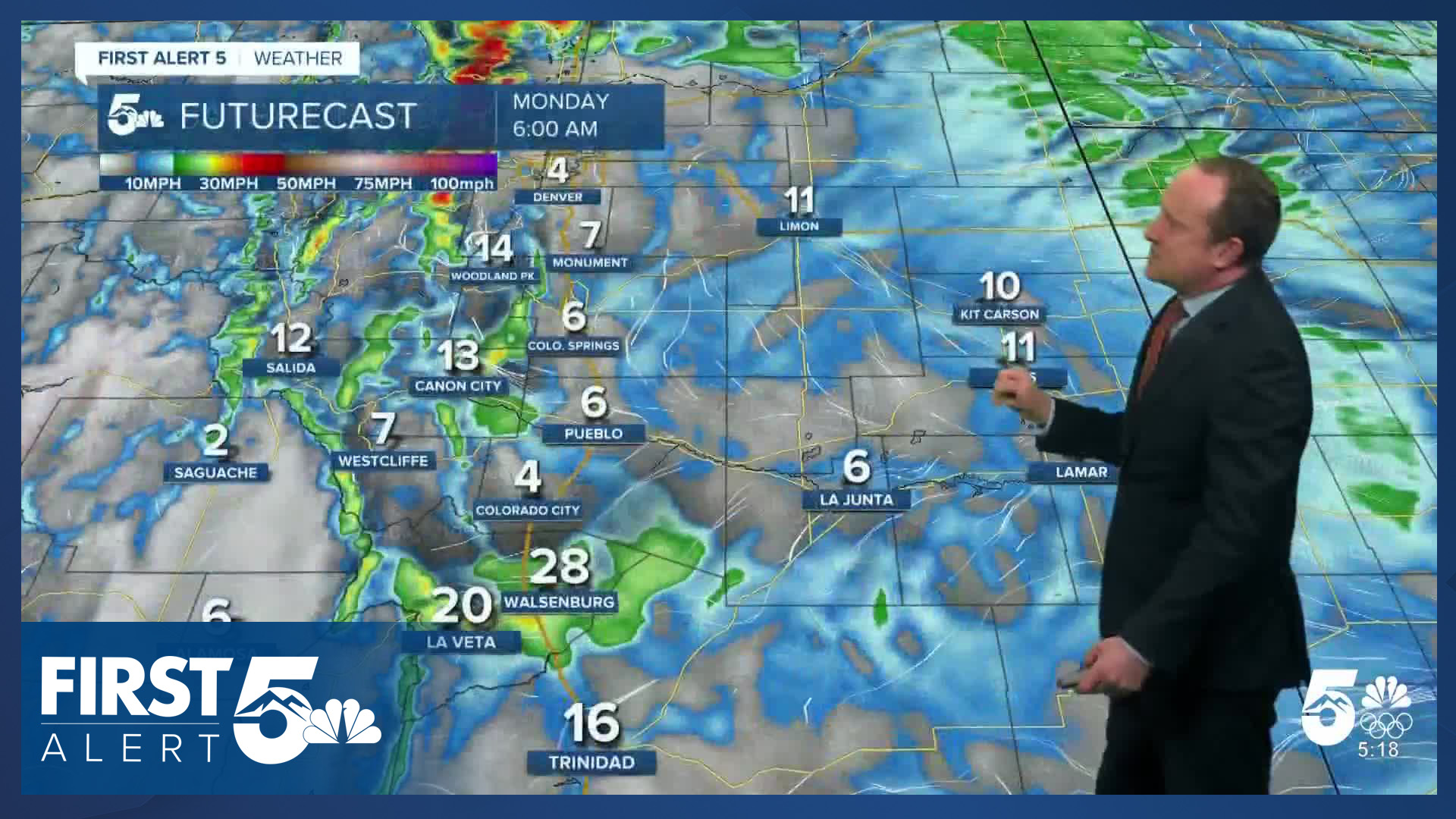
Skies today will be overcast and it will be breezy to gusty as a cold front marches in from the northeast. This morning, we'll see more of a west or northwest wind. Behind the front, the wind will shift out of the north and northeast. Gusts on the eastern Plains will be around 30-35 mph, with 20-30 mph gusts along and near I-25. Snow is not expected region-wide on Monday.
Colorado Springs forecast: High: 57; Low: 25. After warming to 60 degrees on Sunday at the Colorado Springs Airport, highs will be slightly cooler on Monday, topping out in the upper 50s. Westerly wind will turn northerly this afternoon, with peak gusts around 20-30 mph.
Pueblo forecast: High: 62; Low: 22. Breezy westerly winds have kept us warmer than yesterday morning, but as the flow turns northerly this afternoon behind our next cold front, highs will drop by a couple of degrees.
Canon City forecast: High: 61; Low: 28. A mild and breezy start to the week will give way to some mid-week cooling, with highs warming into the 50s both Tuesday and Wednesday.
Woodland Park forecast: High: 50; Low: 20. It will be a pretty nice start to the week in Woodland Park thanks to dry skies and above average highs. Skies will be mostly cloudy and it will be breezy to gusty.
Tri-Lakes forecast: High: 50s; Low: 20s. Although it won't be as sunny as it was on Sunday, our forecast this week will begin with dry skies and above normal temperatures. A weak cold front will cool highs by a few degrees, with wind gusts today up around 20-30 mph.
Plains forecast: High: 50s/60s; Low: 20s. As a cold front sweeps across the eastern Plains this morning, it will bring a quick period of 30-40 mph northerly wind gusts to our forecast through early this afternoon. Highs today will mostly warm into the 60s.
Walsenburg and Trinidad forecast: High: 50S/60s; Low: 20s. The first full week of February will start out on a mild and breezy note. Highs today will warm into the 50s and low 60s.
Mountains forecast: High: 40s; Low: 10s/20s. No snow on Monday for the mountains as storm energy will remain north of Colorado early this week. Today will be partly to mostly cloudy and breezy, with highs this afternoon warming into the 40s.
Extended outlook forecast:
A secondary cold front on Tuesday will continue to cool down our temperatures. Highs on Tuesday will warm to near 50 degrees in Colorado Springs, with 40s for Monument and Woodland Park. It will be breezy again on Tuesday and behind the cold front, there will be a chance for showers Tuesday night. While widespread impacts are not expected, a trace to 1" of snow will be possible for the higher elevations in the Pikes Peak Region. Less than 1" of accumulation is likely in Colorado Springs proper.
Dry skies will return by daybreak Wednesday, with temperatures the coolest of the week. Highs in the Springs will top out in the middle 40s before climbing back to the upper 50s late this week. Lower 60s will follow on Saturday with a return to the upper 50s by Sunday.
____
Curious about the First Alert 5 Weather Storm Impact Scale? Check out our cheatsheet explainer.
Watch KOAA News5 on your time, anytime with our free streaming app available for your Roku, FireTV, AppleTV and Android TV. Just search KOAA News5, download and start watching.
