

Today’s Forecast:
Thursday tied and broke all-time March high temperature records in southern Colorado - with the 81 degree high in Colorado Springs tying the all time high, and the 87 degree high in Pueblo breaking the previous 86 degree record.
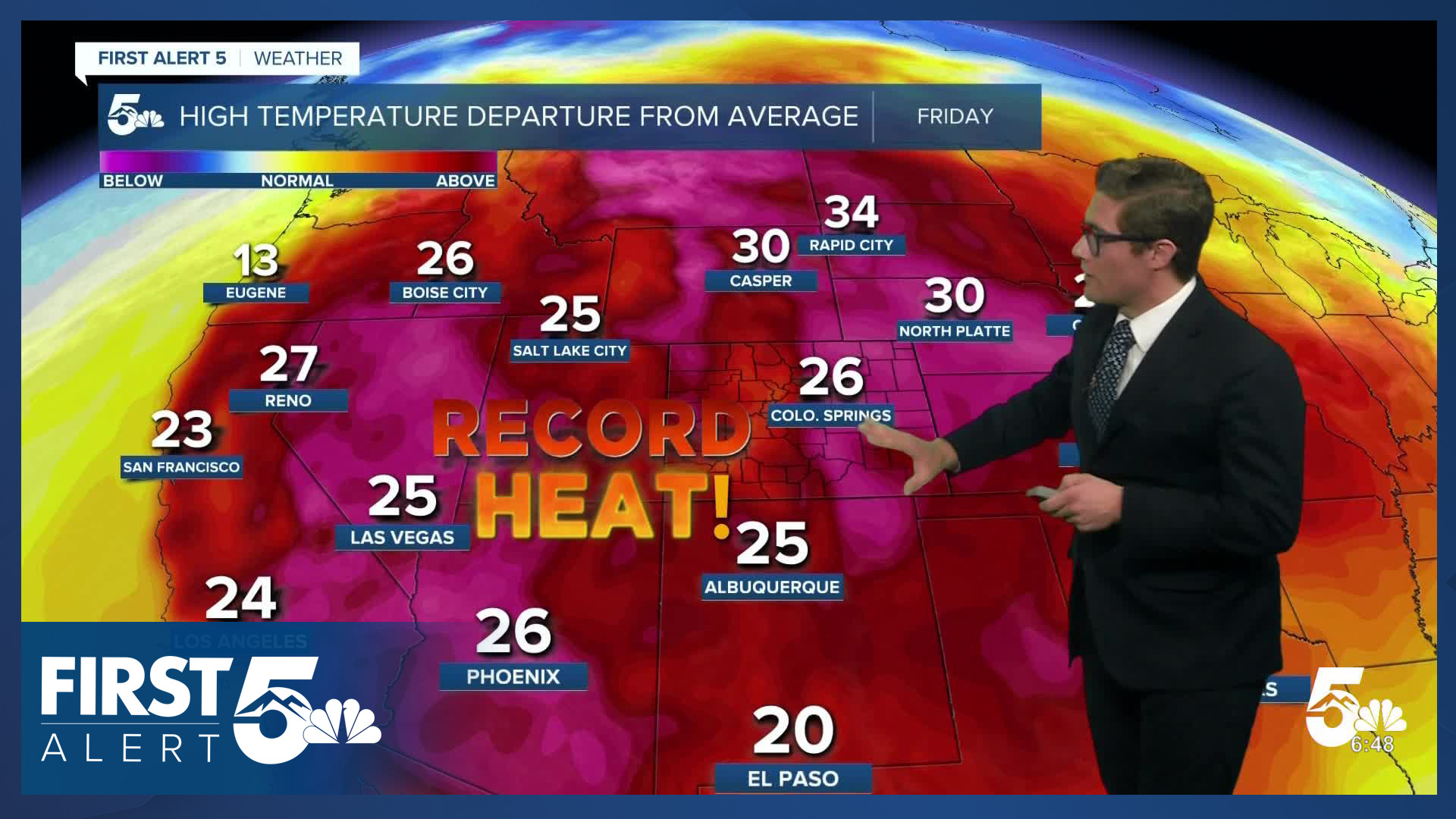
Our large and in charge ridge of high pressure continues to provide more warmth today. We're starting the day mild - with temperatures within 2-4 degrees on either side of where they stood at this time yesterday morning. So you can walk outside with the same layers or lack thereof that you did yesterday. You can once again expect mainly sunny skies, with June to July-like heat today.
Colorado Springs forecast: High: 82; Low: 49.
Sunny and H-O-T today. Since we're tracking summer-like warmth - remember to stay hydrated today if you're planning on spending a longer period of time outside. Also, be prepared for pockets of poor air quality. Our winds this morning are northerly, but they shift out of the south this afternoon. A southerly airflow direction will pull any smoke being generated from the Fort Carson area to the north. If you're particularly sensitive to pollutants or have any respiratory issues, your best bet is to get outside during the morning hours. If we hit 82 or warmer today - we break the all-time March high temperature record.
Pueblo forecast: High: 88; Low: 43.
Very similar to Thursday with record-breaking warmth today in the Steel City. This will be the third time this month with an 80 degree or hotter high in Pueblo.
Canon City forecast: High: 88; Low: 50.
Yesterday was very warm - today will be HOT. West winds this morning, southeast this afternoon, with sunny skies.
Woodland Park forecast: High: 77; Low: 43.
Sunny and very warm, with southwesterly light winds. The start of astronomical spring is going to feel like summer.
Tri-Lakes forecast: High: 80s; Low: 50s.
Sunny and very warm. It'll be a nice day for a walk around Palmer Lake. Remember the sunscreen!
Plains forecast: High: 80s/90s; Low: 40s.
Sunny and HOT. You'll either warm to the upper 80s, or lower 90s. Northwest winds at 10-15 mph.
Walsenburg and Trinidad forecast: High: 85/88; Low: 51/48.
Sunny and warm with downslope breezes this morning shifting upslope in the afternoon.
Mountains forecast: High: 50s/60s; Low: 30s.
Snowmelt sunshine - where there is snow, that is. Westerly morning winds shifting southeast this afternoon. Be prepared for mud on trails if you're hiking today or this weekend, due to the early melt off.
Extended outlook forecast:
Fire Danger will be high on Saturday. Our ridge of high pressure shifts south and our wind direction will turn more westerly and increase in strength. It's been dry and hot for the last several days - and we've seen the results with several fires burning across southern Colorado. Saturday keeps the heat, and dry conditions, but you'll experience more wind. Red Flag Warnings are in place along the southern I-25 corridor and the southern and central mountains from 11:00 AM - 11:00 PM. It is important to avoid outdoor burning, and activities that could spark a wildfire, on Saturday.
A cold front will arrive Sunday. This will increase cloud cover, and means highs Sunday are down about 20 degrees from Saturday's. We begin to warm back up Monday. By mid-week, our ridge rebuilds once again, which means more record-breaking heat returns...more 80 degree days in March. This ridge will be slightly weaker than the one we're currently under, but it is still strong by March standards.
____
Curious about the First Alert 5 Weather Storm Impact Scale? Check out our cheatsheet explainer.
Watch KOAA News5 on your time, anytime with our free streaming app available for your Roku, FireTV, AppleTV and Android TV. Just search KOAA News5, download and start watching.
