


Tonight's Forecast:
As the wind dies down early this evening, we should see our current Red Flag Warnings come to an end no later than 8 pm. Heading into the overnight hours, a dry cool front will drop in from the north, and bring a quick burst of gusty northerly winds to the Plains. Expect overnight gusts in some areas to reach 20-30 mph.
Colorado Springs forecast: Low: 52; High: 80; After a full week of high fire danger, we're expecting a more relaxed day on Sunday. The wind will be weaker, but the warmth will continue, with a high up near 80°.
Pueblo forecast: Low: 51; High: 86; Less windy, but just about as warm as what we saw today. High will be around 8-12 degrees above average for this time of the year.
Canon City forecast: Low: 53; High: 83; Mostly sunny and not as windy on Sunday. Fire danger threat may be elevated at times tomorrow, but isn't expected to reach critical Red Flag Warning criteria for an extended part of time.
Woodland Park forecast: Low: 42; High: 72; A break from the high fire danger Monday as a lot less wind is expected across Teller County. Even though it won't be super windy, southwest winds will be breezy at times by the afternoon hours, gusting from 20-25 mph.
Tri-Lakes forecast: Low: 40s; High: 70s; Warm and mainly dry again on Sunday, with highs expected to climb into the middle to upper 70s. Breezy to gusty northeasterly winds tomorrow could gust as high as 20-25 mph.
Plains forecast: Low: 40s/50s; High: 70s/80s; Although it will be breezy to gusty over the eastern Plains on Sunday, relative humidity values should stay above Red Flag Warning thresholds in most areas to avoid the threat of widespread high fire danger conditions.
Walsenburg and Trinidad forecast: Low: 40s/50s; High: 70s/80s; A warm and breezy end to the weekend, with no sign of rain on Sunday for the southern I-25 corridor.
Mountains forecast: Low: 30s/40s; High: 60s; A mild and sunny start to our Sunday will give way to a breezy mix of sun and clouds by the afternoon. An isolated shower will be possible over the mountains by the afternoon, but chances appear to be pretty weak at this point.
Extended outlook forecast:
Fire danger is likely to ramp up early next week over the mountains and mountain valleys, while at the same time, a few thunderstorms could return to the forecast over the eastern Plains. Temperature wise, we'll be on the warm side of average most of next week, with breezy to windy afternoons and a possible uptick in the fire weather threat by next Thursday or Friday.
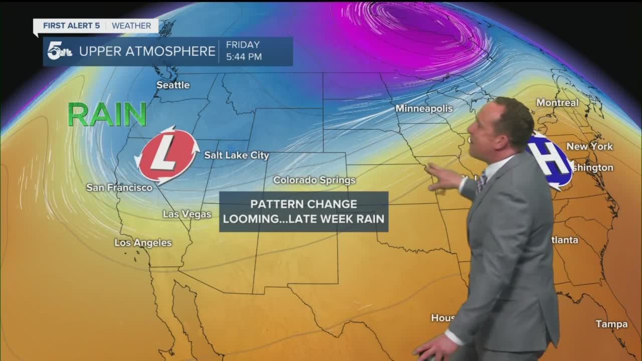
Looking out towards next weekend...there's the potential for a deeper trough of low pressure to dig into Southern Colorado. While confidence is low this far out, this could mean a much cooler forecast and a better supply of much needed moisture for our region. Stay tuned!
____
Curious about the First Alert 5 Weather Storm Impact Scale? Check out our cheatsheet explainer.
Watch KOAA News5 on your time, anytime with our free streaming app available for your Roku, FireTV, AppleTV and Android TV. Just search KOAA News5, download and start watching.
