

Today’s Forecast:
Warmer than average highs on Monday will be significantly cooler in the mid-week period, thanks to a strong cold front that moves into the state this evening. Ahead of the front, temperatures will warm into the 70s and 80s on the Plains today, with 60s for Teller County and the mountain valleys.
Dry skies this morning will give way to scattered showers late this afternoon, with a better chance for rain late this evening. Storms should stay sub-severe for most areas, with only a small risk of severe weather over the eastern Plains today. Snow levels late tonight are expected to lower down to 9,000 to 10,000 feet.
Colorado Springs forecast: High: 77; Low: 48. Our work week will begin with above average highs and increasing chances for rain and thunderstorms late this afternoon and evening. A strong cold front that arrives early this evening, with bring significantly cooler weather on Tuesday.
Pueblo forecast: High: 85; Low: 51. Dry skies this morning will give way to a warm and mainly dry afternoon, with increasing chances for rain this evening and again on Tuesday.
Canon City forecast: High: 81; Low: 51. With rain and thunderstorms in the forecast late this afternoon and evening, grab the rain gear when you head out for the day. Rain could be heavy at times this evening.
Woodland Park forecast: High: 68; Low: 38. A mild start to the week will give way to a much cooler day on Tuesday as rain and snow is likely to fall across Teller County during the next 24-48 hours.
Tri-Lakes forecast: High: 70s; Low: 40s. The final few hours of summer ahead of today's 12:19 pm Autumnal Equinox will be quiet. A cold front that moves into the Palmer Divide this evening will increase chances for rain and thunderstorms tonight into Tuesday.
Plains forecast: High: 80s; Low: 50s. A very warm start to the week will give way to rain and thunderstorms tonight, and some much cooler temperatures Tuesday. As for today, there's a small chance that storms could reach severe criteria.
Walsenburg and Trinidad forecast: High: 70s/80s; Low: 40s. Energy coming from our west will bring chances for rain and thunderstorms on Monday to the southern I-25 corridor. Storms should not reach severe criteria.
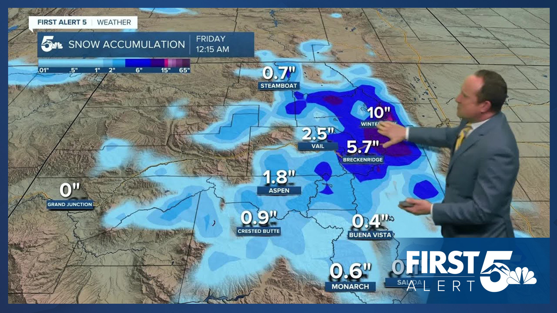
Mountains forecast: High: 50s; Low: 30s. Rain and snow showers will increase across the high country on Monday as a strong disturbance drops into the state from the northern Rockies. By late tonight, snow levels will fall as low as 9,000 feet.
Extended outlook forecast:
Tuesday looks cloudy, cool and unsettled. On top of highs in the 50s and 60s, and sweater weather, we can expect periods of rain and gusty north winds. Peak gusts on Tuesday will range between 20-30 mph, with locally stronger gusts on the eastern Plains.
Areas of frost will be possible by Wednesday morning in the mountain valleys and higher elevations. In Colorado Springs, morning temperatures will start out in the lower to middle 40s. Highs Wednesday will rebound into the upper 60s, followed by upper 70s and sunshine late this week.
____
Curious about the First Alert 5 Weather Storm Impact Scale? Check out our cheatsheet explainer.
Watch KOAA News5 on your time, anytime with our free streaming app available for your Roku, FireTV, AppleTV and Android TV. Just search KOAA News5, download and start watching.
