

Tonight's Forecast:
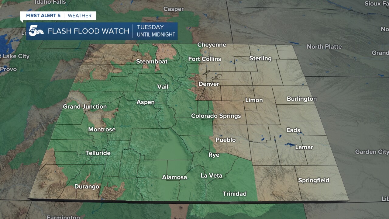
Heavy mountain showers and thunderstorms will be possible through late tonight, with a Flash Flood Watch in effect until midnight for the higher elevations. Storms are not expected to move too far from the mountains tonight, with only a few isolated showers possible along the I-25 corridor by Tuesday morning. Areas east of the mountains will instead be forced to deal with wildfire smoke and enhanced levels of ozone. An Air Quality Alert will remain in effect for the Front Range, I-25 corridor and eastern Plains until 9 am Tuesday.
COLORADO SPRINGS: Low: 58; High: 78. The monsoon flow is expected to bring a better chance of rain to the Pikes Peak Region on Tuesday. Our flood risk isn't going to be as high as this past weekend, but we can't rule out localized flooding in some areas that see those heavy downpours.
PUEBLO: Low: 61; High: 83. With monsoon moisture moving farther east on Tuesday, we're expecting more widespread showers and thunderstorms to develop by the afternoon, with the potential for periods of heavy rain into Tuesday night.
CANON CITY: Low: 63; High: 80. Periods of heavy rain and slow-moving thunderstorms will bring the potential of flash flooding to Fremont County again on Tuesday. A Flash Flood Watch will go into effect in the Canon City area at noon, and continue until midnight.
WOODLAND PARK: Low: 51; High: 68. Teller County will be under the gun for heavy rainfall and strong storms capable of producing flash flooding on Tuesday. Storms will get going between 12-3 pm, and could continue well into Tuesday night.
TRI-LAKES: Low: 50s; High: 70s. Afternoon showers and storms will be more widespread on Tuesday than the past couple of days, with the potential for heavy rainfall at times through late Tuesday night.
PLAINS: Low: 50s/60s; High: 80s/90s. Smoky and hazy skies will continue across the Plains, especially for areas along the eastern border. A few isolated storms may develop by Tuesday night, with the best chances for rain in the Plains along and south of Highway 50.
WALSENBURG/TRINIDAD: Low: 50s; High: 70s/80s. The potential for heavy rain will return to the southern I-25 corridor on Tuesday, with a Flash Flood Watch set to go into effect at noon. Make sure that you stay tuned to the forecast and have a way to receive weather alerts as storms roll into the area.
MOUNTAINS: Low: 40s/50s; High: 60s/70s. We're expecting another big day of storms in the mountains as monsoon moisture helps to generate widespread showers and thunderstorms. The mountains and mountain valleys run the risk of burn scar flooding, as well as flooding of roadways, creeks and streams.
Extended Outlook:
Showers and storms will remain in the forecast on Wednesday for parts of Southern Colorado. This will mainly be for the mountains, mountain valleys and the Plains south of Highway 50. Drier skies will return for the second half of the week as high pressure expands into Colorado from the western U.S. This will bring a warming trend to the forecast as we head into the weekend.
KOAA News5 on your time, streaming on your Roku, FireTV, AppleTV and AndroidTV.
News5 App | First Alert 5 Weather App | Youtube | Facebook | Instagram | Twitter
