

Today’s Forecast:
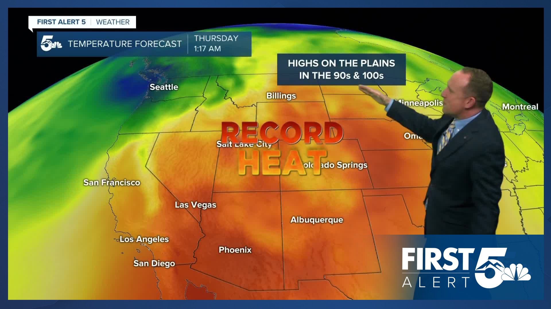
The first week of August is going to be hot, with highs each afternoon around 8-12 degrees above average. A strong dome of high pressure over the Four Corners Region will bring the heat, with little change to this pattern through the end of the week. Highs on Tuesday will top out in the 90s and 100s on the Plains, with 80s in the mountain valleys.
Areas of smoke and haze moving underneath the heat ridge will continue to impact our air quality on Tuesday. Smoke will increase this afternoon and evening, and is being generated from big blazes burning in California, Arizona, Utah and western Colorado.
Colorado Springs forecast: High: 95; Low: 61. Hot, with areas of smoke and haze on Tuesday. Our high today of 95 degrees will be more than 5 degrees warmer than yesterday. Current record: 93 (1980).
Pueblo forecast: High: 102; Low: 63. Today will be our first day of triple digit heat this month, and for the rest of the week, this will become the norm. Our high today of 102 degrees could be hot enough to tie the current record of 102, last set in 2022.
Canon City forecast: High: 99; Low: 63. After a very warm start to the week, sizzling heat will settle into our forecast starting on Tuesday as highs this afternoon top out near the century mark.
Woodland Park forecast: High: 84; Low: 54. If you're looking for an escape from the 90s and 100s, highs in the 80s today in Teller County will be a slight improvement. For residents here without air conditioning, this is going to be hotter than what we're used to seeing.
Tri-Lakes forecast: High: 80s/90s; Low: 50s/60s. Toasty Tuesday temperatures will unfortunately be accompanied by more smoke and haze as westerly flow aloft transports wildfire smoke into Southern Colorado.
Plains forecast: High: 90s/100s; Low: 60s. After some pretty nasty storms on Monday, skies will dry out today as high pressure expands across the region. It will be hot, hazy and breezy today, with gusts to 35 mph.
Walsenburg and Trinidad forecast: High: 90s; Low: 60s. Tuesday's forecast will be hot, hazy and breezy on the southern I-25 corridor, with gusts today up around 30 mph.
Mountains forecast: High: 80s; Low: 40s/50s. Warm and hazy, with areas of smoke today across our state's many mountain ranges. While we won't likely meet Red Flag Warning criteria in the Sangres and Wet Mountains today, the central, northern and western mountains will all see high fire danger.
Extended outlook forecast:
With little change in our weather pattern through the end of the week, each afternoon will be sizzling hot. Our daily highs in Colorado Springs will climb into the middle 90s, with lows only cooling down to the lower to middle 60s. That's not much relief and folks without air conditioning will need to be mindful of the heat and find ways to keep cool. On the eastern Plains, highs each day will climb into the triple digits. This also includes Pueblo, where highs will be between 102 and 104 through the rest of the week.
On Wednesday, a weak disturbance will bring a small chance of a few showers to the mountains and Pikes Peak Region in the afternoon. For now, any showers that do form look to favor higher elevation areas. Dry skies should persist for the rest of the week ahead of a cold front Saturday that will drop highs back down to the 80s in Colorado Springs this weekend. Saturday for now looks dry, with showers possible both Sunday and next Monday.
____
Curious about the First Alert 5 Weather Storm Impact Scale? Check out our cheatsheet explainer.
Watch KOAA News5 on your time, anytime with our free streaming app available for your Roku, FireTV, AppleTV and Android TV. Just search KOAA News5, download and start watching.
