



Today’s Forecast:
This week has been a wild ride so far, with record breaking highs on Monday giving way to our coolest temperatures of the summer yesterday. Highs in many areas dropped as much as 20-25 degrees.
Temperatures have been cool and comfortable this morning. By the afternoon, highs are expected to rebound into the 80s and 90s, which will put most areas with a few degrees of average.
After cloudy skies and areas of fog this morning, we should clear to hazy sunshine this afternoon. Rain showers will be fairly limited today in Southern Colorado, with the the best chances for rain over the southern mountains, southern I-25 corridor and San Luisa Valley. We could also pop a storm this evening on the far eastern Plains.
Colorado Springs forecast: High: 85; Low: 57. Yesterday's high in the upper 70s was our coolest day since June 11. Today will be warmer, with hazy sunshine and dry skies this afternoon.
Pueblo forecast: High: 90; Low: 60. Yesterday's high of 82 degrees was our coolest day since June 2. Today's highs will rebound into the lower 90s, which is just a couple of degrees below the average high.
Canon City forecast: High: 89; Low: 61. Hazy sunshine and areas of smoke will continue to impact air quality in Canon City on Wednesday. It will remain Unhealthy for Sensitive Groups. Avoid spending a lot of time outside today if you suffer from any upper respiratory illnesses.
Woodland Park forecast: High: 79; Low: 50. Warm, with hazy sunshine and areas of smoke on Wednesday. Highs in Teller County today will top out in the 70s.
Tri-Lakes forecast: High: 80s; Low: 50s. While not as cool as yesterday, highs today will be fairly comfortable, especially compared to the heat in your forecast late this week and this weekend.
Plains forecast: High: 80s/90s; Low: 50s/60s. Yesterday's cool down will give way to another round of heat late this week and weekend. Today will be a transition day, with morning clouds giving way to hazy sunshine, and near average highs.
Walsenburg and Trinidad forecast: High: 80s/90s; Low: 50s. After a nice cool down on Tuesday, highs will slowly warm this afternoon before another heat wave late this week. Areas south of Highway 50 will see small chance of rain today, mainly tied to the higher terrain.
Mountains forecast: High: 60s/70s; Low: 40s/50s. Haze and smoke will continue to impact air quality today in the mountains and mountain valleys. Periods of thicker smoke will be possible this afternoon and evening, and again on Thursday.
Extended outlook forecast:
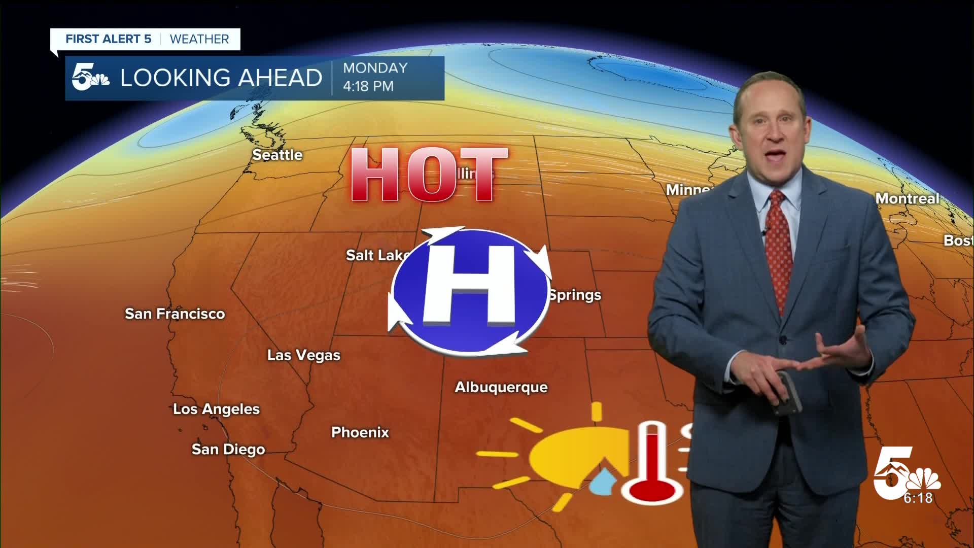
As high pressure builds back into the Rocky Mountain states late this week, our weather will turn hot. We can expect highs in Colorado Springs in the lower 90s on Thursday, with middle to upper 90s from Friday through next Monday. Each of these afternoons, there's the potential for record breaking heat at the Colorado Springs Airport. In Pueblo and the southeasterm Plains, highs could reach triple digits for at least four consecutive days.
Longer range models are hinting at cooler and wetter changes towards the middle of next week, and for now, I've re-introduced a chance of afternoon thunderstorms to our forecast starting next Tuesday.
____
Curious about the First Alert 5 Weather Storm Impact Scale? Check out our cheatsheet explainer.
Watch KOAA News5 on your time, anytime with our free streaming app available for your Roku, FireTV, AppleTV and Android TV. Just search KOAA News5, download and start watching.
