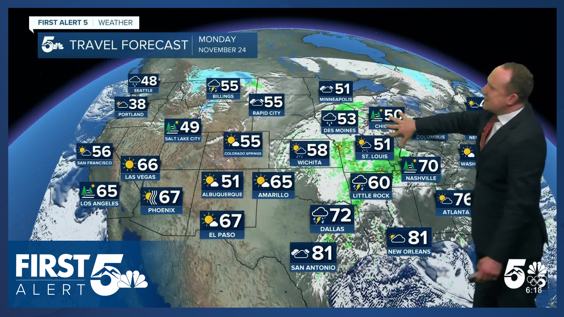


Today’s Forecast:
After record breaking rainfall in Colorado Springs on Sunday and snow in the mountains and higher elevation areas of the Pikes Peak Region, quiet weather will resume on Monday. Skies will clear out this morning. With high pressure to our west and a storm crossing the northern U.S. today, we will see a lot of sunshine and warming highs. Afternoon highs will warm into the 50s and 60s on the Plains, with 40s in the mountains and mountain valleys.
Lows tonight will cool down 10s, 20s and 30s.
Colorado Springs forecast: High: 55; Low: 29. After more than 1" of rain fell yesterday in parts of Colorado Springs, today's weather will be bright, mild and quiet across the Pikes Peak Region.
Pueblo forecast: High: 60; Low: 27. Yesterday's rainy and cool weather will give way to a bright and mild Monday afternoon, with our high today climbing to near 60 degrees.
Canon City forecast: High: 58; Low: 31. It will be a beautiful start to Thanksgiving week in eastern Fremont County, complete with sunshine and mild highs in the upper 50s.
Woodland Park forecast: High: 47; Low: 20. After a couple of snowstorms this past weekend, sunshine will return to Teller County early this week, with highs today in the upper 40s.
Tri-Lakes forecast: High: 40s/50s; Low: 20s. Mild and sunny weather this afternoon will help to melt away the snow that fell last night in northern El Paso County. Skies will remain mostly clear tonight, with lows dropping down to the 20s.
Plains forecast: High: 50s/60s; Low: 20s/30s. A few lingering showers over the eastern counties this morning will give way to a sunny and mild afternoon as highs today top out in the 50s and lower 60s.
Walsenburg and Trinidad forecast: High: 50s; Low: 20s/30s. Skies will be dry on Monday, with no significant weather impacts for holiday travel in the early week period.
Mountains forecast: High: 40s; Low: 10s/20s. After some much needed snow in the mountains this past weekend, skies will be bright and beautiful on Monday. The wind will be coming out of the northwest today, sustained between 10-15 mph.
Extended outlook forecast:
A dry cold front will drop into Southern Colorado on Tuesday. While the front won't bring us any rain or snow, it will drop highs on Tuesday by as much as 10-15 degrees. Temperatures will warm into the middle 40s on Tuesday in Colorado Springs and the upper 40s on Wednesday. Highs will rebound into the 50s late this week, with gorgeous weather from Thanksgiving into Black Friday.
A much stronger storm will approach the area this weekend, with our first big cold snap of the season on the way for Southern Colorado. Highs will only warm into the 30s and 40s on the Plains on Saturday, and the 20s and 30s on Sunday. Snow showers will be possible at times this weekend as well, with some models showing the potential for snow by as early as late Friday night.
____
Curious about the First Alert 5 Weather Storm Impact Scale? Check out our cheatsheet explainer.
Watch KOAA News5 on your time, anytime with our free streaming app available for your Roku, FireTV, AppleTV and Android TV. Just search KOAA News5, download and start watching.
