


Tonight's Forecast:
Thunderstorms, some of which could be on the strong side, will continue for the mountains and I-25 corridor until around 8 pm. For the eastern Plains, thunderstorms may linger a few hours after sunset as storms progress from west to east towards the Kansas border. Some t-storms over the eastern Plains could possibly reaching severe criteria due to gusty outflow winds and large hail.
After midnight, drier air will settle in as temperatures cool down to the 50s and 60s.
Colorado Springs forecast: Low: 62; High: 93; High pressure will dry us out on Sunday, with above average highs and a break from the threat of daily thunderstorms.
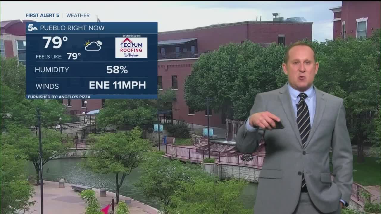
Pueblo forecast: Low: 65; High: 100; Dry skies will return Sunday after a stormy start to the weekend, and along with the heat, we're expecting what could be our fifth consecutive day with triple digit temperatures.
Canon City forecast: Low: 66; High: 95; Mostly sunny to partly cloudy and hot on Sunday as the thunderstorm threat pushes back west towards the Continental Divide.
Woodland Park forecast: Low: 55; High: 82; Sunday is shaping up to be an absolutely gorgeous day across Teller County, with dry skies and warmer than average highs in our forecast.
Tri-Lakes forecast: Low: 50s/60s; High: 80s/90s; We'll be feeling the heat on Sunday as we're looking at a much brighter and drier end to the weekend than what we saw today.
Plains forecast: Low: 60s; High: 90s; After a stormy Saturday evening, a strengthening ridge of high pressure will allow for a calmer, but hot end to the weekend for the Plains.
Walsenburg and Trinidad forecast: Low: 50s/60s; High: 80s/90s; Considerably calmer and hot on Sunday, with just an isolated chance of a daytime shower or thunderstorm over the southern I-25 corridor.
Mountains forecast: Low: 40s/50s; High: 60s/70s; A nice and sunny morning for the mountains, followed by a few isolated showers or thunderstorms by the afternoon. Storms on Sunday will favor areas along and west of the Continental Divide much more than what we saw today.
Extended outlook forecast:
Some serious sizzle will continue on Monday, with 90s and 100s for the Plains and I-25 corridor. In Pueblo, our expected high temperature of 104° could come within a degree of setting an all new daily record high. After a few drier days for the Plains, the monsoon flow will expand back to the east. This will help to increase rain chances by the middle to end of next week as the summer sizzle lives on.
____
Curious about the First Alert 5 Weather Storm Impact Scale? Check out our cheatsheet explainer.
Watch KOAA News5 on your time, anytime with our free streaming app available for your Roku, FireTV, AppleTV and Android TV. Just search KOAA News5, download and start watching.
