

Tonight's Forecast:
A FROST ADVISORY (blue) and FREEZE WARNING (purple) will be in effect from midnight until 8 am on Tuesday morning. Cover sensitive vegetation, bring in potted plants. Do not run your sprinkler systems.

Colorado Springs forecast: Low: 32; High: 54;
FROST ADVISORY until 8 am. Tuesday will be mostly cloudy with rain showers likely in the late afternoon and evening.
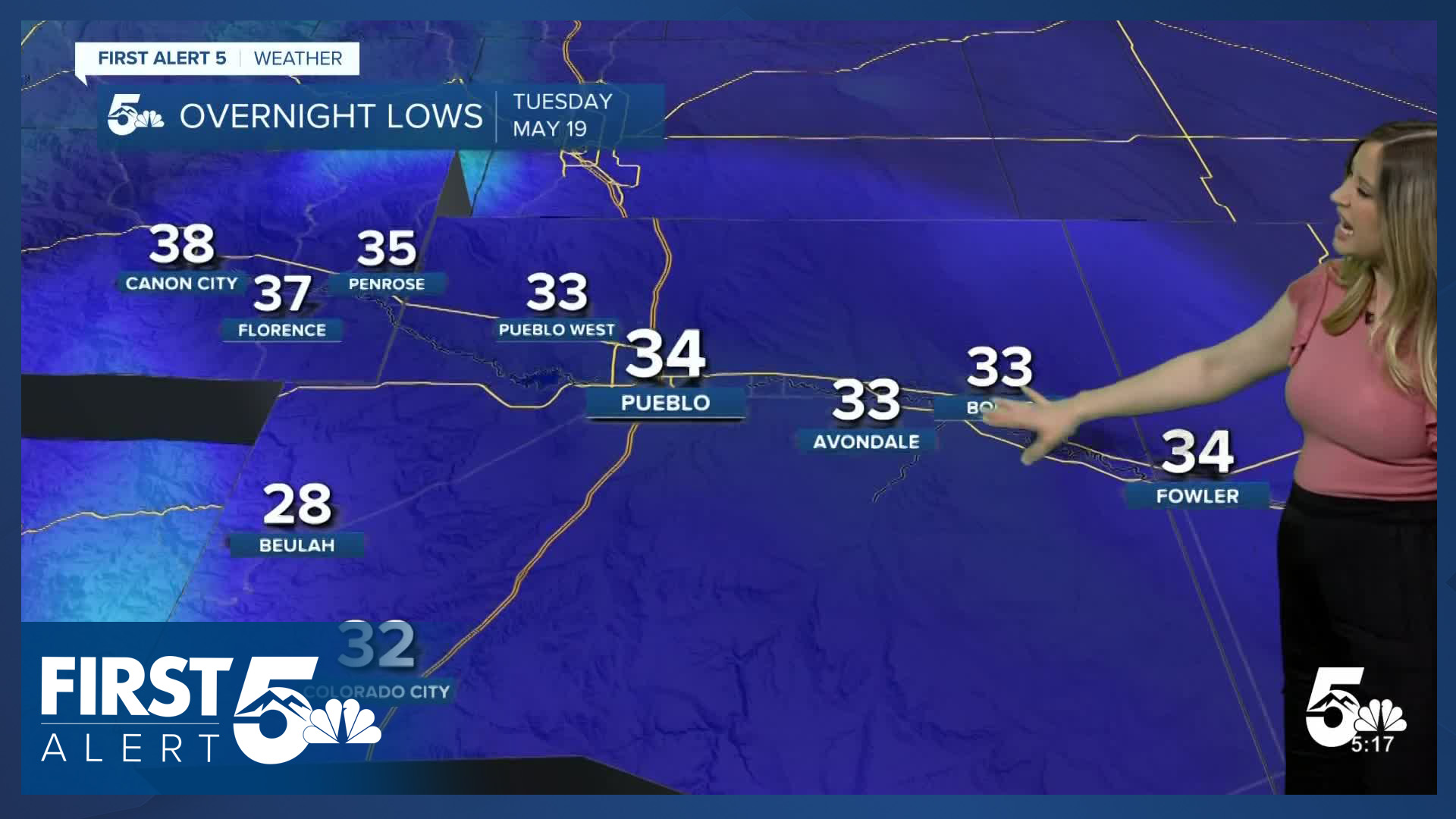
Pueblo forecast: Low: 34; High: 61;
FROST ADVISORY until 8 am. It will be partly to mostly cloudy on Tuesday with rain showers possible in the evening.
Canon City forecast: Low: 38; High: 54;
It will be partly to mostly cloudy and cool on Tuesday. Rain showers are possible in the late afternoon and evening.
Woodland Park forecast: Low: 26; High: 47;
It will be partly cloudy to mostly cloudy and cold on Tuesday. A wintry mix is possible in the mid-afternoon and evening. Light snow accumulations are possible through early Wednesday morning.
Tri-Lakes forecast: Low: 28; High: 48;
FREEZE WARNING until 8 am. Cool with clouds most of the day on Tuesday. Rain showers and even a brief wintry mix are possible in the late afternoon and evening.
Plains forecast: Low: 30s; High: 60s;
FROST ADVISORY until 8 am for the counties highlighted in blue above. It will be partly to mostly cloudy on Tuesday. Rain showers are possible in the evening, favoring the plains closer to I-25.
Walsenburg and Trinidad forecast: Low: 34/34; High: 58/67;
FROST ADVISORY until 8 am. It will be a much cooler day with partly to mostly cloudy conditions. Rain showers are possible in the late afternoon and evening.
Mountains forecast: Low: 20s-30s; High: 40s-70s;
It will be partly to mostly cloudy on Tuesday with highly variable temperatures; it will be mild in the San Luis Valley and chilly elsewhere. In the afternoon and evening, showers will develop with rain and a wintry mix in the lower mountain valleys to snow above about 9,000 feet. Snow accumulations will be light, generally less than an inch below 10,000 feet.
Extended outlook forecast:
Wednesday is shaping up to be a wet day with slightly warmer temperatures compared to Tuesday. After some morning showers, there will be a brief break in precipitation before more widespread rain and thunderstorms develop in the afternoon and evening.
Temperatures continue to slowly climb each day heading into Memorial Day weekend. Afternoon rain and thunderstorm chances remain with us through the end of the week, and into the weekend as well.
____
Curious about the First Alert 5 Weather Storm Impact Scale? Check out our cheatsheet explainer.
Watch KOAA News5 on your time, anytime with our free streaming app available for your Roku, FireTV, AppleTV and Android TV. Just search KOAA News5, download and start watching.
