

Today’s Forecast:
The first in a succession of cold fronts has swept through Colorado this morning. Its impacts will be felt today as high temperatures are expected to cool by as much as 8-12 degrees region-wide. Temperatures on the Plains will top out in the 50s and 60s.
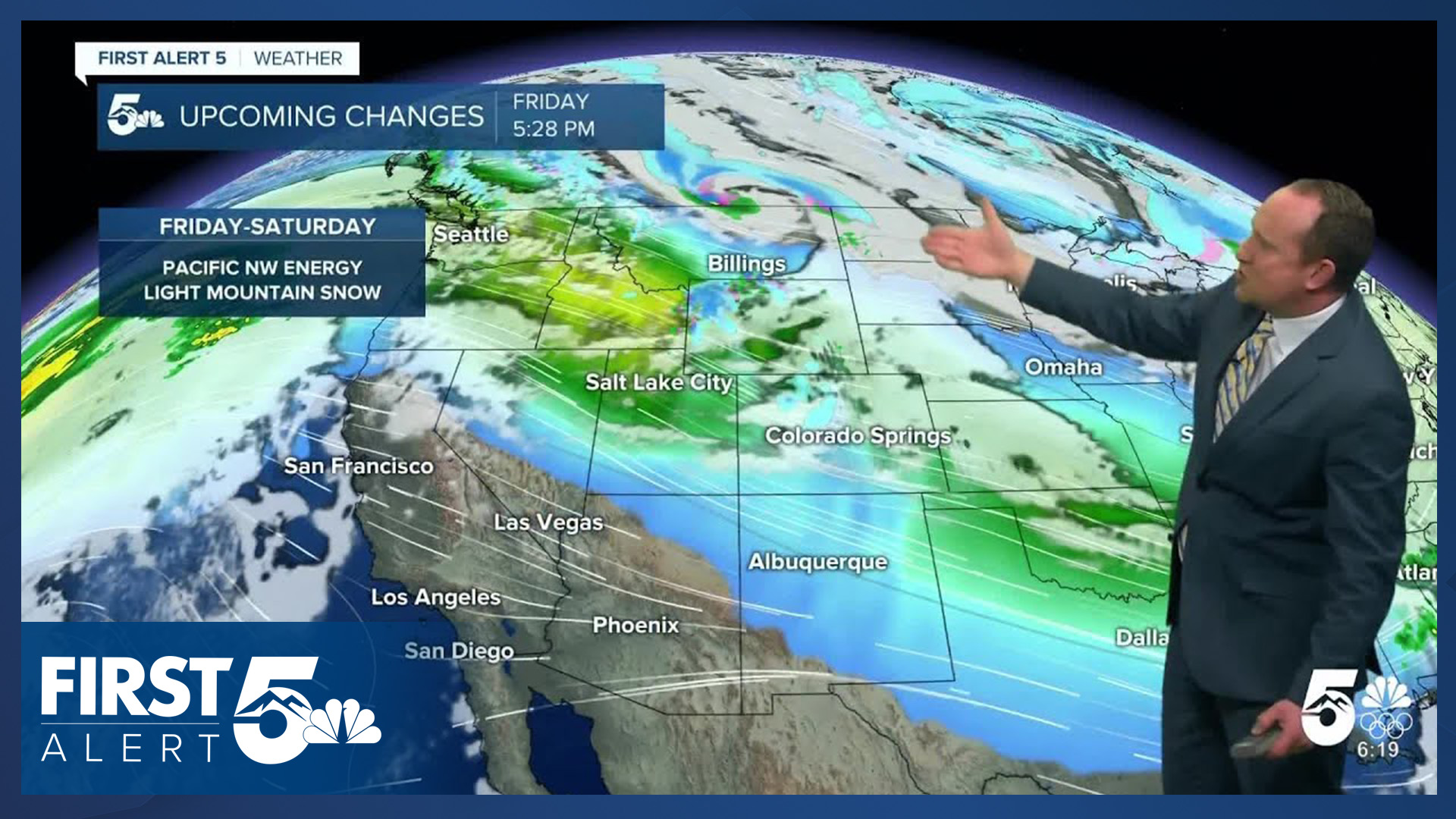
It will continue to be breezy today as the wind turns out of the S/SW this afternoon, with peak gusts up around 15-25 mph.
Colorado Springs forecast: High: 59; Low: 32. Cooler temperatures will return to the Pikes Peak Region on Friday as highs cool from the 70s that we saw on Thursday to the upper 50s this afternoon.
Pueblo forecast: High: 64; Low: 30. Mild and mostly sunny to partly cloudy on Friday. Today's weather will be followed by a return to below average temperatures this weekend.
Canon City forecast: High: 63; Low: 36. Our temperatures will be cooler today by around 8-12 degrees. This will be followed by additional cooling this weekend and chilly highs by Sunday.
Woodland Park forecast: High: 57; Low: 27. Temperatures will be cooler on Friday, but still above average in Teller County. Dry skies will continue today and for the foreseeable future.
Tri-Lakes forecast: High: 50s; Low: 20s/30s. Not quite to average, but after an up and down week of weather, temperatures today will be cooler, with this trend continuing into the upcoming weekend.
Plains forecast: High: 60s; Low: 30s. Breezy southerly winds today will be much lighter than Thursday, with peak gusts on the Plains this afternoon up around 20-30 mph.
Walsenburg and Trinidad forecast: High: 50s/60s; Low: 30s. Friday's forecast will be breezy and cooler along the southern I-25 corridor. SE wind this morning will turn out of the west and southwest this afternoon, with gusts around 20-30 mph.
Mountains forecast: High: 40s/50s; Low: 20s/30s. Dry skies will continue in the southeastern mountains on Friday, with a chance for light snow this afternoon and evening along and north of I-70. Breezy south and southwest winds will turn westerly this evening as peak gusts could approach 45 mph in some areas.
Extended outlook forecast:
Cold front #2 will sweep across the Plains on Saturday, setting the stage for a cool, but dry weekend. Highs on Saturday will fall into the lower 50s in Colorado Springs, with middle 40s by Sunday. Saturday will feature breezy northwest winds, with calmer conditions on Sunday. Stronger wind gusts in excess of 40 mph will be possible Saturday on the eastern Plains, where fire danger threats will be elevated.
Early next week, high pressure will build into the southwestern U.S. and Four Corners Region. Locally, this will mean more of the same, warm and dry conditions. Highs next week on the Plains will warm into the 60s and 70s each afternoon, with no sign of snow for at least the next 7 days.
____
Curious about the First Alert 5 Weather Storm Impact Scale? Check out our cheatsheet explainer.
Watch KOAA News5 on your time, anytime with our free streaming app available for your Roku, FireTV, AppleTV and Android TV. Just search KOAA News5, download and start watching.
