


Tonight's Forecast:
We'll see clearing skies late this evening as moisture lessens across the state. Leftover rain and snow showers will be possible over the mountains, but should be fairly scattered in these areas. Overnight lows will be a bit all over the place, ranging from the 30s in the mountain valleys to the 40s and 50s for the rest of us.
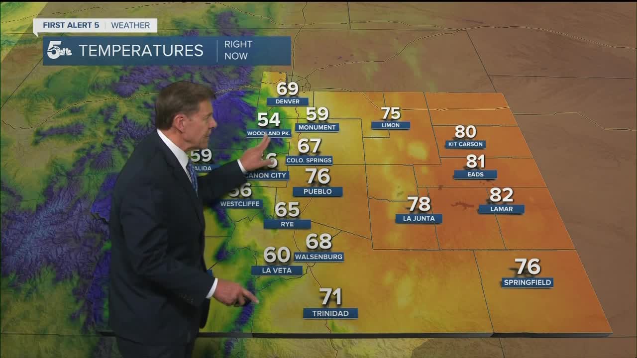
COLORADO SPRINGS: Low: 49; High: 71. The cool down continues on Wednesday, along with a better chance for rain and thunderstorms by the late afternoon and evening hours across the Pikes Peak Region.
PUEBLO: Low: 52; High: 78. Cooler with increasing clouds and spotty afternoon showers and thunderstorms. The moisture layer will deepen by the evening hours, leading to periods of rain for Wednesday night and Thursday morning.
CANON CITY: Low: 54; High: 77. A mix of sun and clouds early will give way to a better opportunity for more organized showers and thunderstorms during the afternoon and evening hours on Wednesday.
WOODLAND PARK: Low: 42; High: 62. Feeling more like fall on Wednesday. Behind a morning cold front will come a cooler and wetter day, with rain showers and thunderstorms likely to extend through at least late Wednesday night.
TRI-LAKES: Low: 40s; High: 60s/70s. Windy and cooler during the day as a cold front drops in from the north. Behind the front, moisture and instability will both increase, allowing for solid rain chances to return to the forecast from late afternoon through very early Thursday.
PLAINS: Low: 40s/50s; High: 70s/80s. We should stay dry across the Plains during the daylight hours before rain and thunderstorms move into the forecast Wednesday evening. Some areas could stay pretty wet through early Thursday morning, with beneficial rainfall expected.
WALSENBURG/TRINIDAD: Low: 40s/50s; High: 60s/70s. Rain will stay over the mountains most of the day before pushing into the southern I-25 corridor and Raton Mesa Wednesday night. Periods of rain will remain possible through Thursday morning.
MOUNTAINS: Low: 20s/30s; High: 40s/50s. We're looking at another active day of weather across the mountains, with developing rain and snow showers during the afternoon. Lowering snow levels Wednesday night could bring snow showers to around the 9,000 foot level.
Extended Outlook:
Following Wednesday's cold front, Thursday is expected to be our coolest day of the week. Along with the chilly weather will come the potential for at least some isolated showers, especially during the morning hours. The big fall chill will continue on Friday, with more wet weather possible throughout the day. Our forecast turns drier and warmer Saturday before we bring back the threat of afternoon showers and thunderstorms to the forecast from Sunday through early next week.
KOAA News5 on your time, streaming on your Roku, FireTV, AppleTV and AndroidTV.
News5 App | First Alert 5 Weather App | Youtube | Facebook | Instagram | Twitter
