

Today’s Forecast:
Following this morning's lunar eclipse, we're starting off Tuesday with mainly clear skies across Southern Colorado. It's a breezy start today, with the wind expected to be breezy to gusty throughout the day.
An approaching upper level low will bring a change to your skies this afternoon. A cold front will move through this morning. By 2-3 pm, an increase in moisture will lead to showers developing. This warm system will have a snow level mainly above 7,000-8,000 feet. Places like the southeaster mountains, Woodland Park, and the Palmer Divide, could see marginal accumulations with this system. You can expect showers to taper off overnight and overall precipitation totals should remain in the 0.1-0.2" range in our area.
Highs today will warm into the 40s, 50s and 60s across Southern Colorado.
Colorado Springs forecast: High: 54; Low: 30. After a super dry February that only brought 0.05" of total precipitation to Colorado Springs, some much needed moisture will be tracking through the Pikes Peak Region on Tuesday. For the lower elevations, this will be rain, with most light snow accumulations expected for areas above 7,000 to 8,000 feet.
Pueblo forecast: High: 65; Low: 29. It will be breezy to gusty on Tuesday, with a cooler north wind dropping highs back down to the 60s. An incoming cold front will increase our chances for rain this afternoon to evening, with even an isolated thunderstorm possible.
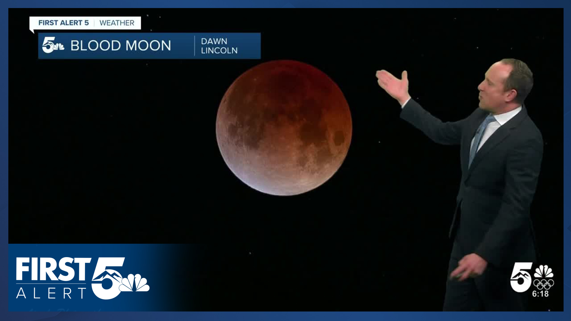
Canon City forecast: High: 64; Low: 34. After a cool display of this morning's total lunar eclipse, the rest of our Tuesday will also feature some excitement weather-wise. Breezy to gusty westerly winds this morning will turn to the northeast this afternoon, with increasing chances for rain heading into the evening hours.
Woodland Park forecast: High: 46; Low: 24. An incoming storm will arrive this afternoon, with a wintry mix early giving way to snow across Teller County. Due to the potential for heavier bursts of snow with this system, amounts will be variable. My forecast is calling for a trace to 2" of accumulation.
Tri-Lakes forecast: High: 40s/50s; Low: 20s/30s. Clear skies this morning, which have been great for the lunar eclipse, will give way to increasing rain and snow chances this afternoon. Snow levels will start out up above 8,000 feet before lowering to under 7,000 feet this evening. Accumulations up to 1" will be possible for parts of northern El Paso County.
Plains forecast: High: 50s/60s; Low: 20s/30s. Tuesday will be breezy to gusty, and cooler on the High Plains. A few rain showers will be possible late this afternoon and evening, with the best chances for rain today staying near the I-25 corridor.
Walsenburg and Trinidad forecast: High: 50s/60s; Low: 20s/30s. Warm and dry downsloping wind will bring another Red Flag Warning day to the southern I-25 corridor on Tuesday, in effect from 11 am to 5 pm. Heading into the evening hours, some much needed moisture arrives, along with a slight chance for spotty rain and snow showers.
Mountains forecast: High: 30s/40s; Low: 10s/20s. NW wind will be gusty today, peaking at around 40 mph in some areas. Much needed moisture will skirt the southeastern mountains this afternoon and evening, with a dusting to 2" of snow expected through late tonight.
Extended outlook forecast:
We'll have some more gusty breezes on Wednesday before our next system approaches on Thursday and continues to impact the area on Friday. Expect a warming trend with temperatures Wednesday back to the lower 60s in Colorado Springs, and Thursday to the mid to upper 60s. By Thursday, many areas on the Plains will see temperatures climbing into the 70s, and with increasing wind, fire danger may become elevated to critical by Thursday afternoon.
The next incoming system has more cold air - and a rain to snow mix is possible. We are continuing to nail down track and timing, stay tuned. This far out, it's best to keep an eye on the forecast as there could be some impacts to the Friday evening commute and your date night plans.
____
Curious about the First Alert 5 Weather Storm Impact Scale? Check out our cheatsheet explainer.
Watch KOAA News5 on your time, anytime with our free streaming app available for your Roku, FireTV, AppleTV and Android TV. Just search KOAA News5, download and start watching.
