Today’s Forecast:
Another Canadian cold front has swung through southern Colorado early this MLK Jr. Day, with a piece of this front backing into the Front Range mountains and turning stationary. This front motion is providing light upslope flow across the Palmer Divide which led to very light snow showers early this morning. Impacts will be low - with a coating possible as this weak band of flurries moves south. If traveling to Denver this morning, budget extra commute time over the Palmer Divide.
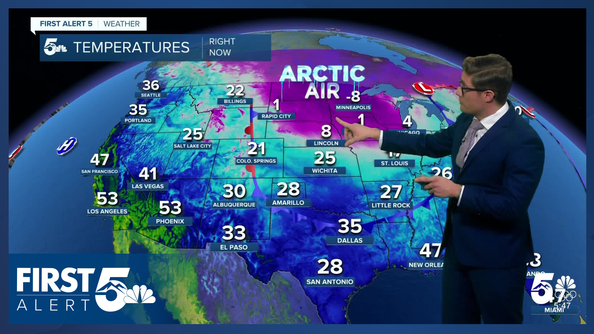
Temperatures remain below average today as the Canadian air mass sticks around. Skies will clear late this morning as dry air pushes in from the north. Winds today remain fairly light, which is the good news in contrast to last Friday's frontal system. Wind chills will not be significant as a result.
Colorado Springs forecast: High: 36; Low: 17.
Cold with early snow flurries giving way to cloudy dry skies, then clearing skies late this morning. It will be sunny throughout the rest of the day but it will remain chilly as the post-frontal air sticks around. Northern parts of Colorado Springs will have isolated slick spots on roads in the next few hours.
Pueblo forecast: High: 37; Low: 14.
A chilly MLK day - though it won't be particularly breezy. Skies will clear out by late morning. The lack of wind chill means it'll still be fine to spend time outside, but don't forget the gloves.
Canon City forecast: High: 41; Low: 24.
Cool and mostly cloudy through the morning - with sunshine this afternoon. Winds stay light, so wind chills aren't a factor today. Ultimately it will be a nice outdoor afternoon with a winter briskness in the dry air.
Woodland Park forecast: High: 36; Low: 16.
Mostly cloudy with an AM flurry possible - nothing of significance - and clearing skies leading to full afternoon sunshine. Light westerly winds - 5-10 mph today, which means it'll feel like the 20s in the afternoon in locations that aren't wind-blocked by the surrounding mountains. A nice MLK, but brisk, MLK day.
Tri-Lakes forecast: High: 30s; Low: Teens.
Following the early AM dusting of snow, roads are slick - budget some extra time to travel (but not much extra...this of course was not a major event). Mostly cloudy skies through around 9/10AM then quick clearing as dry air pushes in from the north. Light southwest winds at 5-10 mph.
Plains forecast: High: 30s/40s; Low: Teens.
AM Clouds - PM Sun, and chilly with some AM snow showers. A quick coating to, if you're very lucky, an inch, of snow possible with a band of snow pushing south. There's not much to it, but upslope flow is sufficient to provide a bit of lift to sustain that band. Snow rates within it stay <0.5"/hour, and it's mixing in some dry air...all around it's enough to make the grass look pretty, and not much else. It'll stay cold today as skies clear in the afternoon.
Walsenburg and Trinidad forecast: High: 39/41; Low: 24/19.
Patchy AM clouds, with PM full-sun. Some weak upslope easterly winds through mid-afternoon that should be barely noticeable. Overall, a cool but pleasant day.
Mountains forecast: High: 30s; Low: 10s/20s.
Mostly sunny with weak northerly winds - a nice change of pace from the gusty pattern we've had so often lately. Chilly today, but perfectly fine for hiking. Remember that trails above 8,000 feet or so do have snow, even though snowpack is very low and you'll need to hunt for places to actually need flotation.
Extended outlook forecast:
Downslope wind on Tuesday will warm highs back above average in southern Colorado - most of the region will warm to the 50s.
Winds will be out of the west northwest with gusts to 25 mph west of I-25, and slightly higher gusts in the foothills. It will be very dry, which means fire danger will be elevated. However, wind gusts are likely a limiting factor. While it will be gusty in the mountains, the breeze won't be able to mix down to the ground easily. Some of the gap flow regions in southern Colorado, such as Huerfano County east of the Sangres, will have a higher chance of seeing more critical fire weather conditions. It will be mostly sunny Tuesday morning. Mid and high clouds increase in the afternoon as another - weaker - cold front approaches, and eventually crosses the area in the evening.
Wednesday will be cooler following that front, but it's weak - so it should only cool highs a few degrees. Thursday will also be a fairly quiet day.
A winter weather maker will impact Colorado on Friday and Saturday, and snow is likely in southern Colorado. Multiple large-scale weather patterns are coming together at the same time to provide a good set up for cold air, moisture, and lift, across the state. While the models are still nailing down details of this system, including how two areas of energy phase (merge) together, the background global weather patterns provide a higher than usual confidence in the system actually occurring. Given the record low snowpack in the mountains, this would be very good news. Stay tuned.
____
Curious about the First Alert 5 Weather Storm Impact Scale? Check out our cheatsheet explainer.
Watch KOAA News5 on your time, anytime with our free streaming app available for your Roku, FireTV, AppleTV and Android TV. Just search KOAA News5, download and start watching.


