

Today’s Forecast:
After the second of two cold fronts swept across Southern Colorado on Sunday night, you're going to notice a big change to the forecast today. Overcast skies can be expected this morning, along with areas of fog and drizzle. Even with a few sunbreaks this afternoon, highs will be well below average. Temperatures will only warm into the 40s, 50s and 60s today for most areas, with lower 70s in the San Luis Valley.
A few showers will be possible from the Pikes Peak Region to the Denver metro this afternoon and evening, with some overnight showers and thunderstorms on the Plains.
Colorado Springs forecast: High: 54; Low: 38. After 70s this past weekend, highs will be around 15 degrees below average this afternoon. Driven by a cool and moist upslope flow pattern, skies will remain mostly cloudy on Monday.
Pueblo forecast: High: 60; Low: 44. Chilly, fall-like weather can be expected early this week, with morning clouds and fog giving way to a few sunbreaks this afternoon.
Canon City forecast: High: 57; Low: 45. The first full week of October will begin on a cool and cloudy note, with temperatures today running around 15 degrees below average.
Woodland Park forecast: High: 49; Low: 32. Areas of fog and drizzle this morning will give way to a few sunbreaks during the day followed by a chance for showers this evening.
Tri-Lakes forecast: High: 40s/50s; Low: 30s. Foggy, overcast skies this morning will give way to a mostly cloudy afternoon as temperatures will be well below average for this time of the year on Monday. This evening, there will be a slight chance for a few showers.
Plains forecast: High: 50s/60s; Low: 40s. Today begins one of two days with mostly cloudy skies and below average temperatures. A disturbance coming out of New Mexico this evening will bring a chance for showers and thunderstorms to the Plains through early Tuesday morning.
Walsenburg and Trinidad forecast: High: 50s; Low: 30s/40s. Grab a jacket before leaving home today as our weather will finally feel like fall! Energy moving from New Mexico into southeastern Colorado this evening will bring a chance for showers and thunderstorms to the southern I-25 corridor.
Mountains forecast: High: 40s; Low: 20s/30s. Chilly, with decreasing clouds during the day ahead of a system that will move from New Mexico into southeastern Colorado this evening. Most of the precipitation should stay east of the mountains, with only a slight chance of a rain or snow shower for the Sangres this evening.
Extended outlook forecast:
Lingering trofiness to our north will keep highs well below average again on Tuesday, with mostly cloudy skies and highs in the 50s and 60s.
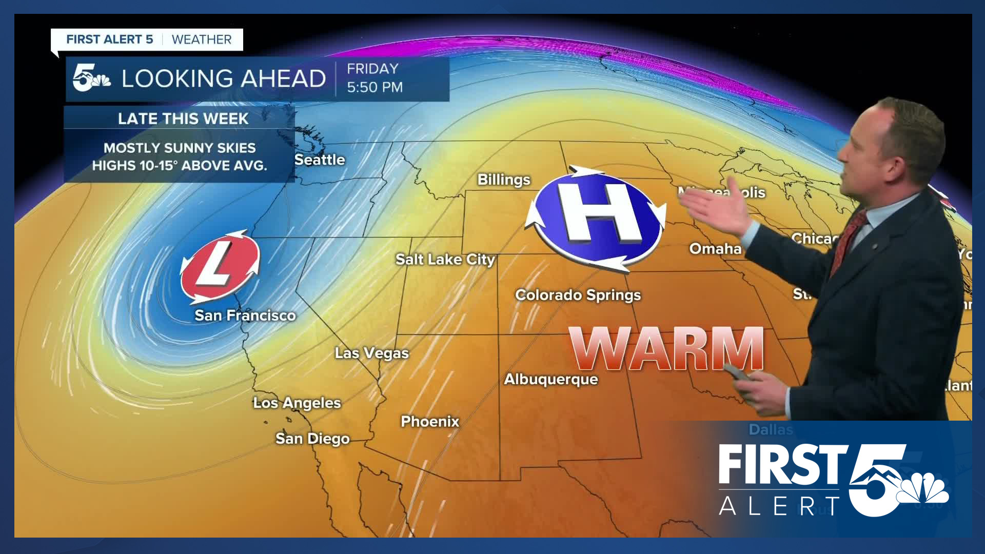
We'll turn the corner starting on Wednesday, with highs in the 70s and 80s on the Plains. Thursday will be even warmer, with our high in the Springs up near 80 degrees. Highs will cool by a few degrees on Friday to the middle 70s, with more 70 degree temperatures on the way this weekend from Colorado Springs to Canon City. Weekend temperatures in Pueblo and the lower Arkansas River Valley will soar into the 80s.
____
Curious about the First Alert 5 Weather Storm Impact Scale? Check out our cheatsheet explainer.
Watch KOAA News5 on your time, anytime with our free streaming app available for your Roku, FireTV, AppleTV and Android TV. Just search KOAA News5, download and start watching.
