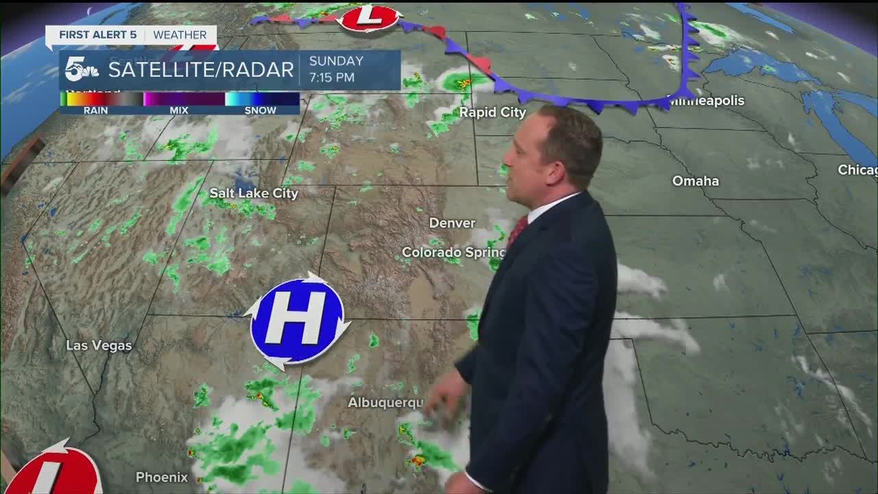


Today's Forecast:
As is common this time of the year in Southern Colorado, sunny skies this morning will turn stormy by the afternoon. Storms are likely to form over the mountains between 12-2 pm before pushing east into the I-25 corridor and Plains. Severe threat is lower today as a whole, except across the eastern and southeastern Plains where large hail and damaging winds will be possible. The rain should clear out of the forecast area before sunset, leaving us with a nice night to check out the fireworks.
COLORADO SPRINGS: High: 86; Low: 60. Seasonably warm across the Pikes Peak Region today, with showers and thunderstorms expected to pass through the area between 2-7 pm. For this evening, except clearing skies and good visibility for the fireworks.
PUEBLO: High: 92; Low: 62. A hot and sunny start to our Sunday will give way to scattered showers and thunderstorms from mid afternoon through early evening. Skies should clear out nicely by the time the sun goes down.
CANON CITY: High: 89; Low: 64. Storms today will be much more isolated than what we saw on Saturday, and will be long gone by fireworks time this evening.
WOODLAND PARK: High: 78; Low: 54. This morning's sunshine won't last long as showers and thunderstorms are likely to develop during the early afternoon hours across Teller County. Clearing skies this evening will offer good visibility for any July 4th fireworks.
TRI-LAKES: High: 80s; Low: 50s. Warm sunshine will give way to scattered afternoon showers and thunderstorms. The storms are likely to dissipate before sunset.
PLAINS: High: 90s; Low: 60s. The Plains should stay thunderstorm-free until later today, with the prime-time window for storms expected between 4-9 pm. Some storms will have the potential to turn severe across our far eastern and southeastern counties.
WALSENBURG/TRINIDAD: High: 80s/90s; Low: 50s/60s. We'll be feeling the heat today across the southern part of the state today as highs climb into the upper 80s and lower 90s. A few isolated thunderstorms will be possible, but these should be fairly hit or miss in nature.
MOUNTAINS: High: 70s/80s; Low: 50s. A mix of sun and clouds in the mountains will give way to scattered thunderstorms for the afternoon hours. The good news is that the rain is expected to clear out well before sunset and the fireworks.
Extended Outlook:
Near daily storm chances will remain the forecast through Tuesday before a drier pattern develops late this week. Tuesday's storms could be stronger and more widespread, and will bring the potential for periods of heavy rain. High pressure builds into the region starting on Wednesday and as we dry out, the heat will come roaring back into the forecast.
KOAA News5 on your time, streaming on your Roku, FireTV, AppleTV and AndroidTV.
News5 App | First Alert 5 Weather App | Youtube | Facebook | Instagram | Twitter
