

Today’s Forecast:
May will begin with isolated shower chances across Southern Colorado as our late week storm quickly clears out this morning. The two-day storm total from our spring storm system measured 0.66" at the Colorado Springs Airport. This means we ended the month with 0.93" of liquid precipitation, which is about 0.5" below average for the month of April. Today, skies will clear and highs will reach the mid-50s in Colorado Springs. Some of the warmest areas to our south and east will see highs in the lower to middle 60s.
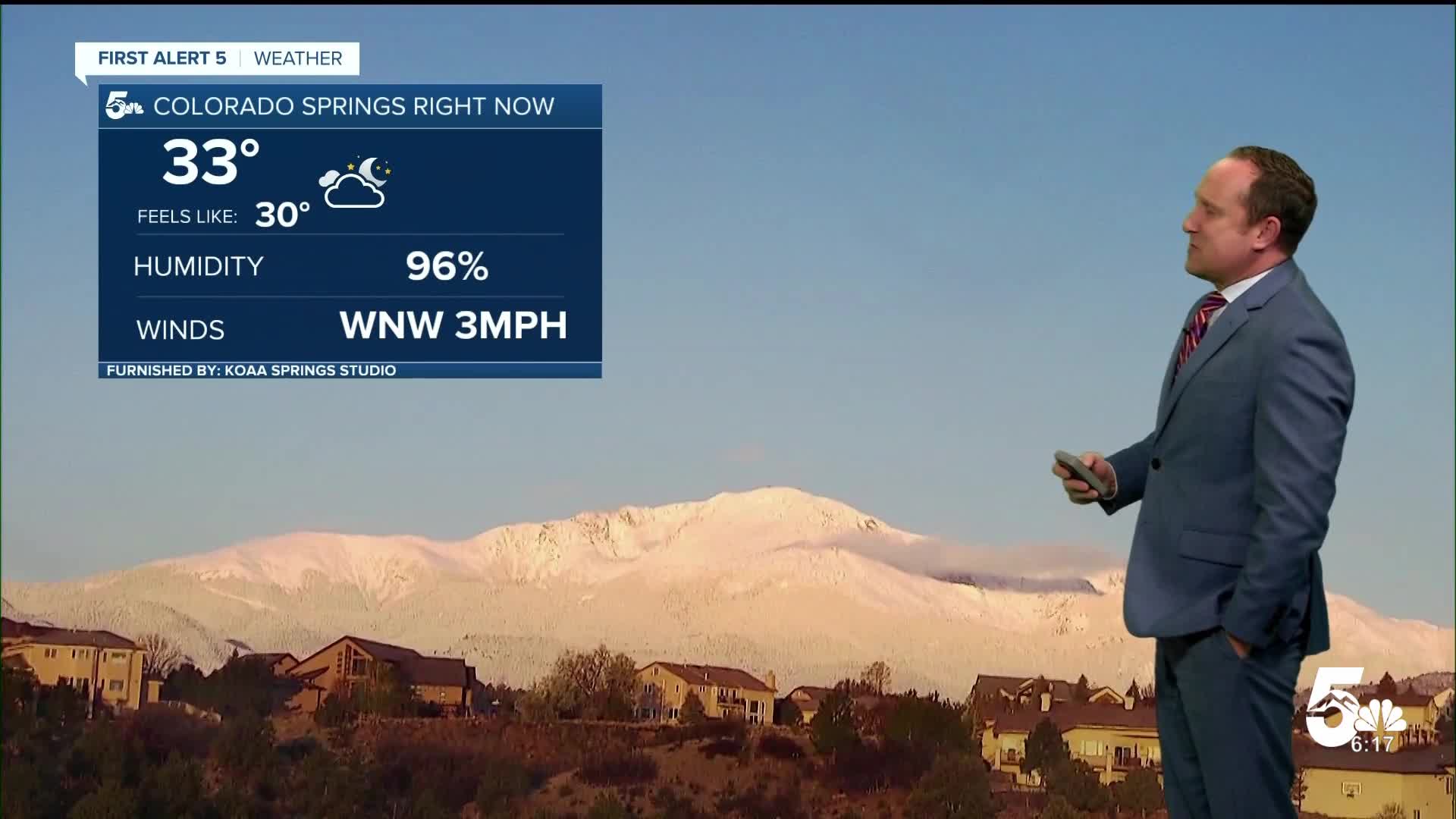
Overnight temperatures will be cold, with a mix of 20s and 30s. Take precautions to protect plants and sprinkler systems if the First Alert 5 weather app warns of a freeze in your area.
Colorado Springs forecast: High: 55; Low: 32. After a rainy and unsettled week, our latest storm will clear out quickly this morning, leaving us with a pleasant mix of sun and clouds this afternoon.
Pueblo forecast: High: 60; Low: 33. The showers that we saw early this morning have come to an end well before sunrise, with our forecast for the remainder of the day on Friday expected to be dry and cooler than average.
Canon City forecast: High: 58; Low: 35. Skies will clear out pretty quickly this morning as our latest storm moves out of Southern Colorado. Skies will turn partly cloudy this afternoon as temperatures today warm into the upper 50s.
Woodland Park forecast: High: 46; Low: 22. The main part of yesterday's storm has moved on this morning, but with enough recycled moisture leftover in the atmosphere, we can't rule out an isolated afternoon rain or snow shower in Teller County.
Tri-Lakes forecast: High: 40s/50s; Low: 20s/30s. Skies have quickly cleared out this morning following the mostly light showers we saw Thursday night into very early Friday morning. This afternoon, we'll see a mix of sun and clouds, with highs warming into the upper 40s and lower 50s.
Plains forecast: High: 60s; Low: 30s. A few leftover showers this morning on the southeastern Plains will give way to a mild and mostly sunny to partly cloudy afternoon. Highs today will range from the upper 50s to middle 60s.
Walsenburg and Trinidad forecast: High: 40s/50s; Low: 20s/30s. Showers should wrap up along the southern I-25 corridor between 7-8 am, with dry skies and chilly highs expected for the remainder of our Friday.
Mountains forecast: High: 40s; Low: 20s. A few lingering snow showers will remain possible over the southern Sangres this morning. This afternoon, there's a chance for some spotty snow showers in the mountains, with little to no additional accumulations expected.
Extended outlook forecast:
Temperatures continue to warm on Saturday as upper-level ridging builds across the area. Skies will be mostly sunny. Sunday will be even warmer, and less breezy. Highs by Sunday on the Plains will warm into the 70s and very low 80s, which will be around 6-10 degrees warmer than Saturday.
Our next weather system will approach Monday, leading to a chance for isolated to scattered afternoon showers and storms. A front will approach on Tuesday, leading to better upslope flow and relatively higher storm chances. Isolated storm chances continue to Wednesday. Highs will fall in the-mid week period, with 50s and 60s by Tuesday and Wednesday. Isolated mountain showers remain possible late next week.
____
Curious about the First Alert 5 Weather Storm Impact Scale? Check out our cheatsheet explainer.
Watch KOAA News5 on your time, anytime with our free streaming app available for your Roku, FireTV, AppleTV and Android TV. Just search KOAA News5, download and start watching.
