

Today’s Forecast:
A backdoor cold front has swept through Southern Colorado early this morning - and as you'd expect, that means cooler temperatures for you today. This morning, skies will be partly to mostly cloudy. The jet stream is still screaming along, but it's a bit farther north today compared to Tuesday. This means strong, damaging winds are again in the forecast for the northern mountains, but it will be less breezy today across Southern Colorado compared to Tuesday. Due to overnight mixing, morning temperatures are still above average - in the 30s, instead of the teens and 20s. Highs today will be in the 40s and 50s, and winds will mainly be out of the south/southwest after being out of the north overnight.
Colorado Springs forecast: High: 48; Low: 35. Breezy this morning, with the wind shifting to the south this afternoon and weakening across the Pikes Peak Region. Temperatures today will be cooler than yesterday by around 10-15 degrees.
Pueblo forecast: High: 52; Low: 31. A healthy cool down to the lower 50s will follow yesterday's high in the middle 60s. A warm-up will follow on Thursday, with dry skies for the next 24-48 hours.
Canon City forecast: High: 55; Low: 41. Today's weather will be beautiful, with above average highs and a lot less wind than what we saw on Tuesday.
Woodland Park forecast: High: 47; Low: 32. Cooler on Wednesday, but we'll still be above average for this time of the year. Increasing wind can be expected tonight, with westerly wind gusts to 35 mph after midnight.
Tri-Lakes forecast: High: 40s/50s; Low: 30s/40s. After a breezy morning in the wake of last night's cold front, today's weather will be cooler and calmer, with SW winds sustained this afternoon at 10-15 mph.
Plains forecast: High: 40s/50s; Low: 20s/30s. Highs today will be modestly cooler as we swap out 60s for 40s and 50s this afternoon. Highs tomorrow will be warmer again, with 70s in some areas.
Walsenburg and Trinidad forecast: High: 50s; Low: 30s/40s. While it won't be as windy as yesterday on the southern I-25 corridor, stronger wind spilling down the eastern mountain slopes will bring gusts to 30 mph in some areas this afternoon.
Mountains forecast: High: 30s/40s; Low: 30s/40s. Breezy to gusty again in the mountains on Wednesday, with peak gusts during the day around 35 mph, and stronger gusts to 45 mph tonight after midnight.
Extended outlook forecast:
Tonight, downslope breezes will again keep the air mixed and temperatures relatively mild with lows bottoming out in the 30s and lower 40s. Temps rocket back up Thursday into the 60s and 70s on the Plains. The record high on Thursday in Colorado Springs is 72, set in 1939. We won't be close to that mark, but we'll still be about 20 degrees above average. Winds shift back out of the northwest, and it will be breezy to gusty over the Palmer Divide and for areas west of I-25. Wave clouds are likely, which will result in partly to mostly cloudy skies.
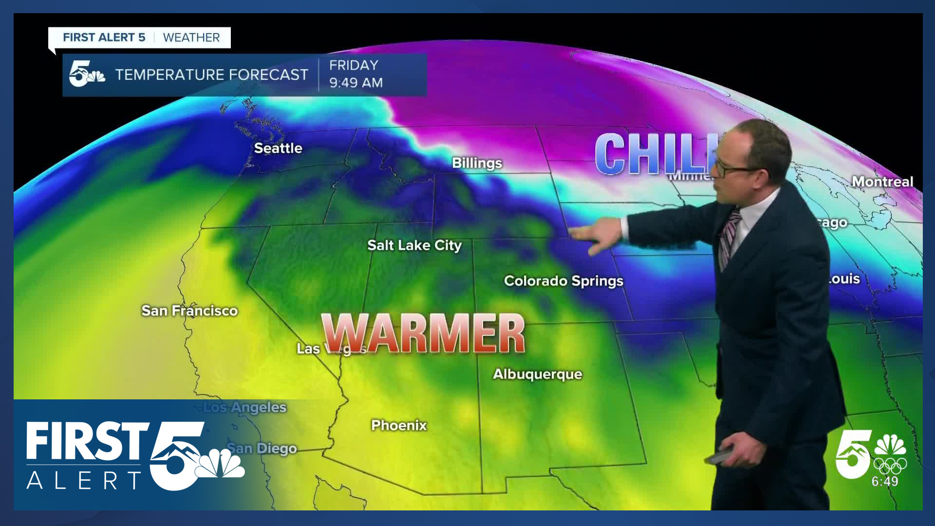
The jet stream - our storm conveyor belt - continues to nudge its way further north on Friday, which will reduce wind speeds. Another backdoor cold front will arrive early in the morning, so Friday's temperatures will again cool down region-wide.
High pressure builds in this weekend, leading to clearer skies, and continued above average temperatures for Southern Colorado.
____
Curious about the First Alert 5 Weather Storm Impact Scale? Check out our cheatsheet explainer.
Watch KOAA News5 on your time, anytime with our free streaming app available for your Roku, FireTV, AppleTV and Android TV. Just search KOAA News5, download and start watching.
