

Today’s Forecast:
After thunderstorms last night, a few showers have lingered this morning for areas south of Highway 50. These showers will dissipate by around sunrise this morning, while moving from west to east away from the mountains. Temperatures today will take a hit of around 6-12 degrees after last night's cold front. Temperatures will warm into the 60s, 70s, 80s across Southern Colorado.
With low pressure moving from Utah into Wyoming on Thursday, our weather will remain active. Most of us will continue to see breezy to gusty SW winds, with peak gusts around 20-30 mph. On the far eastern Plains where high dew points persist, we could see a few thunderstorms this afternoon and evening. The threat for severe weather will be low due to the scattered nature of these storms, but where they do form, large hail and severe wind gusts will be possible.
Colorado Springs forecast: High: 70; Low: 36. As low pressure moves from Utah to Wyoming on Thursday, skies will clear out, but the wind will remain gusty. SW wind gusts of 20-30 mph will accompany a cool down as highs drop from the lower 80s on Wednesday to near 70 degrees today.
Pueblo forecast: High: 77; Low: 38. Thursday's forecast will be bright, cooler and breezy. Even with a cool down of around 10 degrees from yesterday, today's high off 77 will be well above the average high of 70 degrees.
Canon City forecast: High: 74; Low: 40. Thursday will be breezy, with a modest cool down to the middle 70s. Southwesterly wind gusts will be around 20-30 this afternoon and early this evening.
Woodland Park forecast: High: 59; Low: 27. We can expect fall-like changes late this week in Teller County. Our weather today will be cooler and breezy. This will be followed by a hard freeze tonight as lows drop down to the middle to upper 20s.
Tri-Lakes forecast: High: 60s; Low: 30s. As cooler air pushes into the state late this week, we'll get to enjoy some fall-like weather these next few days. Today will be breezy, with highs in the 60s, and lows tonight near freezing.
Plains forecast: High: 70s/80s; Low: 40s. Breezy to gusty and warm on Thursday, with southwest wind gusts to 35 mph in some areas. On the far eastern Plains, we could see a few isolated thunderstorms, along with a small chance for severe weather.
Walsenburg and Trinidad forecast: High: 70s; Low: 30s/40s. While rain is not expected on Thursday, the wind will remain breezy to gusty. Peak gusts this afternoon are expected to range between 30-35 mph.
Mountains forecast: High: 40s/50s; Low: 20s. After a long unsettled stretch of weather for the mountains this past week, dry skies and sunshine are expected on Thursday. The wind will remain gusty today, with weakening wind by Friday.
Extended outlook forecast:
A weak cold front this evening will bring some additional cooling to our forecast on Friday. After lows in the 30s for many areas Friday morning, our high tomorrow in Colorado Springs will only top out in the 60s.
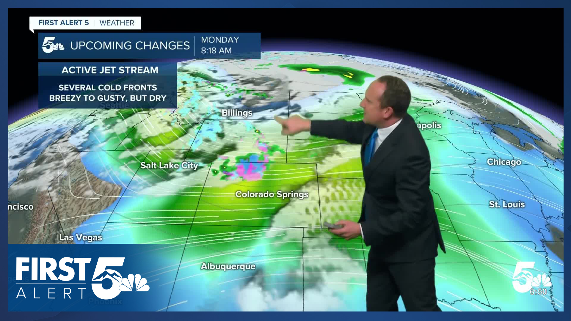
We'll continue to see highs in the 60s in the Pikes Peak Region on Saturday before rebounding to the 70s on Sunday and Monday. Our first cold front of the week will push in from the north of Monday, with rain and snow for northern Colorado and a slight chance for precipitation in the Pikes Peak Region. If we don't see a freeze this weekend, we could see our first freeze of the season Monday night in Colorado Springs and Pueblo.
____
Curious about the First Alert 5 Weather Storm Impact Scale? Check out our cheatsheet explainer.
Watch KOAA News5 on your time, anytime with our free streaming app available for your Roku, FireTV, AppleTV and Android TV. Just search KOAA News5, download and start watching.
