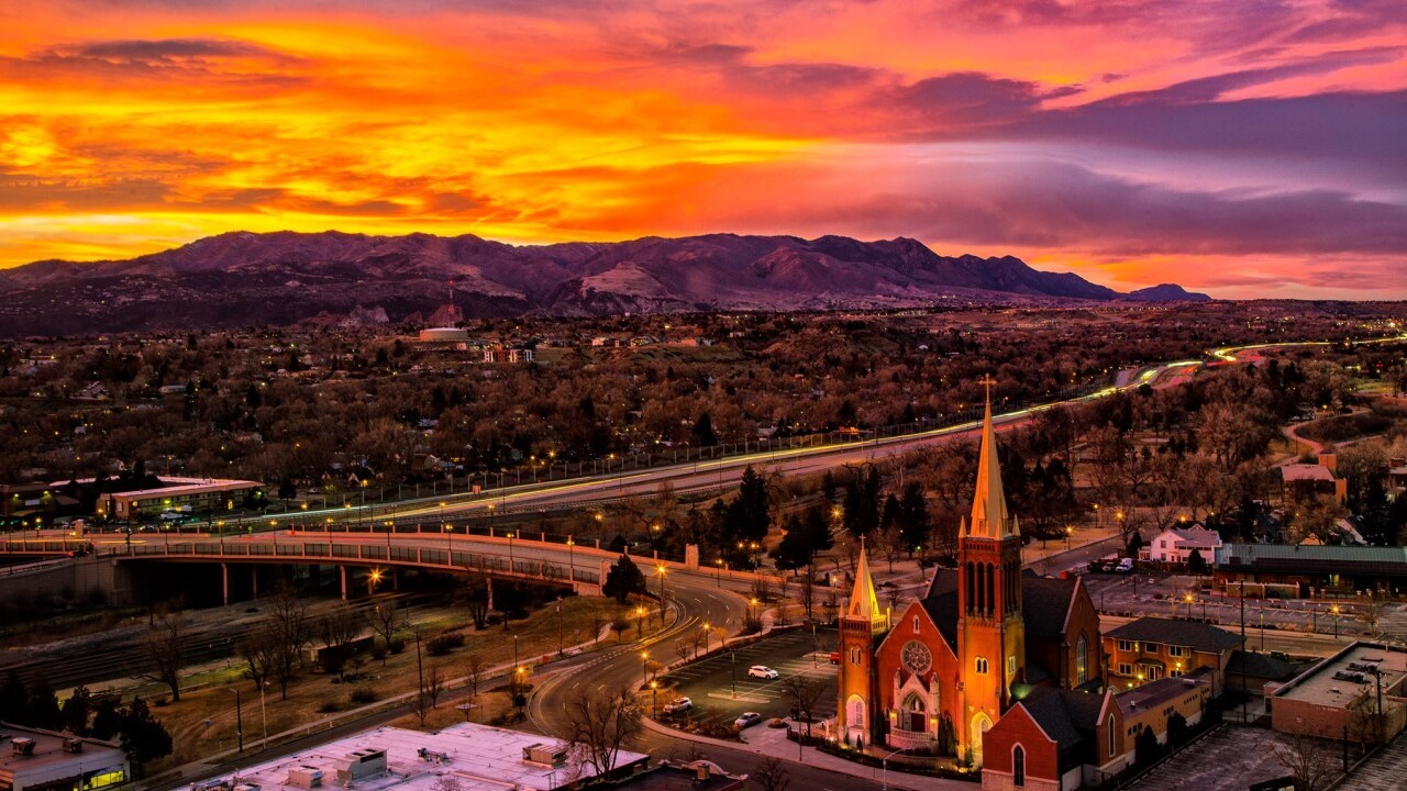
Tonight's Forecast: Breezy early this evening, with the forecast later tonight calling for decreasing wind and increasing clouds out ahead of Monday's storm. Overnight lows will be colder tonight, with temperatures dropping down to the 20s and 30s across most of Southern Colorado.
COLORADO SPRINGS: Low: 29; High: 33. Monday's forecast will be much colder, with highs down nearly 40 degrees from Sunday. It will be breezy during the day, with snow increasing between 4 and 7 pm.
PUEBLO: Low: 28; High: 37. After a high of nearly 80 degrees on Sunday, we're expecting a cool down of more than 40 degrees on Monday. Snow showers will increase between 4 and 7 pm, with gusty winds throughout the day.
CANON CITY: Low: 34; High: 40. A major drop in temperatures on Monday will bring winter back to the forecast in a big way. It will also be windy throughout the day, with snow increasing between 2 and 5 pm.
WOODLAND PARK: Low: 23; High: 31. A significant drop in temperatures Monday will usher in an abrupt change to our weather pattern. Wind and snow will increase by late afternoon, with heavy snow expected by the evening hours.
TRI-LAKES: Low: 20s; High: 20s/30s. Winter returns on Monday, with gusty winds and much colder temperatures for the first Monday of February. Snow is expected to pick up just after the lunch hour, and it will be heavy at times by Monday night.
PLAINS: Low: 20s/30s; High: 30s/40s. Highs on Sunday were in the 70s and 80s. Highs on Monday will only warm into the 30s and low 40s. Snow will pick up between 8 pm and midnight.
WALSENBURG/TRINIDAD: Low: 30s; High: 30s/40s. Weather whiplash on Monday, with a cold and windy day giving way to increasing snow showers late at night. The snow here should hold off until after 7 pm.
Extended Outlook: Snow will continue into Tuesday morning from a secondary cold front moving through Southern Colorado. The snow should taper off around the lunch hour for the I-25 corridor, but could linger through the afternoon across the mountains and higher elevations. Tuesday will be bone chilling cold, with highs only warming into the 10s and 20s. Lows tonight will be in the single digits and into negative territory for some. Wednesday stays pretty chilly, with a gradual warming trend to follow heading into the end of the week.
Here is the latest thinking for snow totals through Tuesday evening:


