

Today’s Forecast:
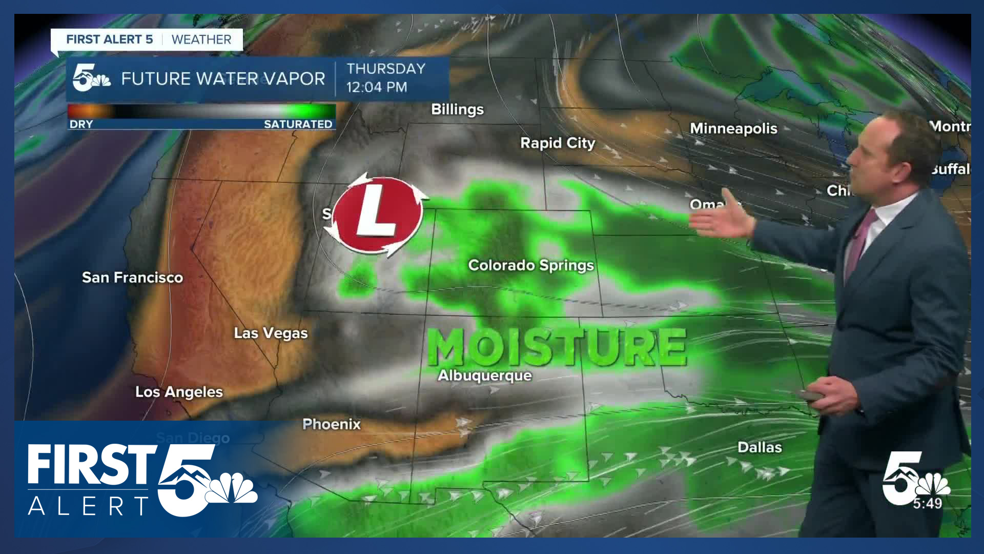
A few overnight showers have brought damp and cool conditions to Southern Colorado this morning. Skies this morning will remain mainly cloudy, with just a few sunbreaks during the first half of the day. Although it will be cloudy, most areas will stay dry until the afternoon. By the afternoon and evening hours, our chances for rain will increase, with scattered showers, thunderstorms and mountain snow. Later tonight as colder air arrives, snow levels will drop to around 7,500 feet, with some light accumulations for parts of Teller County into Thursday morning.
Highs today will be cooler than average, only warming into the 50s and 60s for most areas.
Colorado Springs forecast: High: 57; Low: 37. Mostly cloudy to cloudy skies this morning will way to a chance for showers and thunderstorms this afternoon. Then this evening, rain chances are expected to increase, with steadier rain possible into the overnight hours.
Pueblo forecast: High: 66; Low: 39. Although it will look like rain this morning, we aren't expecting to see any showers in Pueblo County until the afternoon hours, with our best chances for rain this evening and overnight tonight.
Canon City forecast: High: 64; Low: 41. Wednesday will mark the start of an active 3-day stretch of weather for Fremont County. Scattered showers and thunderstorms during the day today will give way to better chances for rain late this evening.
Woodland Park forecast: High: 51; Low: 28. Wednesday's forecast will bring a mixed bag of weather to Teller County. Precipitation chances will increase by the lunch hour, with scattered showers and thunderstorms this afternoon. Lowering snow levels tonight could bring a quick 1-3" of snow to some areas by tomorrow morning.
Tri-Lakes forecast: High: 50s; Low: 30s. Ovenright showers have left some roads wet early this morning, but skies have dried out for the time being. That will change this afternoon as rain showers and thunderstorms begin to develop around the lunch hour.
Plains forecast: High: 60s/70s; Low: 30s/40s. Skies will remain mostly cloudy to cloudy on Wednesday, with temperatures today only warming into the 60s to very low 70s. Showers and isolated thunderstorms this afternoon will give way to more widespread rainfall this evening.
Walsenburg and Trinidad forecast: High: 60s; Low: 30s. While we haven't seen much rain yet this week, that looks to change starting today, with scattered shower possible this afternoon, and increasing chances for rain (and snow) Thursday and Friday.
Mountains forecast: High: 40s; Low: 20s. The first round of beneficial moisture will arrive today, with snow levels up around 9,000 feet early this afternoon before dropping down to around 7,500 feet this evening. A WINTER STORM WATCH has been issued for the mountains from 6 am Thursday to noon Friday. Expect impacts to travel during this time.
Extended outlook forecast:
Thursday starts out overcast, with some light showers or sprinkles still possible across Southern Colorado. An incoming storm will increase our chances for rain by the afternoon and evening, and once the rain arrives, it will be persistent. Rain is likely through Friday morning, tapering off to showers Friday afternoon and evening. Highs Thursday and Friday will only warm into the 40 s.
WINTER STORM WATCHES have been issued for Teller County, Pikes Peak, the Wet Mountains and Sangre de Cristos, in effect from 6 am Thursday to noon Friday. Areas above 11,000 feet are poised to see as much as 10-20" of snow. I have 8-12" in the forecast for Woodland Park, and as much as 2-6" on Monument Hill. Some light accumulations will be possible in the Springs, but shouldn't impact travel on the roads below 7,000 feet.
There remains some differences on timing as to when the storm clears out. Some models suggest additional showers through late Friday night. A freeze will follow Friday night into Saturday morning, with temperatures dropping into the upper 20s and lower 30s. A warm-up will follow this weekend, with 60s on Saturday for the I-25 corridor, and a mix of 60s and 70s by Sunday.
____
Curious about the First Alert 5 Weather Storm Impact Scale? Check out our cheatsheet explainer.
Watch KOAA News5 on your time, anytime with our free streaming app available for your Roku, FireTV, AppleTV and Android TV. Just search KOAA News5, download and start watching.
